5372 Brookside Ct Pleasanton, CA 94588
Foothill-Pleasanton NeighborhoodEstimated Value: $1,137,000 - $1,217,000
4
Beds
3
Baths
2,119
Sq Ft
$558/Sq Ft
Est. Value
About This Home
This home is located at 5372 Brookside Ct, Pleasanton, CA 94588 and is currently estimated at $1,182,251, approximately $557 per square foot. 5372 Brookside Ct is a home located in Alameda County with nearby schools including Lydiksen Elementary School, Thomas S. Hart Middle School, and Foothill High School.
Ownership History
Date
Name
Owned For
Owner Type
Purchase Details
Closed on
Nov 30, 2011
Sold by
Cunniffe Edmund Joseph and Cunniffe Vicki Ann
Bought by
The Vicki A & Edmund J Cunniffe Jr Livin
Current Estimated Value
Purchase Details
Closed on
Aug 26, 2002
Sold by
Cunniffe Edmund Joseph
Bought by
Cunniffe Edmund Joseph and Cunniffe Vicki Ann
Create a Home Valuation Report for This Property
The Home Valuation Report is an in-depth analysis detailing your home's value as well as a comparison with similar homes in the area
Home Values in the Area
Average Home Value in this Area
Purchase History
| Date | Buyer | Sale Price | Title Company |
|---|---|---|---|
| The Vicki A & Edmund J Cunniffe Jr Livin | -- | None Available | |
| Cunniffe Edmund Joseph | -- | -- |
Source: Public Records
Tax History
| Year | Tax Paid | Tax Assessment Tax Assessment Total Assessment is a certain percentage of the fair market value that is determined by local assessors to be the total taxable value of land and additions on the property. | Land | Improvement |
|---|---|---|---|---|
| 2025 | $3,195 | $270,466 | $110,265 | $167,201 |
| 2024 | $3,195 | $265,027 | $108,104 | $163,923 |
| 2023 | $3,156 | $266,693 | $105,984 | $160,709 |
| 2022 | $2,990 | $254,464 | $103,906 | $157,558 |
| 2021 | $2,912 | $249,338 | $101,869 | $154,469 |
| 2020 | $2,874 | $253,709 | $100,824 | $152,885 |
| 2019 | $2,906 | $248,736 | $98,848 | $149,888 |
| 2018 | $2,846 | $243,859 | $96,910 | $146,949 |
| 2017 | $2,774 | $239,079 | $95,010 | $144,069 |
| 2016 | $2,555 | $234,391 | $93,147 | $141,244 |
| 2015 | $2,507 | $230,871 | $91,748 | $139,123 |
| 2014 | $2,549 | $226,349 | $89,951 | $136,398 |
Source: Public Records
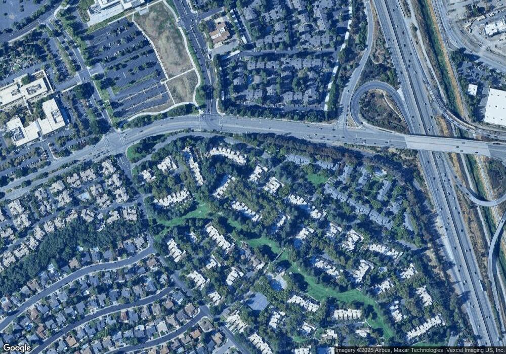
Map
Nearby Homes
- 5262 Riverdale Ct
- 7518 Rosedale Ct
- 7332 Stonedale Dr
- 7551 Maywood Dr
- 7543 Maywood Dr
- 7210 Valley View Ct
- 7814 Knollbrook Dr
- 6869 Massey Ct
- 7544 Highland Oaks Dr
- 4645 Helpert Ct
- 6762 Rancho Ct
- 7333 Tulipwood Cir
- 4234 Chapman Way
- 0 Highway 128 Hwy Unit 326001688
- 3920 Empire Ct
- 7758 Forsythia Ct
- 7906 Regional Common
- 7991 Regional Common
- 6172 Everglades Ct
- 7358 Elmwood Cir
- 5376 Brookside Ct
- 5380 Brookside Ct
- 5368 Brookside Ct
- 5384 Brookside Ct
- 7502 Stonedale Dr
- 7514 Stonedale Dr
- 5379 Brookside Ct
- 5375 Brookside Ct
- 5383 Brookside Ct
- 5371 Brookside Ct
- 7526 Stonedale Dr
- 5364 Brookside Ct
- 7538 Stonedale Dr
- 5360 Brookside Ct
- 5356 Brookside Ct
- 7487 Stonedale Dr
- 5352 Brookside Ct
- 7562 Stonedale Dr
- 5332 Brookside Ct
- 5328 Brookside Ct
Your Personal Tour Guide
Ask me questions while you tour the home.