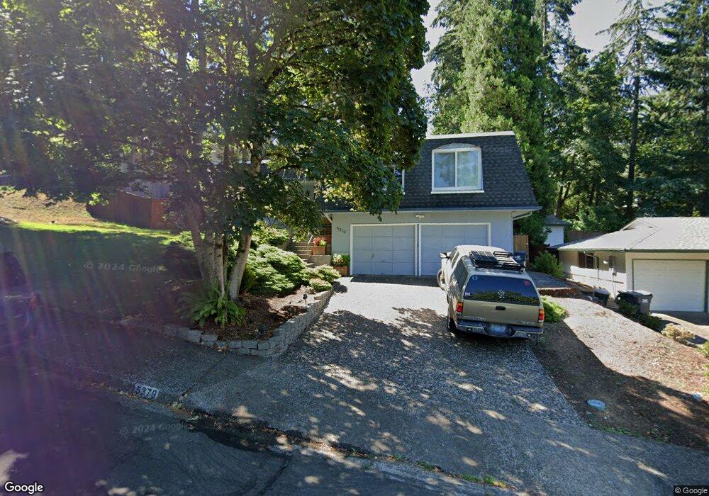
5379 Donald St Eugene, OR 97405
Southeast Eugene NeighborhoodEstimated Value: $534,000 - $584,000
3
Beds
3
Baths
2,035
Sq Ft
$277/Sq Ft
Est. Value
About This Home
This home is located at 5379 Donald St, Eugene, OR 97405 and is currently estimated at $563,808, approximately $277 per square foot. 5379 Donald St is a home located in Lane County with nearby schools including Edgewood Community Elementary School, Spencer Butte Middle School, and South Eugene High School.
Ownership History
Date
Name
Owned For
Owner Type
Purchase Details
Closed on
Aug 14, 2013
Sold by
Hoff Chris and Beasley Hoff Karen
Bought by
Hunt Nathaniel D and Hunt Jenelle M
Current Estimated Value
Home Financials for this Owner
Home Financials are based on the most recent Mortgage that was taken out on this home.
Original Mortgage
$175,000
Outstanding Balance
$129,166
Interest Rate
4.28%
Mortgage Type
New Conventional
Estimated Equity
$434,642
Purchase Details
Closed on
May 26, 2006
Sold by
Reedal Richard J
Bought by
Hoff Chris and Beasley Karen
Home Financials for this Owner
Home Financials are based on the most recent Mortgage that was taken out on this home.
Original Mortgage
$200,000
Interest Rate
6.52%
Mortgage Type
Fannie Mae Freddie Mac
Purchase Details
Closed on
Jun 13, 2002
Sold by
Bachmeier Elisabeth Barbara
Bought by
Reedal Richard J
Create a Home Valuation Report for This Property
The Home Valuation Report is an in-depth analysis detailing your home's value as well as a comparison with similar homes in the area
Home Values in the Area
Average Home Value in this Area
Purchase History
| Date | Buyer | Sale Price | Title Company |
|---|---|---|---|
| Hunt Nathaniel D | $240,000 | Western Title & Escrow Co | |
| Hoff Chris | $310,000 | First American Title | |
| Reedal Richard J | $140,000 | -- |
Source: Public Records
Mortgage History
| Date | Status | Borrower | Loan Amount |
|---|---|---|---|
| Open | Hunt Nathaniel D | $175,000 | |
| Previous Owner | Hoff Chris | $200,000 |
Source: Public Records
Tax History
| Year | Tax Paid | Tax Assessment Tax Assessment Total Assessment is a certain percentage of the fair market value that is determined by local assessors to be the total taxable value of land and additions on the property. | Land | Improvement |
|---|---|---|---|---|
| 2025 | $5,523 | $283,456 | -- | -- |
| 2024 | $5,454 | $275,200 | -- | -- |
| 2023 | $5,454 | $267,185 | $0 | $0 |
| 2022 | $5,110 | $259,403 | $0 | $0 |
| 2021 | $4,799 | $251,848 | $0 | $0 |
| 2020 | $4,816 | $244,513 | $0 | $0 |
| 2019 | $4,651 | $237,392 | $0 | $0 |
| 2018 | $4,378 | $223,765 | $0 | $0 |
| 2017 | $4,182 | $223,765 | $0 | $0 |
| 2016 | $4,078 | $217,248 | $0 | $0 |
| 2015 | $3,961 | $210,920 | $0 | $0 |
| 2014 | $3,881 | $204,777 | $0 | $0 |
Source: Public Records
Map
Nearby Homes
- 296 Woodridge Dr
- 202 Foxtail Dr
- 4734 Brookwood St
- 4845 Brookwood St
- 143 Treehill Loop Unit 143
- 152 Treehill Loop Unit 152
- 151 Treehill Loop Unit 151
- 223 Trailside Loop Unit 223
- 422 Stonewood Dr Unit 422
- 36 Westbrook Way
- 418 Stonewood Dr Unit 418
- 278 Rockridge Ct
- 395 E 46th Ave
- 21 Westbrook Way
- 17 Westbrook Way
- 4680 W Hillside Dr
- 892 Sprague St
- 4425 Hilyard St
- 4427 Fox Hollow Rd Unit 7
- 31613 Pruett Rd
Your Personal Tour Guide
Ask me questions while you tour the home.