5384 Taft Rd Duluth, MN 55803
Estimated Value: $294,000 - $340,496
1
Bed
2
Baths
1,364
Sq Ft
$235/Sq Ft
Est. Value
About This Home
This home is located at 5384 Taft Rd, Duluth, MN 55803 and is currently estimated at $320,874, approximately $235 per square foot. 5384 Taft Rd is a home with nearby schools including Hermantown Elementary School, Hermantown Middle School, and Hermantown Middle - Senior High School.
Ownership History
Date
Name
Owned For
Owner Type
Purchase Details
Closed on
May 13, 2024
Sold by
Schlichting Barbara and Schlichting Daniel
Bought by
Knudsen Aaron
Current Estimated Value
Home Financials for this Owner
Home Financials are based on the most recent Mortgage that was taken out on this home.
Original Mortgage
$290,900
Outstanding Balance
$286,774
Interest Rate
6.82%
Mortgage Type
VA
Estimated Equity
$34,100
Purchase Details
Closed on
Mar 5, 2012
Sold by
The County Of St Louis
Bought by
Ruhanen Carl E
Create a Home Valuation Report for This Property
The Home Valuation Report is an in-depth analysis detailing your home's value as well as a comparison with similar homes in the area
Purchase History
| Date | Buyer | Sale Price | Title Company |
|---|---|---|---|
| Knudsen Aaron | $290,900 | The Title Team | |
| Ruhanen Carl E | $26,100 | None Available |
Source: Public Records
Mortgage History
| Date | Status | Borrower | Loan Amount |
|---|---|---|---|
| Open | Knudsen Aaron | $290,900 |
Source: Public Records
Tax History
| Year | Tax Paid | Tax Assessment Tax Assessment Total Assessment is a certain percentage of the fair market value that is determined by local assessors to be the total taxable value of land and additions on the property. | Land | Improvement |
|---|---|---|---|---|
| 2024 | $1,826 | $329,600 | $80,700 | $248,900 |
| 2023 | $1,826 | $290,900 | $73,300 | $217,600 |
| 2022 | $3,072 | $274,800 | $69,900 | $204,900 |
| 2021 | $2,310 | $246,600 | $69,200 | $177,400 |
| 2020 | $2,386 | $184,000 | $31,800 | $152,200 |
| 2019 | $2,364 | $184,000 | $31,800 | $152,200 |
| 2018 | $1,868 | $184,000 | $31,800 | $152,200 |
| 2017 | $1,804 | $142,600 | $31,800 | $110,800 |
| 2016 | $1,500 | $138,600 | $31,800 | $106,800 |
| 2015 | $1,202 | $92,800 | $37,900 | $54,900 |
| 2014 | $1,201 | $92,800 | $37,900 | $54,900 |
Source: Public Records
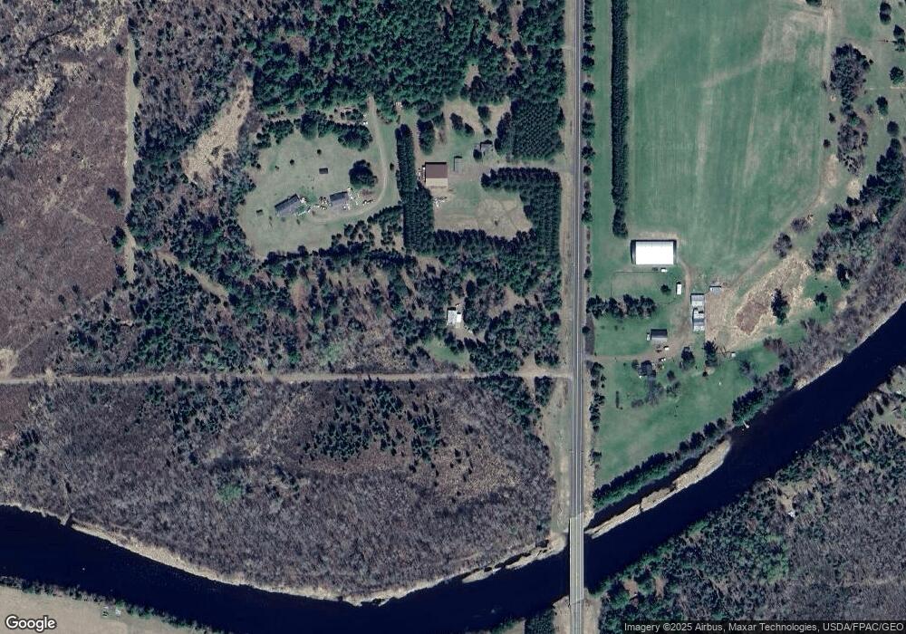
Map
Nearby Homes
- XXX Forest Dr
- 6537 Fredenberg Lake Rd
- 6944 Bear Island Rd
- 5524 Driftwood Estates Rd
- 4646 W Pioneer Rd
- 4537 W Bay View Ln
- 4437 Sunshine Lake Rd
- XX37 W Lismore Rd
- 4512 Boulder Dam Rd
- 5868 Rice Lake Rd
- XXX A Locust Rd
- XXX B Locust Rd
- 5290 Lavaque Rd
- 6000 Birch Point Rd
- 3974 W Pioneer Rd
- 5150 Lindahl Rd
- 5469 Martin Rd
- 5XXX Martin Rd
- 58xx Howard Gnesen Rd
- 5148 Martin Rd
Your Personal Tour Guide
Ask me questions while you tour the home.