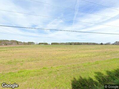
5385 Cobbs Station Rd Cape Charles, VA 23310
Estimated Value: $414,577 - $480,000
3
Beds
3
Baths
2,488
Sq Ft
$178/Sq Ft
Est. Value
About This Home
This home is located at 5385 Cobbs Station Rd, Cape Charles, VA 23310 and is currently estimated at $443,394, approximately $178 per square foot. 5385 Cobbs Station Rd is a home located in Northampton County with nearby schools including Northampton High School.
Ownership History
Date
Name
Owned For
Owner Type
Purchase Details
Closed on
Jul 21, 2020
Sold by
Harlow Ronald W and Harlow Linda A
Bought by
Brown Thomas A and Brown Ann M
Current Estimated Value
Home Financials for this Owner
Home Financials are based on the most recent Mortgage that was taken out on this home.
Original Mortgage
$216,750
Outstanding Balance
$194,751
Interest Rate
3.1%
Mortgage Type
New Conventional
Estimated Equity
$248,643
Create a Home Valuation Report for This Property
The Home Valuation Report is an in-depth analysis detailing your home's value as well as a comparison with similar homes in the area
Home Values in the Area
Average Home Value in this Area
Purchase History
| Date | Buyer | Sale Price | Title Company |
|---|---|---|---|
| Brown Thomas A | $289,000 | Attorney |
Source: Public Records
Mortgage History
| Date | Status | Borrower | Loan Amount |
|---|---|---|---|
| Open | Brown Thomas A | $216,750 | |
| Previous Owner | Harlow Ronald W | $125,000 | |
| Previous Owner | Harlow Linda A | $194,843 | |
| Previous Owner | Harlow Ronald W | $102,800 |
Source: Public Records
Tax History Compared to Growth
Tax History
| Year | Tax Paid | Tax Assessment Tax Assessment Total Assessment is a certain percentage of the fair market value that is determined by local assessors to be the total taxable value of land and additions on the property. | Land | Improvement |
|---|---|---|---|---|
| 2024 | $2,598 | $379,300 | $49,000 | $330,300 |
| 2023 | $2,227 | $293,000 | $36,000 | $257,000 |
| 2022 | $2,227 | $293,000 | $36,000 | $257,000 |
| 2021 | $2,503 | $299,800 | $35,000 | $264,800 |
| 2020 | $2,503 | $299,800 | $35,000 | $264,800 |
| 2019 | $2,214 | $266,800 | $35,000 | $231,800 |
| 2018 | $2,214 | $266,800 | $35,000 | $231,800 |
| 2017 | $2,229 | $266,800 | $35,000 | $231,800 |
| 2016 | $2,229 | $268,500 | $28,000 | $240,500 |
| 2015 | -- | $268,500 | $28,000 | $240,500 |
| 2011 | -- | $325,800 | $45,900 | $279,900 |
Source: Public Records
Map
Nearby Homes
- 21097 Cheriton Cross Rd
- 4360 Sunnyside Rd Unit A
- 18167 Meadows Dr
- LOT A Captain Howe Ln Unit A
- 4184 Sunnyside Rd
- 21140 N Bayside Rd
- 3663 Cherrystone Rd
- 3.95 ac Lankford Hwy
- 22105 Raymond Ln
- 22152 Raymond Ln Unit 132
- 22170 Raymond Ln
- 3512 Sunnyside Rd
- 21114 Cherrystone Way
- 3552 Cherrystone Rd
- 21151 Cherrystone Way
- 214 Muirfield Dr
- 0 Cherrystone Rd Unit 2503277
- 0 Cherrystone Rd Unit 63782
- 199 Old Course Loop
- 5011 Bailey's Ln
