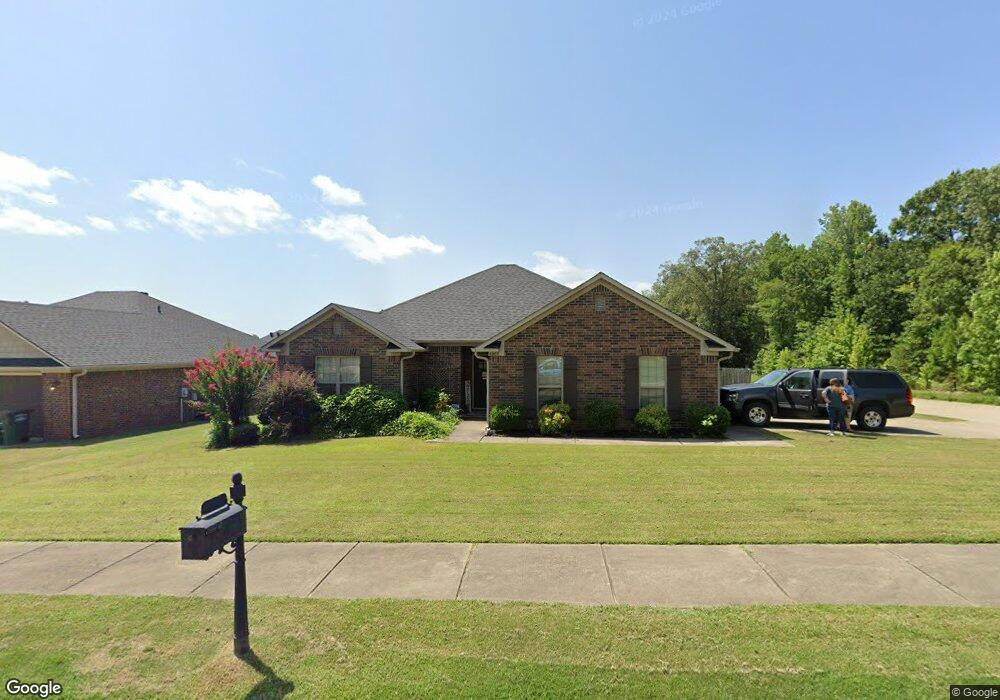
5385 Wilde Dr Conway, AR 72034
Estimated Value: $258,022 - $266,000
--
Bed
--
Bath
1,555
Sq Ft
$168/Sq Ft
Est. Value
About This Home
This home is located at 5385 Wilde Dr, Conway, AR 72034 and is currently estimated at $261,756, approximately $168 per square foot. 5385 Wilde Dr is a home with nearby schools including Woodrow Cummins Elementary School, Ruth Doyle Intermediate School, and Conway Junior High School.
Ownership History
Date
Name
Owned For
Owner Type
Purchase Details
Closed on
Feb 28, 2025
Sold by
Leach Properties Llc
Bought by
Potts William B and Potts Amanda A
Current Estimated Value
Home Financials for this Owner
Home Financials are based on the most recent Mortgage that was taken out on this home.
Original Mortgage
$197,000
Outstanding Balance
$180,263
Interest Rate
7.04%
Mortgage Type
New Conventional
Estimated Equity
$81,493
Purchase Details
Closed on
Dec 7, 2012
Sold by
Hcr Development Llc
Bought by
Leach Properties Llc
Purchase Details
Closed on
Feb 27, 2012
Sold by
Rush & Hal Development Llc
Bought by
Hcr Development Llc
Home Financials for this Owner
Home Financials are based on the most recent Mortgage that was taken out on this home.
Original Mortgage
$138,000
Interest Rate
3.93%
Mortgage Type
Commercial
Create a Home Valuation Report for This Property
The Home Valuation Report is an in-depth analysis detailing your home's value as well as a comparison with similar homes in the area
Home Values in the Area
Average Home Value in this Area
Purchase History
| Date | Buyer | Sale Price | Title Company |
|---|---|---|---|
| Potts William B | $257,000 | Lenders Title Company | |
| Leach Properties Llc | $304,181 | None Available | |
| Hcr Development Llc | $36,000 | None Available |
Source: Public Records
Mortgage History
| Date | Status | Borrower | Loan Amount |
|---|---|---|---|
| Open | Potts William B | $197,000 | |
| Previous Owner | Hcr Development Llc | $138,000 |
Source: Public Records
Tax History Compared to Growth
Tax History
| Year | Tax Paid | Tax Assessment Tax Assessment Total Assessment is a certain percentage of the fair market value that is determined by local assessors to be the total taxable value of land and additions on the property. | Land | Improvement |
|---|---|---|---|---|
| 2024 | $1,927 | $46,360 | $7,200 | $39,160 |
| 2023 | $1,752 | $34,620 | $7,200 | $27,420 |
| 2022 | $1,752 | $34,620 | $7,200 | $27,420 |
| 2021 | $1,705 | $34,620 | $7,200 | $27,420 |
| 2020 | $1,550 | $30,630 | $7,200 | $23,430 |
| 2019 | $1,550 | $30,630 | $7,200 | $23,430 |
| 2018 | $1,550 | $30,630 | $7,200 | $23,430 |
| 2017 | $1,550 | $30,630 | $7,200 | $23,430 |
| 2016 | $1,550 | $30,630 | $7,200 | $23,430 |
| 2015 | $1,534 | $30,320 | $7,200 | $23,120 |
| 2014 | $1,534 | $30,320 | $7,200 | $23,120 |
Source: Public Records
Map
Nearby Homes
- 1105 Georgetown Dr
- 1060 Georgetown Dr
- 1035 Calloway Dr
- 1040 Calloway Dr
- 5645 Tivoli Dr
- 5090 Oakhurst Way
- 1615 Nantucket Dr
- 1360 Champions Dr
- 930 Brownstone Dr
- 1520 Southwinds Dr
- 970 Timber Knoll Dr
- 980 Timber Knoll Dr
- 960 Timber Knoll Dr
- 1645 Nantucket Dr
- 1650 Dolphin Dr
- 1645 Dolphin Dr
- 5920 Brush Creek Loop
- 1655 Dolphin Dr
- 1635 Southwinds Dr
- 760 Bristol Ln