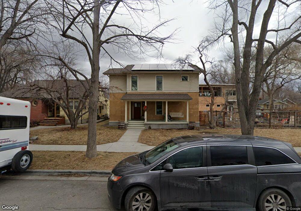
539 Clark Ave Billings, MT 59101
East Central Billings NeighborhoodEstimated Value: $638,000 - $974,498
8
Beds
5
Baths
4,401
Sq Ft
$171/Sq Ft
Est. Value
About This Home
This home is located at 539 Clark Ave, Billings, MT 59101 and is currently estimated at $750,833, approximately $170 per square foot. 539 Clark Ave is a home located in Yellowstone County with nearby schools including Broadwater School, Lewis & Clark Junior High School, and Billings Senior High School.
Ownership History
Date
Name
Owned For
Owner Type
Purchase Details
Closed on
Sep 18, 2013
Sold by
Blanding Keith and Blanding Terese
Bought by
Blanding Nathan and Blanding Kristen
Current Estimated Value
Home Financials for this Owner
Home Financials are based on the most recent Mortgage that was taken out on this home.
Original Mortgage
$215,000
Outstanding Balance
$160,820
Interest Rate
4.46%
Mortgage Type
New Conventional
Estimated Equity
$590,013
Purchase Details
Closed on
May 26, 2011
Sold by
Blanding Keith and Blanding Terese
Bought by
Blanding Keith and Blanding Terese
Purchase Details
Closed on
Oct 27, 2010
Sold by
Spurgin Lelon E and Spurgin Janice
Bought by
Blanding Keith and Blanding Teresa
Create a Home Valuation Report for This Property
The Home Valuation Report is an in-depth analysis detailing your home's value as well as a comparison with similar homes in the area
Home Values in the Area
Average Home Value in this Area
Purchase History
| Date | Buyer | Sale Price | Title Company |
|---|---|---|---|
| Blanding Nathan | -- | None Available | |
| Blanding Keith | -- | None Available | |
| Blanding Keith | -- | St |
Source: Public Records
Mortgage History
| Date | Status | Borrower | Loan Amount |
|---|---|---|---|
| Open | Blanding Nathan | $215,000 |
Source: Public Records
Tax History
| Year | Tax Paid | Tax Assessment Tax Assessment Total Assessment is a certain percentage of the fair market value that is determined by local assessors to be the total taxable value of land and additions on the property. | Land | Improvement |
|---|---|---|---|---|
| 2025 | $9,690 | $1,171,842 | $75,082 | $1,096,760 |
| 2024 | $9,690 | $1,019,948 | $66,888 | $953,060 |
| 2023 | $9,636 | $1,019,948 | $66,888 | $953,060 |
| 2022 | $7,082 | $750,054 | $0 | $0 |
| 2021 | $5,400 | $511,300 | $0 | $0 |
| 2020 | $4,563 | $427,500 | $0 | $0 |
| 2019 | $4,344 | $427,500 | $0 | $0 |
| 2018 | $4,596 | $445,800 | $0 | $0 |
| 2017 | $4,462 | $445,800 | $0 | $0 |
| 2016 | $4,205 | $423,500 | $0 | $0 |
| 2015 | $4,107 | $423,500 | $0 | $0 |
| 2014 | $3,657 | $199,893 | $0 | $0 |
Source: Public Records
Map
Nearby Homes
- 502 Lewis Ave
- 811 7th St W
- 626 Wyoming Ave
- 1114 4th St W
- 402 Burlington Ave
- 732 Yellowstone Ave
- 734 Burlington Ave
- 334 & 334 1/2 Yellowstone Ave
- 514 Custer Ave
- 644 Avenue B
- 1116 8th St W
- 428 Custer Ave
- 801 Broadwater Ave
- 235 Clark Ave
- 704 Terry Ave
- 708 Terry Ave
- 911 2nd St W
- 223 Custer Ave
- 229 Avenue B
- 238 Terry Ave