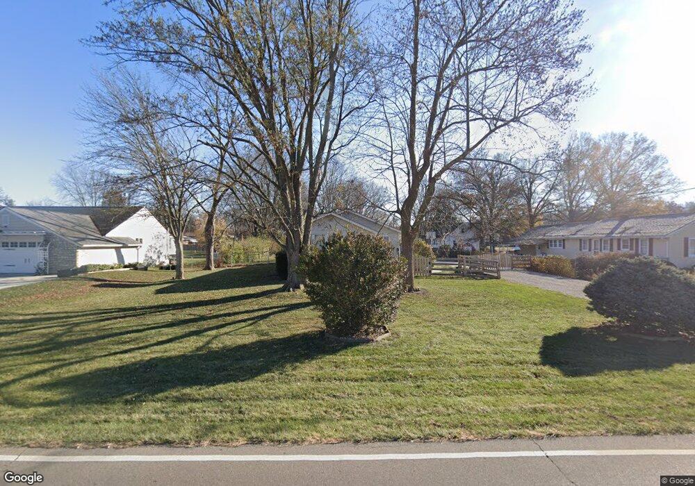
5392 Muskopf Rd Fairfield, OH 45014
Estimated Value: $233,000 - $294,000
3
Beds
1
Bath
1,209
Sq Ft
$211/Sq Ft
Est. Value
About This Home
This home is located at 5392 Muskopf Rd, Fairfield, OH 45014 and is currently estimated at $254,729, approximately $210 per square foot. 5392 Muskopf Rd is a home located in Butler County with nearby schools including Fairfield West Elementary School, Creekside Middle School, and Fairfield Senior High School.
Ownership History
Date
Name
Owned For
Owner Type
Purchase Details
Closed on
Nov 15, 1996
Sold by
Henize Donald W
Bought by
Wright Steven T and Wright Linda
Current Estimated Value
Home Financials for this Owner
Home Financials are based on the most recent Mortgage that was taken out on this home.
Original Mortgage
$89,658
Outstanding Balance
$9,158
Interest Rate
8.5%
Mortgage Type
VA
Estimated Equity
$245,571
Purchase Details
Closed on
Jan 1, 1985
Create a Home Valuation Report for This Property
The Home Valuation Report is an in-depth analysis detailing your home's value as well as a comparison with similar homes in the area
Home Values in the Area
Average Home Value in this Area
Purchase History
| Date | Buyer | Sale Price | Title Company |
|---|---|---|---|
| Wright Steven T | $87,900 | -- | |
| -- | $47,000 | -- |
Source: Public Records
Mortgage History
| Date | Status | Borrower | Loan Amount |
|---|---|---|---|
| Open | Wright Steven T | $89,658 |
Source: Public Records
Tax History Compared to Growth
Tax History
| Year | Tax Paid | Tax Assessment Tax Assessment Total Assessment is a certain percentage of the fair market value that is determined by local assessors to be the total taxable value of land and additions on the property. | Land | Improvement |
|---|---|---|---|---|
| 2024 | $1,620 | $53,460 | $10,150 | $43,310 |
| 2023 | $1,624 | $57,040 | $10,150 | $46,890 |
| 2022 | $1,957 | $41,040 | $10,150 | $30,890 |
| 2021 | $1,696 | $40,430 | $10,150 | $30,280 |
| 2020 | $1,765 | $40,430 | $10,150 | $30,280 |
| 2019 | $2,787 | $32,280 | $10,100 | $22,180 |
| 2018 | $1,601 | $32,280 | $10,100 | $22,180 |
| 2017 | $1,616 | $32,280 | $10,100 | $22,180 |
| 2016 | $1,551 | $29,480 | $10,100 | $19,380 |
| 2015 | $1,476 | $29,480 | $10,100 | $19,380 |
| 2014 | $1,588 | $29,530 | $10,100 | $19,430 |
| 2013 | $1,588 | $33,250 | $10,100 | $23,150 |
Source: Public Records
Map
Nearby Homes
- 5428 Tallawanda Dr
- 5628 Bordeaux Way
- 5360 Burgundy Place
- 6271 River Rd
- 5477 Southgate Blvd
- 1395 Corydale Dr
- 1045 City Center Ln
- 4747 Circle Dr
- 5130 Groh Ln
- 5604 Chateau Way
- 5476 Lakeside Dr
- 5719 Lindenwood Ln
- 5729 Red Oak Dr
- 5315 Charlene Ave
- 5005 River Rd
- 4923 Potomac Dr
- 5912 Fairdale Dr
- 5826 High Point Ct
- 5864 Emerald Lake Dr
- 5015 Southview Dr
- 5378 Muskopf Rd
- 5448 Tomahawk Ave
- 5432 Tomahawk Ave
- 5431 Dellbrook Dr
- 5439 Dellbrook Dr
- 5447 Dellbrook Dr
- 5423 Dellbrook Dr
- 5449 Tomahawk Ave
- 5422 Tomahawk Ave
- 5415 Dellbrook Dr
- 5433 Tomahawk Ave
- 5428 Muskopf Rd
- 5405 Dellbrook Dr
- 5423 Tomahawk Ave
- 5440 Dellbrook Dr
- 5450 Dellbrook Dr
- 5430 Dellbrook Dr
- 5420 Dellbrook Dr
- 5345 Muskopf Rd
- 5413 Tomahawk Ave