54 Megan Ln Laurel, MS 39443
Estimated Value: $75,000 - $135,000
2
Beds
1
Bath
1,040
Sq Ft
$102/Sq Ft
Est. Value
About This Home
This home is located at 54 Megan Ln, Laurel, MS 39443 and is currently estimated at $106,125, approximately $102 per square foot. 54 Megan Ln is a home located in Jones County.
Ownership History
Date
Name
Owned For
Owner Type
Purchase Details
Closed on
Apr 21, 2021
Sold by
Community Bank Of Mississippi
Bought by
Mitchell Eric B and Mitchell Dana Kay
Current Estimated Value
Home Financials for this Owner
Home Financials are based on the most recent Mortgage that was taken out on this home.
Original Mortgage
$91,050
Outstanding Balance
$9,752
Interest Rate
3.1%
Mortgage Type
Purchase Money Mortgage
Estimated Equity
$96,373
Purchase Details
Closed on
Jan 8, 2013
Sold by
Go America Llc
Bought by
Fowler Amber and Fowler Shaun
Purchase Details
Closed on
Jan 16, 2007
Sold by
Bond Cherry Lo
Bought by
Coleman Allen B
Home Financials for this Owner
Home Financials are based on the most recent Mortgage that was taken out on this home.
Original Mortgage
$68,000
Interest Rate
6.07%
Mortgage Type
Purchase Money Mortgage
Create a Home Valuation Report for This Property
The Home Valuation Report is an in-depth analysis detailing your home's value as well as a comparison with similar homes in the area
Home Values in the Area
Average Home Value in this Area
Purchase History
| Date | Buyer | Sale Price | Title Company |
|---|---|---|---|
| Mitchell Eric B | -- | -- | |
| Fowler Amber | $36,000 | -- | |
| Coleman Allen B | -- | -- | |
| Bond Cherry L | -- | -- |
Source: Public Records
Mortgage History
| Date | Status | Borrower | Loan Amount |
|---|---|---|---|
| Open | Mitchell Eric B | $91,050 | |
| Previous Owner | Coleman Allen B | $68,000 |
Source: Public Records
Tax History Compared to Growth
Tax History
| Year | Tax Paid | Tax Assessment Tax Assessment Total Assessment is a certain percentage of the fair market value that is determined by local assessors to be the total taxable value of land and additions on the property. | Land | Improvement |
|---|---|---|---|---|
| 2025 | $858 | $7,244 | $0 | $0 |
| 2024 | $858 | $6,774 | $0 | $0 |
| 2023 | $858 | $6,781 | $0 | $0 |
| 2022 | $879 | $6,787 | $0 | $0 |
| 2021 | $884 | $6,796 | $0 | $0 |
| 2020 | $872 | $6,591 | $0 | $0 |
| 2019 | $874 | $6,580 | $0 | $0 |
| 2018 | $862 | $6,580 | $0 | $0 |
| 2017 | $862 | $6,496 | $0 | $0 |
| 2016 | $1,529 | $5,177 | $0 | $0 |
| 2015 | -- | $7,643 | $0 | $0 |
| 2014 | -- | $5,147 | $0 | $0 |
Source: Public Records
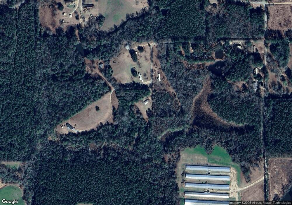
Map
Nearby Homes
- 21 Sunset Hills Rd
- 43.16 Crooked Rd
- 00 N Forrest Road 205
- 0 Strickland Rd
- 7 G Morgan Rd
- 302 Freedom Rd
- 68 Clara Strengthford Rd
- 0 Walt Culpepper Rd
- 81 Mollie Boutwell Rd
- 117 Holifield Rd
- 15 Sellers Cooley Dr
- TBD George Boutwell Rd
- 0 George Boutwell Rd
- 215 Church Dr
- 664 Township Rd
- 160 Betty Sanderson Rd
- 310 Antioch Dr
- 427 Charlie Green Rd
- 73 Pine Dr
- 78 Wesley Stevens Dr