Estimated Value: $436,006 - $543,000
2
Beds
2
Baths
1,896
Sq Ft
$261/Sq Ft
Est. Value
About This Home
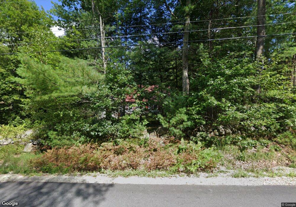
This home is located at 54 N Pembroke Rd, Epsom, NH 03234 and is currently estimated at $495,002, approximately $261 per square foot. 54 N Pembroke Rd is a home located in Merrimack County with nearby schools including Epsom Central School, First Choice for Children, and Tender Years Child Care & Learning Center.
Ownership History
Date
Name
Owned For
Owner Type
Purchase Details
Closed on
Mar 23, 2007
Sold by
Baldini Richard A and Baldini Maureen F
Bought by
Grimaldi Diane E
Current Estimated Value
Home Financials for this Owner
Home Financials are based on the most recent Mortgage that was taken out on this home.
Original Mortgage
$129,000
Interest Rate
6.33%
Mortgage Type
Purchase Money Mortgage
Create a Home Valuation Report for This Property
The Home Valuation Report is an in-depth analysis detailing your home's value as well as a comparison with similar homes in the area
Home Values in the Area
Average Home Value in this Area
Purchase History
| Date | Buyer | Sale Price | Title Company |
|---|---|---|---|
| Grimaldi Diane E | $234,000 | -- |
Source: Public Records
Mortgage History
| Date | Status | Borrower | Loan Amount |
|---|---|---|---|
| Open | Grimaldi Diane E | $133,250 | |
| Closed | Grimaldi Diane E | $129,000 |
Source: Public Records
Tax History Compared to Growth
Tax History
| Year | Tax Paid | Tax Assessment Tax Assessment Total Assessment is a certain percentage of the fair market value that is determined by local assessors to be the total taxable value of land and additions on the property. | Land | Improvement |
|---|---|---|---|---|
| 2024 | $6,628 | $248,800 | $100,600 | $148,200 |
| 2023 | $6,128 | $248,800 | $100,600 | $148,200 |
| 2022 | $5,931 | $248,800 | $100,600 | $148,200 |
| 2021 | $5,882 | $248,800 | $100,600 | $148,200 |
| 2020 | $5,431 | $248,800 | $100,600 | $148,200 |
| 2019 | $5,616 | $207,300 | $83,900 | $123,400 |
| 2018 | $5,384 | $207,300 | $83,900 | $123,400 |
| 2017 | $5,321 | $207,300 | $83,900 | $123,400 |
| 2016 | $5,189 | $207,300 | $83,900 | $123,400 |
| 2015 | $4,938 | $207,300 | $83,900 | $123,400 |
| 2014 | $4,399 | $197,600 | $71,900 | $125,700 |
| 2013 | $4,430 | $196,300 | $71,900 | $124,400 |
Source: Public Records
Map
Nearby Homes
- 0 Poor Town Rd Unit 4
- 370 River Rd
- 9 Princess Ln
- 11 Presidential Dr
- 43 Catamount Hill Dr
- 8 Bush Ave
- 1 Jefferson Ave
- 5 Catamount Hill Dr
- 41 Monroe Ave
- 101 4th Range Rd Unit 4
- 425 Grady Ln Unit 28
- 441 Blane Cir Unit 12
- 452 Blane Cir Unit 45
- 9 Pine Acres Rd
- 401 Sixth Range Rd
- 19 Silver Hill Dr
- 348 Brickett Hill Rd Unit 3
- 611 N Pembroke Rd
- 344 Brickett Hill Rd Unit 2
- 344 Brickett Hill Rd
- 46 N Pembroke Rd
- 59 N Pembroke Rd
- 62 N Pembroke Rd
- 38 N Pembroke Rd
- 78 N Pembroke Rd
- 65 N Pembroke Rd
- 30 N Pembroke Rd
- 43 N Pembroke Rd
- 29 N Pembroke Rd
- 33 N Pembroke Rd
- 51 N Pembroke Rd
- 79 N Pembroke Rd
- 28 N Pembroke Rd
- 23 N Pembroke Rd
- 85 N Pembroke Rd
- 16 N Pembroke Rd
- 96 N Pembroke Rd
- 9 N Pembroke Rd
- 93 N Pembroke Rd