54 Possum Wood Rd Brewster, MA 02631
Estimated Value: $1,106,000 - $1,599,000
4
Beds
3
Baths
3,201
Sq Ft
$420/Sq Ft
Est. Value
About This Home
This home is located at 54 Possum Wood Rd, Brewster, MA 02631 and is currently estimated at $1,343,607, approximately $419 per square foot. 54 Possum Wood Rd is a home located in Barnstable County with nearby schools including Stony Brook Elementary School, Eddy Elementary School, and Nauset Regional Middle School.
Ownership History
Date
Name
Owned For
Owner Type
Purchase Details
Closed on
Nov 4, 1998
Sold by
Possum Wood Rt and Klein Peter L
Bought by
Crosby Ln Rt and Cardarelli Evelyn S
Current Estimated Value
Home Financials for this Owner
Home Financials are based on the most recent Mortgage that was taken out on this home.
Original Mortgage
$175,000
Outstanding Balance
$38,366
Interest Rate
6.64%
Mortgage Type
Purchase Money Mortgage
Estimated Equity
$1,305,241
Create a Home Valuation Report for This Property
The Home Valuation Report is an in-depth analysis detailing your home's value as well as a comparison with similar homes in the area
Home Values in the Area
Average Home Value in this Area
Purchase History
| Date | Buyer | Sale Price | Title Company |
|---|---|---|---|
| Crosby Ln Rt | $87,000 | -- |
Source: Public Records
Mortgage History
| Date | Status | Borrower | Loan Amount |
|---|---|---|---|
| Open | Crosby Ln Rt | $175,000 |
Source: Public Records
Tax History Compared to Growth
Tax History
| Year | Tax Paid | Tax Assessment Tax Assessment Total Assessment is a certain percentage of the fair market value that is determined by local assessors to be the total taxable value of land and additions on the property. | Land | Improvement |
|---|---|---|---|---|
| 2025 | $9,774 | $1,420,600 | $372,900 | $1,047,700 |
| 2024 | $9,142 | $1,342,500 | $351,800 | $990,700 |
| 2023 | $8,470 | $1,211,700 | $314,100 | $897,600 |
| 2022 | $8,150 | $1,038,200 | $284,400 | $753,800 |
| 2021 | $7,852 | $915,200 | $247,200 | $668,000 |
| 2020 | $7,580 | $879,300 | $247,200 | $632,100 |
| 2019 | $7,337 | $855,100 | $238,400 | $616,700 |
| 2018 | $6,875 | $832,300 | $238,400 | $593,900 |
| 2017 | $6,772 | $807,200 | $238,400 | $568,800 |
| 2016 | $6,473 | $767,900 | $233,800 | $534,100 |
| 2015 | $6,247 | $756,300 | $229,300 | $527,000 |
Source: Public Records
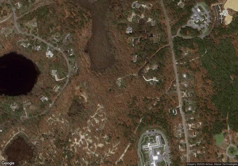
Map
Nearby Homes
- 30 Fox Crossing Rd
- 602 Tubman Rd
- 41 Great Oak Rd
- 597 Great Fields Rd
- 728 Great Fields Rd
- 9 Park Ln
- 21 Nancys Way
- 1424 Main St
- 55 Carlton Cir
- 1580 Main St
- 663 Crowells Bog Rd
- 242 Sheep Pond Dr
- 272 Sheep Pond Dr
- 1861 Main St
- 33 Captain William Arthur Rd
- 43 Billington Ln Unit 43
- 43 Billington Ln
- 26 Newport Rd
- 236 Yankee Dr
- 958 Long Pond Rd
- 7 Fox Crossing Rd
- 53 Possum Wood Rd
- 175 Griffiths Pond Rd
- 23 Fox Crossing Rd
- 33 Possum Wood Rd
- 0 Possum Wood Rd
- 8 Possum Wood Rd
- 17 Fox Crossing Rd
- 19 Fox Crossing Rd
- 0 Fox Crossing Rd
- 163 Griffiths Pond Rd
- 190 Griffith's Pond Rd
- 35 Fox Crossing Rd
- 155 Griffiths Pond Rd
- 190 Griffiths Pond Rd
- 210 Griffiths Pond Rd
- 53 Fox Crossing Rd
- 716 Harwich Rd
- 143 Griffiths Pond Rd
- 148 Griffiths Pond Rd