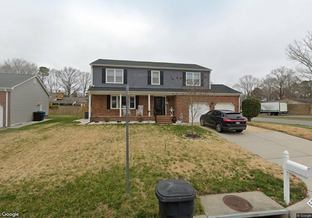
5400 Angus Dr Virginia Beach, VA 23464
Brigadoon NeighborhoodEstimated Value: $481,000 - $502,252
4
Beds
3
Baths
2,218
Sq Ft
$221/Sq Ft
Est. Value
About This Home
This home is located at 5400 Angus Dr, Virginia Beach, VA 23464 and is currently estimated at $490,313, approximately $221 per square foot. 5400 Angus Dr is a home located in Virginia Beach City with nearby schools including Centerville Elementary, Brandon Middle School, and Tallwood High School.
Ownership History
Date
Name
Owned For
Owner Type
Purchase Details
Closed on
Aug 8, 2018
Sold by
Dapson Richard S and Dapson Sharon A
Bought by
Maccarelli Franciso and Maccarelli Jenny C
Current Estimated Value
Home Financials for this Owner
Home Financials are based on the most recent Mortgage that was taken out on this home.
Original Mortgage
$289,777
Interest Rate
4.5%
Mortgage Type
VA
Purchase Details
Closed on
Mar 6, 2008
Sold by
Mackey Christine Tara
Bought by
Dapson Richard S
Home Financials for this Owner
Home Financials are based on the most recent Mortgage that was taken out on this home.
Original Mortgage
$326,369
Interest Rate
5.57%
Mortgage Type
VA
Purchase Details
Closed on
Jan 27, 2006
Sold by
Mccarthy Karen
Bought by
Mackey Christine
Home Financials for this Owner
Home Financials are based on the most recent Mortgage that was taken out on this home.
Original Mortgage
$289,000
Interest Rate
6.34%
Mortgage Type
New Conventional
Create a Home Valuation Report for This Property
The Home Valuation Report is an in-depth analysis detailing your home's value as well as a comparison with similar homes in the area
Home Values in the Area
Average Home Value in this Area
Purchase History
| Date | Buyer | Sale Price | Title Company |
|---|---|---|---|
| Maccarelli Franciso | $318,000 | Multiple | |
| Dapson Richard S | $308,570 | -- | |
| Mackey Christine | $289,000 | -- |
Source: Public Records
Mortgage History
| Date | Status | Borrower | Loan Amount |
|---|---|---|---|
| Previous Owner | Maccarelli Franciso | $289,777 | |
| Previous Owner | Dapson Richard S | $326,369 | |
| Previous Owner | Mackey Christine | $289,000 |
Source: Public Records
Tax History Compared to Growth
Tax History
| Year | Tax Paid | Tax Assessment Tax Assessment Total Assessment is a certain percentage of the fair market value that is determined by local assessors to be the total taxable value of land and additions on the property. | Land | Improvement |
|---|---|---|---|---|
| 2025 | $3,936 | $434,100 | $149,600 | $284,500 |
| 2024 | $3,936 | $405,800 | $142,500 | $263,300 |
| 2023 | $3,829 | $386,800 | $123,500 | $263,300 |
| 2022 | $3,562 | $359,800 | $114,000 | $245,800 |
| 2021 | $3,371 | $340,500 | $98,800 | $241,700 |
| 2020 | $3,191 | $313,600 | $88,400 | $225,200 |
| 2019 | $3,227 | $282,100 | $83,600 | $198,500 |
| 2018 | $2,828 | $282,100 | $83,600 | $198,500 |
| 2017 | $2,754 | $274,700 | $83,600 | $191,100 |
| 2016 | $2,720 | $274,700 | $83,600 | $191,100 |
| 2015 | $2,807 | $283,500 | $87,800 | $195,700 |
| 2014 | $2,266 | $257,200 | $101,300 | $155,900 |
Source: Public Records
Map
Nearby Homes
- 5204 Brockie St
- 1652 Ashton Dr
- 5217 Brockie St
- 1632 Black Watch Ln
- 2165 Bizzone Cir
- 900 Whitbeck Ct
- 900 Murphy Ln
- 1721 Dancers Ct
- 909 Daniel Maloney Dr
- 5441 Brookfield Dr
- 5545 MacGuffie St
- 1969 Lisa Ct
- 912 Dallas Ct
- 5593 Stonehaven Dr
- 957 Avery Way
- 1713 Zimmerman Ct
- 1716 Chilhowie Cir
- 1012 Fairborn Ct
- 1916 Vince Rd
- 2008 Gassett Ct
- 5404 Angus Dr
- 5401 Etheridge Ct
- 5405 Etheridge Ct
- 5401 Angus Dr
- 5408 Angus Dr
- 5409 Etheridge Ct
- 5405 Angus Dr
- 5396 Angus Dr
- 5309 Etheridge Cir
- 5413 Etheridge Ct
- 5412 Angus Dr
- 5397 Angus Dr
- 5400 Sidney Cir
- 5409 Angus Dr
- 5400 Etheridge Ct
- 5404 Etheridge Ct
- 5305 Etheridge Cir
- 5392 Angus Dr
- 5408 Etheridge Ct
- 5312 Etheridge Cir