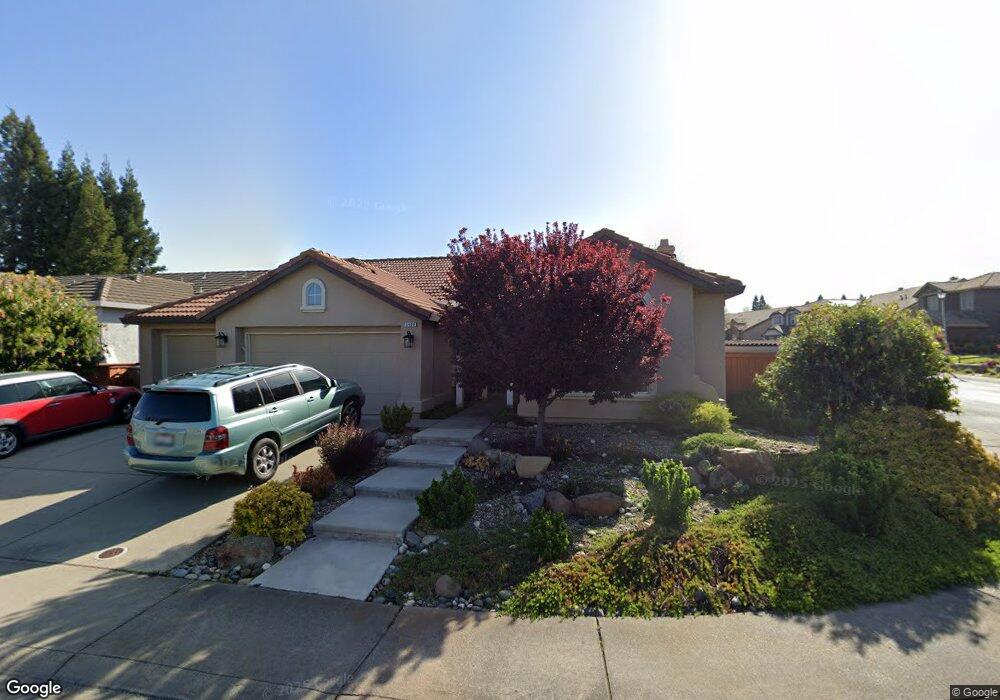
5400 Evan Ct Rocklin, CA 95765
Stanford Ranch NeighborhoodEstimated Value: $651,000 - $696,000
4
Beds
2
Baths
2,029
Sq Ft
$334/Sq Ft
Est. Value
About This Home
This home is located at 5400 Evan Ct, Rocklin, CA 95765 and is currently estimated at $677,961, approximately $334 per square foot. 5400 Evan Ct is a home located in Placer County with nearby schools including Twin Oaks Elementary, Granite Oaks Middle, and Rocklin High.
Ownership History
Date
Name
Owned For
Owner Type
Purchase Details
Closed on
Jun 4, 2020
Sold by
Long Jennifer L and Moehring Dorothy A
Bought by
Long Jennifer L
Current Estimated Value
Purchase Details
Closed on
Dec 16, 2004
Sold by
Moehring Dorothy A
Bought by
Moehring Dorothy A
Purchase Details
Closed on
Jan 18, 2000
Sold by
John Mourier Construction Inc
Bought by
Moehring Richard R
Create a Home Valuation Report for This Property
The Home Valuation Report is an in-depth analysis detailing your home's value as well as a comparison with similar homes in the area
Home Values in the Area
Average Home Value in this Area
Purchase History
| Date | Buyer | Sale Price | Title Company |
|---|---|---|---|
| Long Jennifer L | -- | None Available | |
| Moehring Dorothy A | -- | -- | |
| Moehring Richard R | $220,000 | Old Republic Title Company |
Source: Public Records
Tax History
| Year | Tax Paid | Tax Assessment Tax Assessment Total Assessment is a certain percentage of the fair market value that is determined by local assessors to be the total taxable value of land and additions on the property. | Land | Improvement |
|---|---|---|---|---|
| 2025 | $5,764 | $519,475 | $147,639 | $371,836 |
| 2023 | $5,764 | $499,306 | $141,907 | $357,399 |
| 2022 | $5,582 | $489,517 | $139,125 | $350,392 |
| 2021 | $6,584 | $479,920 | $136,398 | $343,522 |
| 2020 | $6,546 | $475,000 | $135,000 | $340,000 |
| 2019 | $4,660 | $307,277 | $121,240 | $186,037 |
| 2018 | $5,017 | $301,253 | $118,863 | $182,390 |
| 2017 | $5,021 | $295,347 | $116,533 | $178,814 |
| 2016 | $4,890 | $289,557 | $114,249 | $175,308 |
| 2015 | $4,844 | $285,208 | $112,533 | $172,675 |
| 2014 | $4,822 | $279,622 | $110,329 | $169,293 |
Source: Public Records
Map
Nearby Homes
- 1701 Poppy Dr
- 1685 Iroquois Rd
- 1214 Regina St
- 1112 Sedona St
- 962 Browning Ln
- 2408 Galloping Trail Ct
- 965 Browning Ln
- 1816 Talon Rd
- 2057 Archer Cir
- 2501 Mossy Oak Ct
- 2518 Cowboy Ct
- 1402 Skibbereen Way
- 5401 Rock Field Ct
- 2024 Archer Cir
- 864 Spotted Pony Ln
- 935 Campfire Cir
- 946 Campfire Cir
- 2196 Red Setter Rd
- 1508 Syracuse Dr
- 1620 Viburnum Ln
Your Personal Tour Guide
Ask me questions while you tour the home.