5401 Memorial Ln Greensboro, NC 27407
Grandover NeighborhoodEstimated Value: $382,000 - $566,000
4
Beds
3
Baths
1,969
Sq Ft
$232/Sq Ft
Est. Value
About This Home
This home is located at 5401 Memorial Ln, Greensboro, NC 27407 and is currently estimated at $457,096, approximately $232 per square foot. 5401 Memorial Ln is a home located in Guilford County with nearby schools including Millis Road Elementary School, Jamestown Middle School, and Ragsdale High School.
Ownership History
Date
Name
Owned For
Owner Type
Purchase Details
Closed on
Mar 31, 2003
Sold by
Steede Robert W and Steede Janice E
Bought by
Mcdavid Dianne H
Current Estimated Value
Home Financials for this Owner
Home Financials are based on the most recent Mortgage that was taken out on this home.
Original Mortgage
$158,900
Outstanding Balance
$62,171
Interest Rate
5.86%
Mortgage Type
Purchase Money Mortgage
Estimated Equity
$394,925
Purchase Details
Closed on
May 15, 2002
Sold by
Steede Robert W and Steede Janice E
Bought by
Mcdavid Dianne
Home Financials for this Owner
Home Financials are based on the most recent Mortgage that was taken out on this home.
Original Mortgage
$158,900
Interest Rate
7.12%
Create a Home Valuation Report for This Property
The Home Valuation Report is an in-depth analysis detailing your home's value as well as a comparison with similar homes in the area
Home Values in the Area
Average Home Value in this Area
Purchase History
| Date | Buyer | Sale Price | Title Company |
|---|---|---|---|
| Mcdavid Dianne H | -- | -- | |
| Mcdavid Dianne | $208,000 | -- |
Source: Public Records
Mortgage History
| Date | Status | Borrower | Loan Amount |
|---|---|---|---|
| Open | Mcdavid Dianne H | $158,900 | |
| Previous Owner | Mcdavid Dianne | $158,900 |
Source: Public Records
Tax History Compared to Growth
Tax History
| Year | Tax Paid | Tax Assessment Tax Assessment Total Assessment is a certain percentage of the fair market value that is determined by local assessors to be the total taxable value of land and additions on the property. | Land | Improvement |
|---|---|---|---|---|
| 2025 | $1,115 | $247,800 | $66,000 | $181,800 |
| 2024 | $1,115 | $247,800 | $66,000 | $181,800 |
| 2023 | $1,115 | $247,800 | $66,000 | $181,800 |
| 2022 | $2,150 | $247,800 | $66,000 | $181,800 |
| 2021 | $1,932 | $222,600 | $75,200 | $147,400 |
| 2020 | $1,932 | $222,600 | $75,200 | $147,400 |
| 2019 | $1,893 | $222,600 | $0 | $0 |
| 2018 | $1,884 | $222,600 | $0 | $0 |
| 2017 | $1,893 | $222,600 | $0 | $0 |
| 2016 | $1,665 | $192,900 | $0 | $0 |
| 2015 | $1,674 | $192,900 | $0 | $0 |
| 2014 | $1,694 | $192,900 | $0 | $0 |
Source: Public Records
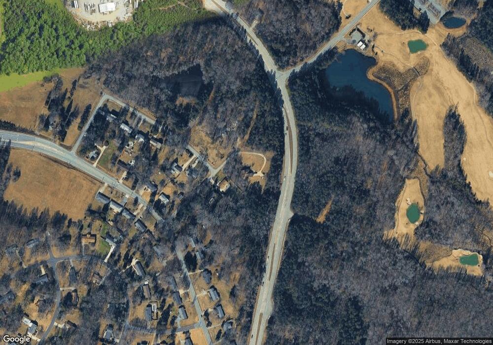
Map
Nearby Homes
- 4500 Pemberton Rd
- 5180 Whaitley Ln
- 4904 Postbridge Dr
- 4603 Vickrey Chapel Rd N
- 4117 Tansley Ct
- 4115 Tansley Ct
- 4900 Postbridge Dr
- 4507 Trailwood Dr
- 4113 Tansley Ct
- 4111 Tansley Ct
- 4101 Tansley Ct
- 4110 Tansley Ct
- 5509 Fallingbrooks Dr
- 4103 Dunley Ct
- 5104 Postbridge Dr
- 4105 Dunley Ct
- 4100 Dunley Ct
- 4102 Dunley Ct
- 7 Hadley Park Ct
- 4709 Clifton Park Dr
- 5415 Memorial Ln
- 5417 Memorial Ln
- 5400 Memorial Ln
- 4712 Hollister Dr
- 4710 Hollister Dr
- 4803 Vickrey Chapel Rd N
- 4711 Vickrey Chapel Rd N
- 4805 Vickrey Chapel Rd N
- 4709 Hollister Dr
- 4709 Vickrey Chapel Rd N
- 4706 Hollister Dr
- 4807 Vickrey Chapel Rd N
- 4707 Vickrey Chapel Rd N
- 4704 Hollister Dr
- 4800 Vickrey Chapel Rd N
- 4802 Vickrey Chapel Rd N
- 4712 Vickrey Chapel Rd N
- 4809 Vickrey Chapel Rd N
- 4705 Vickrey Chapel Rd N
- 4710 Vickrey Chapel Rd N