5403 Cornell Ct Unit 25 Warren, MI 48091
Southwest Warren NeighborhoodEstimated Value: $172,996 - $185,000
2
Beds
2
Baths
1,072
Sq Ft
$167/Sq Ft
Est. Value
About This Home
This home is located at 5403 Cornell Ct Unit 25, Warren, MI 48091 and is currently estimated at $179,499, approximately $167 per square foot. 5403 Cornell Ct Unit 25 is a home located in Macomb County with nearby schools including Mark C. Roose Elementary School, Wolfe Middle School, and Center Line High School.
Ownership History
Date
Name
Owned For
Owner Type
Purchase Details
Closed on
Jan 29, 2009
Sold by
The Estate Of Mary L Moore and Moore Michael
Bought by
Yumul Pola O
Current Estimated Value
Purchase Details
Closed on
May 8, 1995
Sold by
Davis Jeff
Bought by
Moore Glen and Moore Mary L
Home Financials for this Owner
Home Financials are based on the most recent Mortgage that was taken out on this home.
Original Mortgage
$36,000
Interest Rate
8.39%
Mortgage Type
New Conventional
Create a Home Valuation Report for This Property
The Home Valuation Report is an in-depth analysis detailing your home's value as well as a comparison with similar homes in the area
Home Values in the Area
Average Home Value in this Area
Purchase History
| Date | Buyer | Sale Price | Title Company |
|---|---|---|---|
| Yumul Pola O | $68,000 | Capital Title Ins Agency | |
| Moore Glen | $84,000 | -- |
Source: Public Records
Mortgage History
| Date | Status | Borrower | Loan Amount |
|---|---|---|---|
| Previous Owner | Moore Glen | $36,000 |
Source: Public Records
Tax History Compared to Growth
Tax History
| Year | Tax Paid | Tax Assessment Tax Assessment Total Assessment is a certain percentage of the fair market value that is determined by local assessors to be the total taxable value of land and additions on the property. | Land | Improvement |
|---|---|---|---|---|
| 2025 | $2,010 | $78,930 | $0 | $0 |
| 2024 | $1,962 | $78,150 | $0 | $0 |
| 2023 | $1,899 | $65,440 | $0 | $0 |
| 2022 | $1,835 | $58,070 | $0 | $0 |
| 2021 | $1,867 | $55,470 | $0 | $0 |
| 2020 | $1,820 | $48,860 | $0 | $0 |
| 2019 | $1,786 | $39,440 | $0 | $0 |
| 2018 | $41 | $35,480 | $0 | $0 |
| 2017 | $1,637 | $35,080 | $3,500 | $31,580 |
| 2016 | $1,624 | $35,080 | $0 | $0 |
| 2015 | -- | $32,370 | $0 | $0 |
| 2012 | -- | $25,790 | $0 | $0 |
Source: Public Records
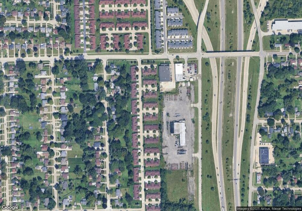
Map
Nearby Homes
- 5419 Duke Ct Unit 42
- 5434 Bowden Ct
- 26116 Albert J Dr
- 25755 Patricia Ave
- 25601 Peter Kaltz Rd
- 25046 Joanne Smith Dr Unit 134, Bldg
- 25838 Masch Ave
- 25744 Masch Ave
- 4952 Bernice Ave
- 4867 Shell Ct
- 26652 Hill Ave
- 4973 E 10 Mile Rd Unit 8
- 4949 E 10 Mile Rd
- 4925 E 10 Mile Rd Unit 4
- 25729 Loretta Ave
- 26532 Crystal Ave
- 24749 Panama Ave
- 26193 Merideth Dr
- 24756 Hill Ave
- 24755 Hill Ave
- 5415 Cornell Ct
- 5457 Cornell Ct Unit 27
- 5459 Cornell Ct Unit 28
- 5458 Cornell Ct Unit 30
- 5404 Cornell Ct Unit 8, 32
- 5404 Cornell Ct Unit 32
- 5416 Cornell Ct
- 5460 Cornell Ct
- 5460 Cornell Ct Unit 29
- 5416 Cornell Ct Unit 31
- 5466 Clemson Ct
- 5424 Clemson Ct
- 5410 Clemson Ct
- 5402 Clemson Ct
- 5410 Clemson Ct Unit 18
- 5466 Clemson Ct Unit 20
- 25819 Joanne Smith Dr
- 25825 Joanne Smith Dr Unit 23
- 25831 Joanne Smith Dr Unit 22
- 25837 Joanne Smith Dr Unit 21