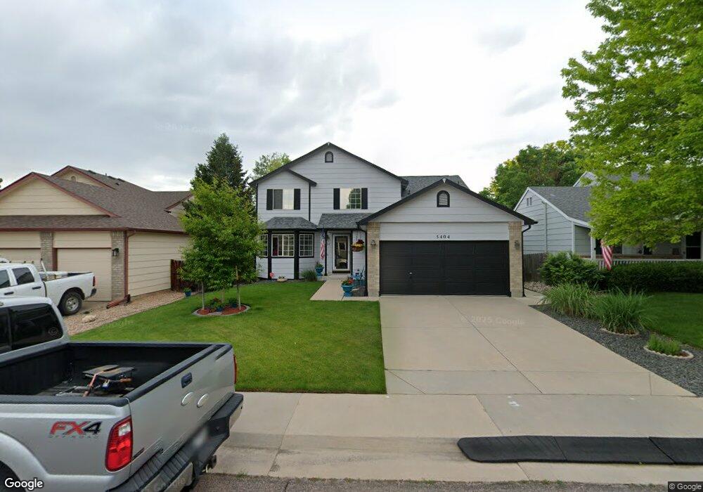
5404 S Robb Way Littleton, CO 80127
Sunrise Creek NeighborhoodEstimated Value: $583,324 - $644,000
3
Beds
5
Baths
1,531
Sq Ft
$403/Sq Ft
Est. Value
About This Home
This home is located at 5404 S Robb Way, Littleton, CO 80127 and is currently estimated at $617,081, approximately $403 per square foot. 5404 S Robb Way is a home located in Jefferson County with nearby schools including Westridge Elementary School, Summit Ridge Middle School, and Dakota Ridge Senior High School.
Ownership History
Date
Name
Owned For
Owner Type
Purchase Details
Closed on
Jul 24, 1998
Sold by
Brown Michael W
Bought by
Hall Doris J
Current Estimated Value
Home Financials for this Owner
Home Financials are based on the most recent Mortgage that was taken out on this home.
Original Mortgage
$53,000
Interest Rate
3.95%
Purchase Details
Closed on
Jun 30, 1998
Sold by
Melody Homes Inc
Bought by
Riley Scott R and Riley Terry L
Home Financials for this Owner
Home Financials are based on the most recent Mortgage that was taken out on this home.
Original Mortgage
$53,000
Interest Rate
3.95%
Create a Home Valuation Report for This Property
The Home Valuation Report is an in-depth analysis detailing your home's value as well as a comparison with similar homes in the area
Home Values in the Area
Average Home Value in this Area
Purchase History
| Date | Buyer | Sale Price | Title Company |
|---|---|---|---|
| Hall Doris J | $153,705 | Land Title | |
| Hall Doris J | $153,705 | Land Title | |
| Riley Scott R | $146,098 | Land Title | |
| Brown Michael W | $146,098 | Land Title |
Source: Public Records
Mortgage History
| Date | Status | Borrower | Loan Amount |
|---|---|---|---|
| Previous Owner | Hall Doris J | $53,000 | |
| Previous Owner | Brown Michael W | $116,900 |
Source: Public Records
Tax History Compared to Growth
Tax History
| Year | Tax Paid | Tax Assessment Tax Assessment Total Assessment is a certain percentage of the fair market value that is determined by local assessors to be the total taxable value of land and additions on the property. | Land | Improvement |
|---|---|---|---|---|
| 2024 | $2,739 | $34,670 | $9,443 | $25,227 |
| 2023 | $2,739 | $34,670 | $9,443 | $25,227 |
| 2022 | $2,321 | $30,217 | $9,382 | $20,835 |
| 2021 | $2,351 | $31,086 | $9,652 | $21,434 |
| 2020 | $1,970 | $27,254 | $7,631 | $19,623 |
| 2019 | $1,945 | $27,254 | $7,631 | $19,623 |
| 2018 | $1,794 | $25,108 | $7,280 | $17,828 |
| 2017 | $1,638 | $25,108 | $7,280 | $17,828 |
| 2016 | $1,656 | $25,436 | $7,860 | $17,576 |
| 2015 | $2,054 | $25,436 | $7,860 | $17,576 |
| 2014 | $2,054 | $20,327 | $6,190 | $14,137 |
Source: Public Records
Map
Nearby Homes
- 11152 W Crestline Dr
- 11278 W Progress Ave
- 11962 W Long Cir Unit 103
- 11972 W Long Cir Unit 104
- 11424 W Belleview Dr
- 11963 W Long Cir Unit 101
- 5657 S Oak St
- 12254 W Arlington Ave
- 5667 S Urban St Unit 304
- 5026 S Robb St
- 5321 S Nelson St
- 12233 W Cross Dr Unit 307
- 5013 S Queen Ct
- 10815 W Alamo Place
- 12158 W Dorado Place Unit 205
- 5790 S Parfet St
- 12208 W Dorado Place Unit 306
- 5813 S Taft Way
- 12304 W Cross Dr Unit 304
- 12288 W Dorado Place Unit 301
- 5414 S Robb Way
- 5394 S Robb Way
- 5424 S Robb Way
- 5413 S Queen Way
- 5403 S Queen Way
- 5423 S Queen Way
- 5393 S Queen Way
- 5405 S Robb Way
- 5434 S Robb Way
- 5415 S Robb Way
- 5395 S Robb Way
- 5433 S Queen Way
- 5425 S Robb Way
- 5435 S Robb Way
- 11455 W Crestline Dr
- 11449 W Aqueduct Dr
- 11429 W Aqueduct Dr
- 5376 S Routt Way
- 5412 S Queen Way
- 11409 W Aqueduct Dr