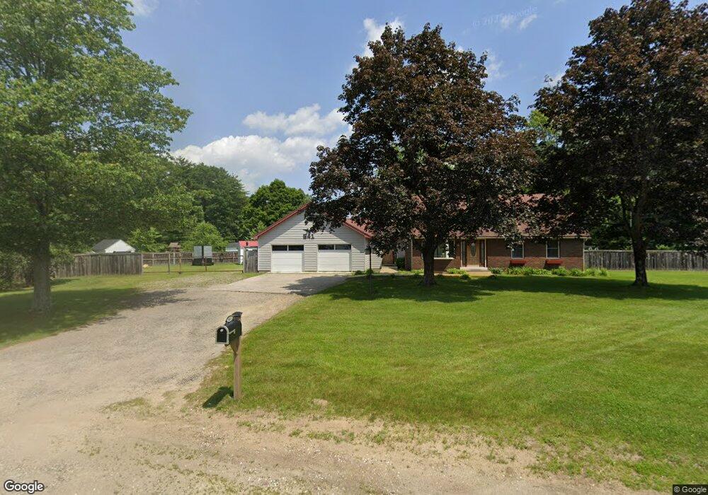
541 Charles Bancroft Hwy Litchfield, NH 03052
Estimated Value: $567,639 - $608,000
2
Beds
2
Baths
1,936
Sq Ft
$303/Sq Ft
Est. Value
About This Home
This home is located at 541 Charles Bancroft Hwy, Litchfield, NH 03052 and is currently estimated at $586,910, approximately $303 per square foot. 541 Charles Bancroft Hwy is a home located in Hillsborough County with nearby schools including Griffin Memorial School and St. Francis of Assisi School.
Ownership History
Date
Name
Owned For
Owner Type
Purchase Details
Closed on
Jul 25, 2016
Sold by
Posey Investments Llc
Bought by
Jensen Michael R
Current Estimated Value
Home Financials for this Owner
Home Financials are based on the most recent Mortgage that was taken out on this home.
Original Mortgage
$267,352
Outstanding Balance
$214,138
Interest Rate
3.6%
Mortgage Type
Purchase Money Mortgage
Estimated Equity
$372,772
Purchase Details
Closed on
Feb 25, 2016
Sold by
Phanuef Robert P and Phaneuf Suzanne R
Bought by
Posey Investments Llc
Create a Home Valuation Report for This Property
The Home Valuation Report is an in-depth analysis detailing your home's value as well as a comparison with similar homes in the area
Home Values in the Area
Average Home Value in this Area
Purchase History
| Date | Buyer | Sale Price | Title Company |
|---|---|---|---|
| Jensen Michael R | $260,000 | -- | |
| Posey Investments Llc | $175,000 | -- |
Source: Public Records
Mortgage History
| Date | Status | Borrower | Loan Amount |
|---|---|---|---|
| Open | Jensen Michael R | $267,352 |
Source: Public Records
Tax History Compared to Growth
Tax History
| Year | Tax Paid | Tax Assessment Tax Assessment Total Assessment is a certain percentage of the fair market value that is determined by local assessors to be the total taxable value of land and additions on the property. | Land | Improvement |
|---|---|---|---|---|
| 2024 | $7,508 | $361,300 | $145,600 | $215,700 |
| 2023 | $7,566 | $361,300 | $145,600 | $215,700 |
| 2022 | $6,792 | $356,900 | $145,600 | $211,300 |
| 2021 | $6,581 | $356,900 | $145,600 | $211,300 |
| 2020 | $6,631 | $356,900 | $145,600 | $211,300 |
| 2019 | $6,913 | $292,300 | $117,100 | $175,200 |
| 2017 | $6,380 | $283,700 | $117,100 | $166,600 |
| 2016 | $6,221 | $288,000 | $121,400 | $166,600 |
| 2015 | $5,869 | $288,000 | $121,400 | $166,600 |
| 2014 | $5,802 | $280,300 | $120,800 | $159,500 |
| 2013 | $5,768 | $280,400 | $120,800 | $159,600 |
Source: Public Records
Map
Nearby Homes
- 3-C Mustang Dr Unit MODEL
- 9 Mustang Dr Unit C
- 9 Mustang Dr Unit B
- 7 Mustang Dr Unit C
- 7 Mustang Dr Unit END UNIT-A
- 29 Watts Landing Unit 24
- 15 Tamarack Ct
- 490 Charles Bancroft Hwy
- 67 Pullman St
- 22 Kimberly Dr
- 4543 Brown Ave
- 8 Iroquois Cir
- 4481 Brown Ave
- 769 Daniel Webster Hwy
- 25 Chatfield Dr
- 4243 Brown Ave
- 29 Bedford Rd
- 31 Garden Dr
- 1 Pleasant St
- 1 Tallarico St Unit 14
- 4 Corning Rd
- 545 Charles Bancroft Hwy
- 540 Charles Bancroft Hwy Unit 4Belg
- 540 Charles Bancroft Hwy
- 5-D END UNIT Mustang Dr Unit D
- 3-D END UNIT Mustang Dr Unit D
- 5 Corning Rd
- 5-A END UNIT Mustang Dr Unit A
- 6 Corning Rd
- 547 Charles Bancroft Hwy
- 537 Charles Bancroft Hwy
- 549 Charles Bancroft Hwy
- 7 Corning Rd
- 8 Corning Rd
- 14 Forest Ln
- 535 Charles Bancroft Hwy
- 27 Woodland Dr
- 15 Forest Ln
- 1 Temple Dr
- 12 Forest Ln