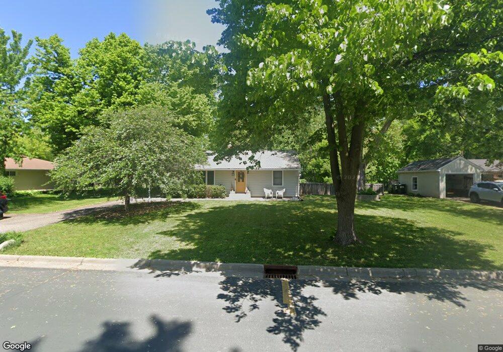
541 Miriam St Saint Paul, MN 55118
Estimated Value: $341,000 - $367,715
3
Beds
1
Bath
1,539
Sq Ft
$230/Sq Ft
Est. Value
About This Home
This home is located at 541 Miriam St, Saint Paul, MN 55118 and is currently estimated at $354,179, approximately $230 per square foot. 541 Miriam St is a home located in Dakota County with nearby schools including Somerset Elementary School, Heritage E-STEM Magnet School, and Two Rivers High School.
Ownership History
Date
Name
Owned For
Owner Type
Purchase Details
Closed on
Apr 11, 2019
Sold by
Graham Elizabeth and Graham Timothy E
Bought by
Diercks Michael
Current Estimated Value
Home Financials for this Owner
Home Financials are based on the most recent Mortgage that was taken out on this home.
Original Mortgage
$225,525
Outstanding Balance
$198,676
Interest Rate
4.4%
Mortgage Type
New Conventional
Estimated Equity
$155,503
Purchase Details
Closed on
Jan 21, 2014
Sold by
Ward Audrey
Bought by
Ward Audrey and Graham Elizabeth
Create a Home Valuation Report for This Property
The Home Valuation Report is an in-depth analysis detailing your home's value as well as a comparison with similar homes in the area
Home Values in the Area
Average Home Value in this Area
Purchase History
| Date | Buyer | Sale Price | Title Company |
|---|---|---|---|
| Diercks Michael | $232,500 | Burnet Title | |
| Ward Audrey | -- | None Available |
Source: Public Records
Mortgage History
| Date | Status | Borrower | Loan Amount |
|---|---|---|---|
| Open | Diercks Michael | $225,525 |
Source: Public Records
Tax History Compared to Growth
Tax History
| Year | Tax Paid | Tax Assessment Tax Assessment Total Assessment is a certain percentage of the fair market value that is determined by local assessors to be the total taxable value of land and additions on the property. | Land | Improvement |
|---|---|---|---|---|
| 2024 | $3,510 | $382,200 | $107,100 | $275,100 |
| 2023 | $3,510 | $379,900 | $104,700 | $275,200 |
| 2022 | $2,922 | $355,600 | $104,400 | $251,200 |
| 2021 | $2,786 | $301,000 | $90,800 | $210,200 |
| 2020 | $2,806 | $284,800 | $86,500 | $198,300 |
| 2019 | $3,696 | $277,100 | $82,400 | $194,700 |
| 2018 | $3,534 | $254,500 | $77,000 | $177,500 |
| 2017 | $3,480 | $251,000 | $73,300 | $177,700 |
| 2016 | $3,513 | $238,900 | $69,800 | $169,100 |
| 2015 | $3,397 | $226,867 | $65,354 | $161,513 |
| 2014 | -- | $207,247 | $60,890 | $146,357 |
| 2013 | -- | $197,873 | $58,619 | $139,254 |
Source: Public Records
Map
Nearby Homes
- 1000 Winston Cir
- 606 Sutcliff Cir
- 967 Cherokee Ave
- 641 Sibley Memorial Hwy
- 801 Cherokee Ave
- 822 Smith Ave S
- 750 Delaware Ave
- 1164 Dodd Rd
- 1174 Dodd Rd
- 1172 Ottawa Ave
- 625 Ivy Falls Ave
- 8 Dorset Rd
- 242 Annapolis St W
- 679 Maple Park Dr
- 1211 Galvin Ave
- 663 Smith Ave S
- 259 Curtice St W
- 672 Ivy Falls Ct
- 648 Sunset Ln
- 206 Winona St W