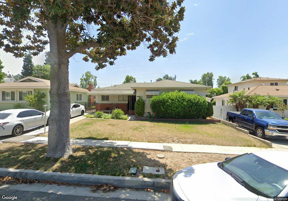
5418 Mavis Ave Whittier, CA 90601
West Whittier NeighborhoodEstimated Value: $898,000 - $963,000
4
Beds
3
Baths
1,971
Sq Ft
$473/Sq Ft
Est. Value
About This Home
This home is located at 5418 Mavis Ave, Whittier, CA 90601 and is currently estimated at $932,282, approximately $472 per square foot. 5418 Mavis Ave is a home located in Los Angeles County with nearby schools including Orange Grove Elementary School, Walter F. Dexter Middle School, and Whittier High School.
Ownership History
Date
Name
Owned For
Owner Type
Purchase Details
Closed on
Dec 29, 2021
Sold by
Blanche D Rangel Revocable Living Trust
Bought by
Garcia Deborah
Current Estimated Value
Purchase Details
Closed on
Jun 27, 2017
Sold by
Rangel Blanche Dolores
Bought by
Rangel Blanche D and The Blanche D Rangel Revocable Living Tr
Purchase Details
Closed on
Oct 2, 2009
Sold by
Rangel Blanche D and Joe & Blanche Rangel Revocable
Bought by
Rangel Blanche Dolores and Blanche Rangel Living Trust
Purchase Details
Closed on
Sep 3, 2003
Sold by
Rangel Joe A and Rangel Blanche D
Bought by
Rangel Joe A
Create a Home Valuation Report for This Property
The Home Valuation Report is an in-depth analysis detailing your home's value as well as a comparison with similar homes in the area
Home Values in the Area
Average Home Value in this Area
Purchase History
| Date | Buyer | Sale Price | Title Company |
|---|---|---|---|
| Garcia Deborah | -- | None Listed On Document | |
| Rangel Blanche D | -- | None Available | |
| Rangel Blanche Dolores | -- | None Available | |
| Rangel Joe A | -- | -- | |
| Rangel Joe A | -- | -- |
Source: Public Records
Tax History
| Year | Tax Paid | Tax Assessment Tax Assessment Total Assessment is a certain percentage of the fair market value that is determined by local assessors to be the total taxable value of land and additions on the property. | Land | Improvement |
|---|---|---|---|---|
| 2025 | $2,969 | $188,655 | $34,536 | $154,119 |
| 2024 | $2,969 | $184,957 | $33,859 | $151,098 |
| 2023 | $2,920 | $181,332 | $33,196 | $148,136 |
| 2022 | $2,710 | $177,778 | $32,546 | $145,232 |
| 2021 | $2,727 | $174,293 | $31,908 | $142,385 |
| 2019 | $2,602 | $169,125 | $30,962 | $138,163 |
| 2018 | $2,447 | $165,809 | $30,355 | $135,454 |
| 2016 | $2,280 | $159,373 | $29,177 | $130,196 |
| 2015 | $2,352 | $156,980 | $28,739 | $128,241 |
| 2014 | $2,286 | $153,906 | $28,177 | $125,729 |
Source: Public Records
Map
Nearby Homes
- 5518 Rockne Ave
- 10602 Monaco Ct
- 5235 Andalucia Ct
- 5315 Bihr Ct
- 10605 Cordoba Ct
- 5205 Tierra Bonita Dr
- 5029 Tierra Antigua Dr Unit 107
- 5433 Mesagrove Ave
- 5523 Pioneer Blvd
- 5519 Pioneer Blvd Unit 42
- 5593 Pioneer Blvd
- 10607 Orange Dr
- 5903 Redman Ave
- 5915 Morrill Ave
- 5729 Juarez Ave
- 10608 Whittier Blvd
- 3735 Croton Ave
- 11141 Dorland St
- 12408 Carinthia Dr
- 4512 Workman Mill Rd Unit 208
- 5424 Mavis Ave
- 5414 Mavis Ave
- 5408 Mavis Ave
- 5419 Rockne Ave
- 5413 Rockne Ave
- 5425 Rockne Ave
- 5436 Mavis Ave
- 5402 Mavis Ave
- 5409 Rockne Ave
- 5431 Rockne Ave
- 5419 Mavis Ave
- 5425 Mavis Ave
- 5413 Mavis Ave
- 5403 Rockne Ave
- 5440 Mavis Ave
- 5435 Rockne Ave
- 5431 Mavis Ave
- 5409 Mavis Ave
- 5427 Mavis Ave
- 5441 Rockne Ave
Your Personal Tour Guide
Ask me questions while you tour the home.