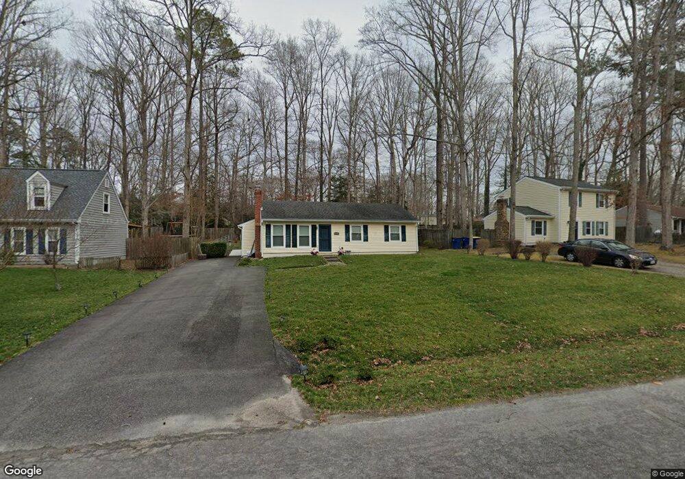
5419 Rollingway Rd Chesterfield, VA 23832
Estimated Value: $268,000 - $280,584
3
Beds
1
Bath
1,040
Sq Ft
$263/Sq Ft
Est. Value
About This Home
This home is located at 5419 Rollingway Rd, Chesterfield, VA 23832 and is currently estimated at $273,146, approximately $262 per square foot. 5419 Rollingway Rd is a home located in Chesterfield County with nearby schools including Thelma Crenshaw Elementary School, Bailey Bridge Middle School, and Manchester High.
Ownership History
Date
Name
Owned For
Owner Type
Purchase Details
Closed on
Jan 29, 2002
Bought by
Benfelsdorf James C and Benfelsdorf Laura B
Current Estimated Value
Home Financials for this Owner
Home Financials are based on the most recent Mortgage that was taken out on this home.
Original Mortgage
$52,000
Outstanding Balance
$21,532
Interest Rate
7.08%
Mortgage Type
New Conventional
Estimated Equity
$251,614
Create a Home Valuation Report for This Property
The Home Valuation Report is an in-depth analysis detailing your home's value as well as a comparison with similar homes in the area
Home Values in the Area
Average Home Value in this Area
Purchase History
| Date | Buyer | Sale Price | Title Company |
|---|---|---|---|
| Benfelsdorf James C | -- | -- |
Source: Public Records
Mortgage History
| Date | Status | Borrower | Loan Amount |
|---|---|---|---|
| Open | Benfelsdorf James C | $52,000 |
Source: Public Records
Tax History Compared to Growth
Tax History
| Year | Tax Paid | Tax Assessment Tax Assessment Total Assessment is a certain percentage of the fair market value that is determined by local assessors to be the total taxable value of land and additions on the property. | Land | Improvement |
|---|---|---|---|---|
| 2025 | $2,106 | $233,800 | $60,000 | $173,800 |
| 2024 | $2,106 | $211,700 | $52,000 | $159,700 |
| 2023 | $1,825 | $200,500 | $49,000 | $151,500 |
| 2022 | $1,690 | $183,700 | $47,000 | $136,700 |
| 2021 | $1,581 | $163,800 | $45,000 | $118,800 |
| 2020 | $1,441 | $151,700 | $45,000 | $106,700 |
| 2019 | $1,393 | $145,500 | $42,000 | $103,500 |
| 2018 | $1,304 | $137,300 | $42,000 | $95,300 |
| 2017 | $1,232 | $128,300 | $42,000 | $86,300 |
| 2016 | $1,168 | $121,700 | $42,000 | $79,700 |
| 2015 | $1,123 | $114,400 | $42,000 | $72,400 |
| 2014 | $1,086 | $110,500 | $40,000 | $70,500 |
Source: Public Records
Map
Nearby Homes
- 5430 Solaris Dr
- 10524 Sunne Ct
- 5324 Sandy Ridge Ct
- 10508 Rollingway Ct
- 5124 Rollingway Rd
- 5101 Blossomwood Cir
- 5419 Qualla Trace Ln
- 5407 Qualla Trace Ln
- 10339 Qualla Trace Dr
- 5412 Qualla Trace Ln
- 5401 Qualla Trace Ln
- 5406 Qualla Trace Ln
- 5400 Qualla Trace Ln
- 5402 Qualla Trace Terrace
- Edison Plan at Qualla Trace - Smart Living
- Newton Plan at Qualla Trace - Smart Living
- Curie Plan at Qualla Trace - Smart Living
- King Plan at Qualla Trace - Smart Living
- Maxwell Plan at Qualla Trace - Smart Living
- 10332 Qualla Trace Dr
- 5501 Rollingway Rd
- 5413 Rollingway Rd
- 10708 Solaris Ct
- 5507 Rollingway Rd
- 5407 Rollingway Rd
- 10706 Solaris Ct
- 5418 Rollingway Rd
- 5500 Rollingway Rd
- 5412 Rollingway Rd
- 5513 Rollingway Rd
- 5506 Rollingway Rd
- 5401 Rollingway Rd
- 5406 Rollingway Rd
- 10713 Sarata Ln
- 10704 Solaris Ct
- 5519 Rollingway Rd
- 5514 Rollingway Rd
- 5400 Rollingway Rd
- 10707 Sarata Ln
- 10708 Solaris Cir