5419 Sampson Rd Monroeville, IN 46773
Estimated Value: $288,000 - $444,000
3
Beds
3
Baths
2,484
Sq Ft
$149/Sq Ft
Est. Value
About This Home
This home is located at 5419 Sampson Rd, Monroeville, IN 46773 and is currently estimated at $370,540, approximately $149 per square foot. 5419 Sampson Rd is a home located in Allen County with nearby schools including Heritage Junior/Senior High School.
Ownership History
Date
Name
Owned For
Owner Type
Purchase Details
Closed on
Apr 29, 2015
Sold by
Longbrake Steven D and Longbrake Nanci
Bought by
Eaglebarger David and Eaglebarger Arlyn
Current Estimated Value
Home Financials for this Owner
Home Financials are based on the most recent Mortgage that was taken out on this home.
Original Mortgage
$247,000
Outstanding Balance
$190,899
Interest Rate
3.77%
Mortgage Type
New Conventional
Estimated Equity
$179,641
Purchase Details
Closed on
Apr 22, 2003
Sold by
Wynn Bradley A and Wynn Pamela
Bought by
Longbrake Steven D and Longbrake Nanci
Create a Home Valuation Report for This Property
The Home Valuation Report is an in-depth analysis detailing your home's value as well as a comparison with similar homes in the area
Home Values in the Area
Average Home Value in this Area
Purchase History
| Date | Buyer | Sale Price | Title Company |
|---|---|---|---|
| Eaglebarger David | -- | Metroplitan Title Of Indiana | |
| Longbrake Steven D | -- | Three Rivers Title Company I |
Source: Public Records
Mortgage History
| Date | Status | Borrower | Loan Amount |
|---|---|---|---|
| Open | Eaglebarger David | $247,000 |
Source: Public Records
Tax History Compared to Growth
Tax History
| Year | Tax Paid | Tax Assessment Tax Assessment Total Assessment is a certain percentage of the fair market value that is determined by local assessors to be the total taxable value of land and additions on the property. | Land | Improvement |
|---|---|---|---|---|
| 2024 | $1,895 | $275,400 | $51,700 | $223,700 |
| 2023 | $1,890 | $276,600 | $51,700 | $224,900 |
| 2022 | $1,945 | $272,900 | $51,700 | $221,200 |
| 2021 | $1,872 | $241,700 | $51,700 | $190,000 |
| 2020 | $1,865 | $240,000 | $51,700 | $188,300 |
| 2019 | $1,916 | $240,300 | $51,700 | $188,600 |
| 2018 | $1,961 | $235,400 | $51,700 | $183,700 |
| 2017 | $1,930 | $223,400 | $51,700 | $171,700 |
| 2016 | $1,904 | $220,700 | $51,700 | $169,000 |
| 2014 | $1,587 | $189,600 | $51,700 | $137,900 |
| 2013 | $1,644 | $190,200 | $53,000 | $137,200 |
Source: Public Records
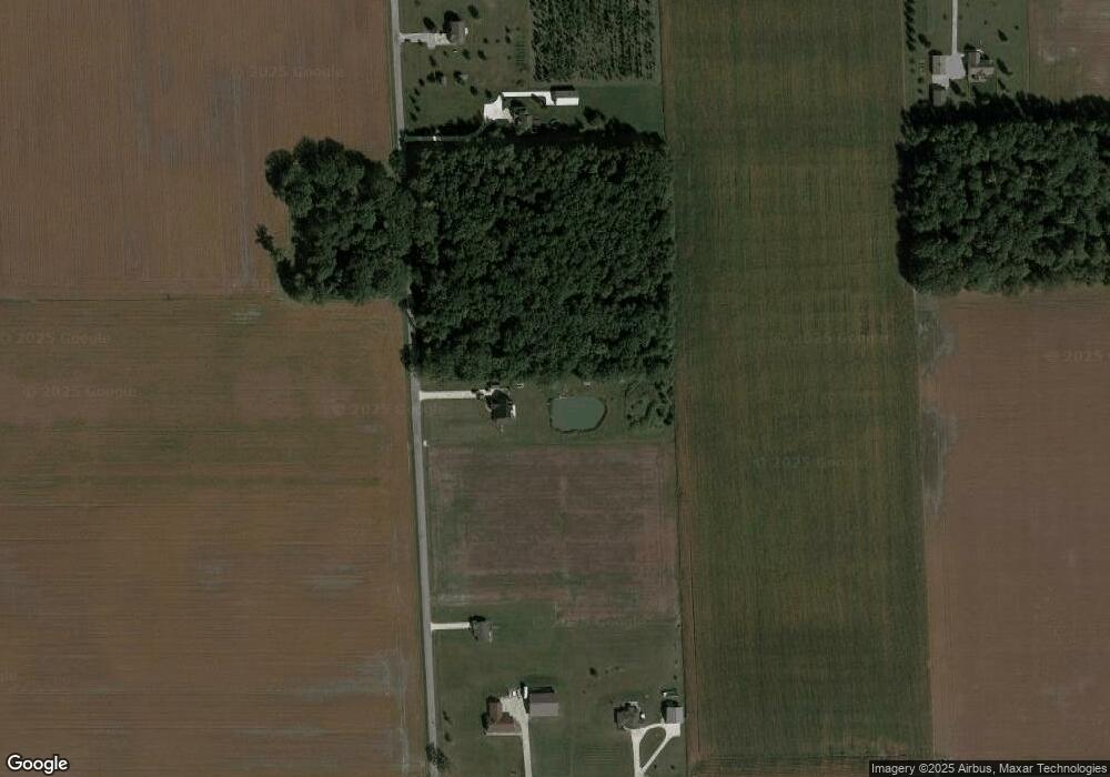
Map
Nearby Homes
- 19900 Dawkins Rd
- 318 W Barnhart St
- 214 Railroad St
- 422 Monroe St
- 23217 Griffith Rd
- 22432 Peridot Run
- 22238 Travertine Run
- 22724 Maumee Meadows Dr Unit 38
- 22727 Maumee Meadows Dr Unit 1
- 5111 Chickadee Dr Unit 15
- 5123 Chickadee Dr Unit 14
- 5099 Chickadee Dr Unit 16
- 4971 Chickadee Dr
- 5173 Meadowlark Ln Unit 7
- 5186 Meadowlark Ln Unit 5
- 22662 Maumee Meadows Dr Unit 37
- 4962 Chickadee Dr Unit 32
- 4950 Chickadee Dr Unit 31
- 22665 Maumee Meadows Dr Unit 10
- 10750 Bookcliff Cove
- 5215 Sampson Rd
- 19819 Paulding Rd
- 19919 Paulding Rd
- 5031 Sampson Rd
- 19936 Gromeaux Rd
- 19820 Gromeaux Rd
- 20216 Gromeaux Rd
- 19430 Gromeaux Rd
- 20419 Paulding Rd
- 20418 Paulding Rd
- 5330 Vanderly Rd
- 5307 Vanderly Rd
- 19302 Gromeaux Rd
- 4617 Sampson Rd
- 19301 Gromeaux Rd
- 19210 Gromeaux Rd
- 4929 Vanderly Rd
- 19020 Paulding Rd
- 4909 Vanderly Rd
- 4829 Vanderly Rd