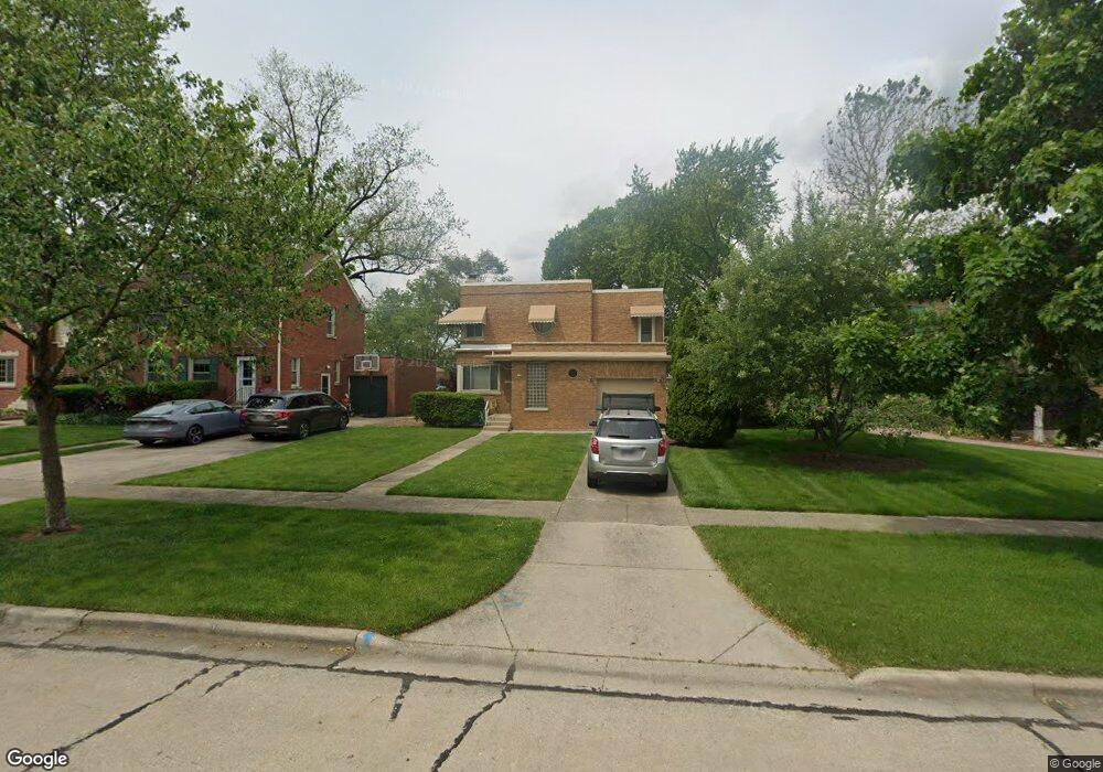
542 Byrd Rd Riverside, IL 60546
Estimated Value: $435,081 - $522,000
4
Beds
2
Baths
1,534
Sq Ft
$316/Sq Ft
Est. Value
About This Home
This home is located at 542 Byrd Rd, Riverside, IL 60546 and is currently estimated at $484,520, approximately $315 per square foot. 542 Byrd Rd is a home located in Cook County with nearby schools including Blythe Park Elementary School, L J Hauser Jr High School, and Riverside Brookfield High School.
Ownership History
Date
Name
Owned For
Owner Type
Purchase Details
Closed on
Jan 30, 2013
Sold by
Chicago Title Land Trust Co
Bought by
Puccinelli Roland J and Roland J Puccinelli Trust
Current Estimated Value
Purchase Details
Closed on
Dec 10, 1996
Sold by
Puccinelli Roland and Puccinelli Georgia
Bought by
American National Bk & Tr Co Of Chicago and Trust #120210-02
Create a Home Valuation Report for This Property
The Home Valuation Report is an in-depth analysis detailing your home's value as well as a comparison with similar homes in the area
Home Values in the Area
Average Home Value in this Area
Purchase History
| Date | Buyer | Sale Price | Title Company |
|---|---|---|---|
| Puccinelli Roland J | -- | None Available | |
| American National Bk & Tr Co Of Chicago | -- | -- |
Source: Public Records
Tax History
| Year | Tax Paid | Tax Assessment Tax Assessment Total Assessment is a certain percentage of the fair market value that is determined by local assessors to be the total taxable value of land and additions on the property. | Land | Improvement |
|---|---|---|---|---|
| 2025 | $3,035 | $38,625 | $7,500 | $31,125 |
| 2024 | $3,035 | $38,625 | $7,500 | $31,125 |
| 2023 | $4,121 | $38,625 | $7,500 | $31,125 |
| 2022 | $4,121 | $32,212 | $6,563 | $25,649 |
| 2021 | $3,507 | $34,941 | $6,562 | $28,379 |
| 2020 | $3,160 | $37,012 | $6,562 | $30,450 |
| 2019 | $3,454 | $29,010 | $6,000 | $23,010 |
| 2018 | $3,358 | $29,010 | $6,000 | $23,010 |
| 2017 | $3,192 | $31,955 | $6,000 | $25,955 |
| 2016 | $4,349 | $25,652 | $5,250 | $20,402 |
| 2015 | $4,463 | $26,557 | $5,250 | $21,307 |
| 2014 | $4,296 | $29,503 | $5,250 | $24,253 |
| 2013 | $4,056 | $25,750 | $5,250 | $20,500 |
Source: Public Records
Map
Nearby Homes
- 562 Byrd Rd
- 571 Byrd Rd
- 478 Kent Rd
- 2816 Wenonah Ave
- 2817 Wenonah Ave
- 484 Shenstone Rd
- 475 Shenstone Rd Unit 104
- 475 Shenstone Rd Unit 304
- 475 Shenstone Rd Unit 303
- 2532 Clinton Ave
- 3111 Wenonah Ave
- 2508 Kenilworth Ave
- 2716 Grove Ave
- 2728 Grove Ave
- 369 Addison Rd
- 6840 29th Place
- 2516 Grove Ave
- 2420 Kenilworth Ave
- 6828 30th Place
- 101 Southcote Rd
Your Personal Tour Guide
Ask me questions while you tour the home.