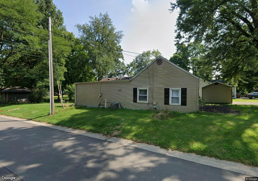
542 N Gordon St Marshall, MI 49068
Estimated Value: $158,000 - $186,000
3
Beds
1
Bath
1,008
Sq Ft
$169/Sq Ft
Est. Value
About This Home
This home is located at 542 N Gordon St, Marshall, MI 49068 and is currently estimated at $170,780, approximately $169 per square foot. 542 N Gordon St is a home located in Calhoun County with nearby schools including New Albany Middle School, Marshall Academy, and Presbyterian Center for Children.
Ownership History
Date
Name
Owned For
Owner Type
Purchase Details
Closed on
Nov 9, 2023
Sold by
Walbeck Timothy J and Walbeck Deborah M
Bought by
Hinton Mark A and Hinton Amie M
Current Estimated Value
Purchase Details
Closed on
Jun 17, 2014
Sold by
Waidelich Wanda and Waidelich Glen
Bought by
Walbeck Timothy J and Walbeck Deborah M
Home Financials for this Owner
Home Financials are based on the most recent Mortgage that was taken out on this home.
Original Mortgage
$54,500
Interest Rate
3%
Mortgage Type
Seller Take Back
Create a Home Valuation Report for This Property
The Home Valuation Report is an in-depth analysis detailing your home's value as well as a comparison with similar homes in the area
Home Values in the Area
Average Home Value in this Area
Purchase History
| Date | Buyer | Sale Price | Title Company |
|---|---|---|---|
| Hinton Mark A | -- | None Listed On Document | |
| Walbeck Timothy J | $55,000 | None Listed On Document | |
| Walbeck Timothy J | $55,000 | None Available |
Source: Public Records
Mortgage History
| Date | Status | Borrower | Loan Amount |
|---|---|---|---|
| Previous Owner | Walbeck Timothy J | $54,500 |
Source: Public Records
Tax History Compared to Growth
Tax History
| Year | Tax Paid | Tax Assessment Tax Assessment Total Assessment is a certain percentage of the fair market value that is determined by local assessors to be the total taxable value of land and additions on the property. | Land | Improvement |
|---|---|---|---|---|
| 2025 | $2,277 | $48,900 | $0 | $0 |
| 2024 | $669 | $47,500 | $0 | $0 |
| 2023 | $2,286 | $41,100 | $0 | $0 |
| 2022 | $2,591 | $37,300 | $0 | $0 |
| 2021 | $2,205 | $35,500 | $0 | $0 |
| 2020 | $2,591 | $34,100 | $0 | $0 |
| 2019 | $0 | $32,500 | $0 | $0 |
| 2018 | $0 | $32,400 | $11,200 | $21,200 |
| 2017 | $0 | $30,500 | $0 | $0 |
| 2016 | $0 | $27,600 | $0 | $0 |
| 2015 | -- | $30,100 | $0 | $0 |
| 2014 | -- | $29,300 | $0 | $0 |
Source: Public Records
Map
Nearby Homes
- 921 Forest St
- 415 East Dr
- 329 N Liberty St
- 510 East Dr
- 320 East Dr
- 922 Forest St
- 540 Cosmopolitan
- 825 Mann Rd
- 860 E Michigan Ave
- Integrity 2080 Plan at Valley View
- integrity 1830 Plan at Valley View
- Integrity 1750 Plan at Valley View
- Integrity 2061 V8.1a Plan at Valley View
- Integrity 1880 Plan at Valley View
- Integrity 1520 Plan at Valley View
- Elements 2070 Plan at Valley View
- integrity 2280 Plan at Valley View
- Elements 2390 Plan at Valley View
- Elements 2200 Plan at Valley View
- Integrity 1560 Plan at Valley View
- 920 Forest St
- 0 Forest St
- 536 N Gordon St
- 600 N Gordon St
- 604 N Gordon St
- 720 Forest St
- 537 N Gordon St
- 711 Forest St
- 530 N Gordon St
- 715 Forest St
- 541 N Gordon St
- 610 N Gordon St
- 601 N Gordon St
- 725 N Gordon St
- 726 N Gordon St
- 0 N Gordon St
- N N Gordon St
- 719 Forest St
- 619 Schuyler St
- 611 N Gordon St