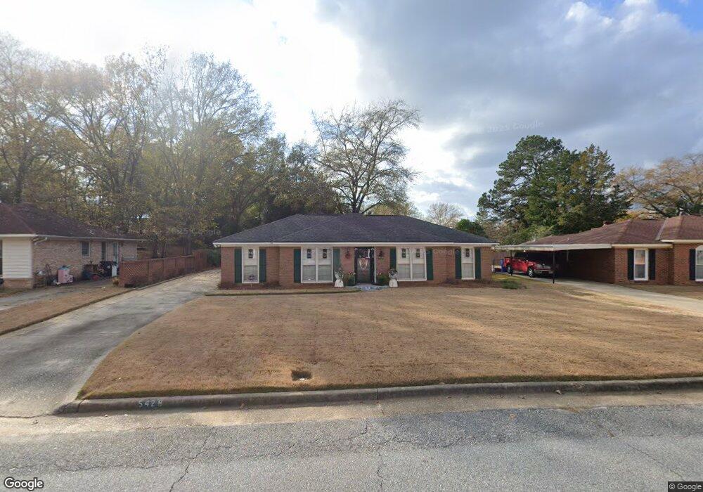
5428 Cranston Dr Columbus, GA 31907
Eastern Columbus NeighborhoodEstimated Value: $171,599 - $217,000
3
Beds
2
Baths
1,586
Sq Ft
$119/Sq Ft
Est. Value
About This Home
This home is located at 5428 Cranston Dr, Columbus, GA 31907 and is currently estimated at $189,150, approximately $119 per square foot. 5428 Cranston Dr is a home located in Muscogee County with nearby schools including Reese Road Leadership Academy, Fort Middle School, and Kendrick High School.
Ownership History
Date
Name
Owned For
Owner Type
Purchase Details
Closed on
Mar 14, 2023
Sold by
Wilson Loretta S
Bought by
Wilson Loretta S and Smith Linda Joyce
Current Estimated Value
Purchase Details
Closed on
Dec 6, 2016
Sold by
Holmes Margie C
Bought by
Smith Linda Joyce
Purchase Details
Closed on
Aug 10, 2016
Sold by
Margie C
Bought by
Wilson Loretta S
Home Financials for this Owner
Home Financials are based on the most recent Mortgage that was taken out on this home.
Original Mortgage
$103,479
Interest Rate
3.87%
Mortgage Type
FHA
Create a Home Valuation Report for This Property
The Home Valuation Report is an in-depth analysis detailing your home's value as well as a comparison with similar homes in the area
Home Values in the Area
Average Home Value in this Area
Purchase History
| Date | Buyer | Sale Price | Title Company |
|---|---|---|---|
| Wilson Loretta S | -- | -- | |
| Smith Linda Joyce | $134,582 | -- | |
| Wilson Loretta S | $106,500 | -- |
Source: Public Records
Mortgage History
| Date | Status | Borrower | Loan Amount |
|---|---|---|---|
| Previous Owner | Wilson Loretta S | $103,479 | |
| Previous Owner | Wilson Loretta S | $7,500 |
Source: Public Records
Tax History Compared to Growth
Tax History
| Year | Tax Paid | Tax Assessment Tax Assessment Total Assessment is a certain percentage of the fair market value that is determined by local assessors to be the total taxable value of land and additions on the property. | Land | Improvement |
|---|---|---|---|---|
| 2025 | $1,010 | $63,224 | $7,308 | $55,916 |
| 2024 | $1,008 | $57,628 | $7,308 | $50,320 |
| 2023 | $320 | $53,368 | $7,308 | $46,060 |
| 2022 | $1,051 | $40,724 | $7,308 | $33,416 |
| 2021 | $1,045 | $39,620 | $7,308 | $32,312 |
| 2020 | $1,045 | $39,620 | $7,308 | $32,312 |
| 2019 | $1,050 | $39,620 | $7,308 | $32,312 |
| 2018 | $1,050 | $39,620 | $7,308 | $32,312 |
| 2017 | $1,055 | $38,972 | $7,308 | $31,664 |
| 2016 | $2,221 | $53,834 | $7,742 | $46,092 |
| 2015 | $889 | $53,834 | $7,742 | $46,092 |
| 2014 | $890 | $53,834 | $7,742 | $46,092 |
| 2013 | -- | $53,834 | $7,742 | $46,092 |
Source: Public Records
Map
Nearby Homes
- 5225 Orange Dr
- 2505 White Chapel Dr
- 2501 White Chapel Dr
- 2520 Harwich Cir
- 5759 Forrest Rd
- 2249 Mahan Dr
- 2307 Skylake Dr
- 2807 Doyle Ave
- 4503 Melborne Dr
- 2246 Danbury Dr
- 2622 Natchez Dr
- 2940 Urban Ave
- 3409 Ambassador Dr
- 5833 Gleneden Dr
- 3521 Willow Bend Run
- 2661 Fernwood Ave
- 5906 Forrest Rd
- 2525 Corineth Dr
- 3027 Lansing Ave
- 6059 Nassau Cir
- 5434 Cranston Dr
- 5422 Cranston Dr
- 4 Norfolk Ct
- 5438 Cranston Dr
- 5416 Cranston Dr
- 3 Norfolk Ct
- 5 Norfolk Ct
- 5431 Cranston Dr
- 5425 Cranston Dr
- 5446 Cranston Dr
- 5439 Cranston Dr
- 5410 Cranston Dr
- 5417 Cranston Dr
- 2 Skylake Ct
- 3 Skylake Ct
- 5447 Cranston Dr
- 2 Norfolk Ct
- 6 Norfolk Ct
- 5409 Cranston Dr
- 5452 Cranston Dr