5438 Forrest Ln Sherman, IL 62684
Estimated Value: $248,000 - $353,106
3
Beds
2
Baths
2,500
Sq Ft
$123/Sq Ft
Est. Value
About This Home
This home is located at 5438 Forrest Ln, Sherman, IL 62684 and is currently estimated at $306,369, approximately $122 per square foot. 5438 Forrest Ln is a home located in Sangamon County with nearby schools including Sherman Elementary School, Williamsville Jr High School, and Williamsville High School.
Ownership History
Date
Name
Owned For
Owner Type
Purchase Details
Closed on
Oct 2, 2018
Sold by
King Edward and King Peggy P
Bought by
Kent Jon R and Kent Kelsey A
Current Estimated Value
Home Financials for this Owner
Home Financials are based on the most recent Mortgage that was taken out on this home.
Original Mortgage
$248,900
Outstanding Balance
$222,392
Interest Rate
4.63%
Mortgage Type
New Conventional
Purchase Details
Closed on
Aug 17, 2007
Purchase Details
Closed on
Jul 5, 2007
Purchase Details
Closed on
Jul 26, 2002
Purchase Details
Closed on
Apr 12, 2002
Create a Home Valuation Report for This Property
The Home Valuation Report is an in-depth analysis detailing your home's value as well as a comparison with similar homes in the area
Home Values in the Area
Average Home Value in this Area
Purchase History
| Date | Buyer | Sale Price | Title Company |
|---|---|---|---|
| -- | -- | -- | |
| -- | -- | -- | |
| -- | -- | -- | |
| -- | -- | -- |
Source: Public Records
Tax History Compared to Growth
Tax History
| Year | Tax Paid | Tax Assessment Tax Assessment Total Assessment is a certain percentage of the fair market value that is determined by local assessors to be the total taxable value of land and additions on the property. | Land | Improvement |
|---|---|---|---|---|
| 2023 | $5,788 | $89,633 | $23,429 | $66,204 |
| 2022 | $5,426 | $81,182 | $21,220 | $59,962 |
| 2021 | $5,321 | $77,508 | $20,260 | $57,248 |
| 2020 | $5,083 | $74,398 | $19,447 | $54,951 |
| 2019 | $5,078 | $74,734 | $19,535 | $55,199 |
| 2018 | $4,487 | $72,997 | $19,081 | $53,916 |
| 2017 | $4,407 | $72,997 | $19,081 | $53,916 |
| 2016 | $4,313 | $71,023 | $18,565 | $52,458 |
| 2015 | $4,151 | $67,874 | $17,742 | $50,132 |
| 2014 | $4,044 | $65,776 | $17,194 | $48,582 |
| 2013 | $3,893 | $63,174 | $16,514 | $46,660 |
Source: Public Records
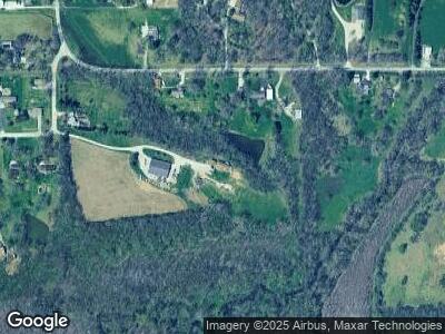
Map
Nearby Homes
- 43 Devine Dr
- 15 Oakland Dr Unit 1
- 6112 Turkey Run Rd Unit 1
- 11 Dawson Cir
- 7 Brook Ln
- 3507 River Rd
- 9 Timbercrest Dr Unit 1
- 4 Brook Ln
- 209 E Menard St
- 850 Cornsilk Ct
- 6985 Barclay Rd
- 1408 Arlington Chase
- 835 Lost Tree Dr
- 616 E Menard St Unit 1
- 1065 Harrow Dr
- 304 Belmont Chase
- 520 E Blackburn St Unit 1
- 355 Partridge Pass
- 1505 Ascot Chase
- 360 Turtle Dove Dr
- 5438 Forrest Ln
- 4972 Turkey Run Rd Unit 1
- 4900 Turkey Run Rd Unit 1
- 4992 Turkey Run Rd
- 4857 Turkey Run Rd
- 5454 Forrest Ln Unit 1
- 4963 Turkey Run Rd Unit 1
- 4738 Fawn Dr Unit 1
- 4945 Turkey Run Rd Unit 1
- 5090 Turkey Run Rd Unit 1
- 4727 Fawn Dr Unit 1
- 5584 Guest Rd Unit 1
- 4706 Fawn Dr Unit 1
- 5055 Turkey Run Rd
- 4697 Fawn Dr Unit 1
- 5586 Guest Rd Unit 1
- 5505 Guest Rd Unit 1
- 4672 Fawn Dr Unit 1
- 4669 Fawn Dr Unit 1