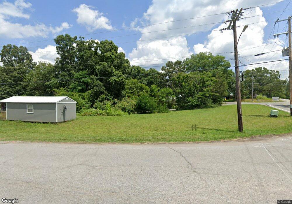
5440 Highway 49 W Vanleer, TN 37181
Estimated Value: $250,583 - $374,000
--
Bed
2
Baths
1,300
Sq Ft
$252/Sq Ft
Est. Value
About This Home
This home is located at 5440 Highway 49 W, Vanleer, TN 37181 and is currently estimated at $328,146, approximately $252 per square foot. 5440 Highway 49 W is a home located in Dickson County with nearby schools including Vanleer Elementary School, Charlotte Middle School, and Creek Wood High School.
Ownership History
Date
Name
Owned For
Owner Type
Purchase Details
Closed on
Jun 15, 2017
Sold by
Allen Gerald
Bought by
Allen Gerald A
Current Estimated Value
Purchase Details
Closed on
Aug 4, 2006
Sold by
Nelson Lorrie A
Bought by
Allen Gerald
Purchase Details
Closed on
Dec 11, 2000
Sold by
Novak Mary and Novak Kenneth
Bought by
Nelson Lorrie A
Purchase Details
Closed on
Sep 22, 1994
Sold by
Whitaker Fletcher
Bought by
Novak Mary and Novak Kenneth
Purchase Details
Closed on
Jan 1, 1985
Bought by
Whitaker Fletcher G and Whitaker Johnna
Create a Home Valuation Report for This Property
The Home Valuation Report is an in-depth analysis detailing your home's value as well as a comparison with similar homes in the area
Home Values in the Area
Average Home Value in this Area
Purchase History
| Date | Buyer | Sale Price | Title Company |
|---|---|---|---|
| Allen Gerald A | -- | -- | |
| Allen Gerald | $125,000 | -- | |
| Nelson Lorrie A | $70,000 | -- | |
| Novak Mary | -- | -- | |
| Whitaker Fletcher G | $22,500 | -- |
Source: Public Records
Tax History Compared to Growth
Tax History
| Year | Tax Paid | Tax Assessment Tax Assessment Total Assessment is a certain percentage of the fair market value that is determined by local assessors to be the total taxable value of land and additions on the property. | Land | Improvement |
|---|---|---|---|---|
| 2024 | $1,069 | $63,225 | $14,875 | $48,350 |
| 2023 | $965 | $41,075 | $5,125 | $35,950 |
| 2022 | $965 | $41,075 | $5,125 | $35,950 |
| 2021 | $965 | $41,075 | $5,125 | $35,950 |
| 2020 | $951 | $41,075 | $5,125 | $35,950 |
| 2019 | $951 | $40,450 | $5,125 | $35,325 |
| 2018 | $790 | $29,250 | $4,225 | $25,025 |
| 2017 | $790 | $29,250 | $4,225 | $25,025 |
| 2016 | $790 | $29,250 | $4,225 | $25,025 |
| 2015 | $729 | $25,125 | $4,225 | $20,900 |
| 2014 | $729 | $25,125 | $4,225 | $20,900 |
Source: Public Records
Map
Nearby Homes
- 5420 Highway 49 W
- 5382 Tennessee 49
- 5210 Highway 49 W
- 2025 Linda Ln
- 1400 Slaydenwood Rd
- 5005 Highway 49 W
- 0 Cedar Hill Rd
- 1445 Collins Rd
- 1784 New Dry Hollow Rd
- 0 Bell Hollow Rd
- 111 School St
- 1765 Williamson Branch Rd
- 261 Norris Hollow Rd
- 1150 Bell Hollow Rd
- 3006 Slayden-Marion Rd
- 0 Upper Creek Rd
- 1092 Shoulder Strap Branch Rd
- 1211 Fleet Town Rd
- 1030 Upper Creek Rd
- 1 Cave Branch Rd
- 5432 Highway 49 W
- 5450 Highway 49 W
- 5451 Highway 49 W
- 5425 Highway 49 W
- 5420 Tennessee 49
- 5415 Highway 49 W
- 5410 Highway 49 W
- 5410 Tennessee 49
- 5414 Highway 49 W
- 1020 Wolf Branch Rd
- 5409 Highway 49 W
- 5409 Tennessee 49
- 1025 Wolf Branch Rd
- 0 Hwy 49 W Unit 1679441
- 0 Hwy 49 W Unit RTC1258851
- 0 Hwy 49 W Unit RTC2434177
- 0 Hwy 49 W Unit RTC2410864
- 0 Hwy 49 W Unit RTC2383244
- 0 Hwy 49 W Unit 2057683
- 0 Hwy 49 W Unit 1996944