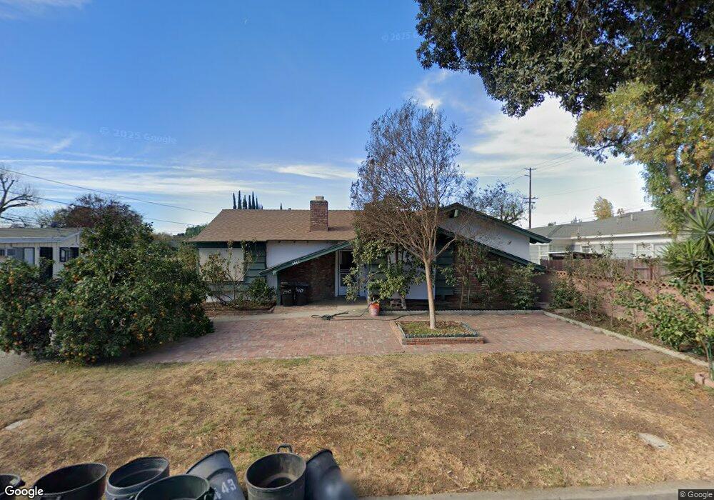
5447 Welland Ave Temple City, CA 91780
Estimated Value: $863,639 - $1,132,000
2
Beds
2
Baths
1,380
Sq Ft
$717/Sq Ft
Est. Value
About This Home
This home is located at 5447 Welland Ave, Temple City, CA 91780 and is currently estimated at $989,410, approximately $716 per square foot. 5447 Welland Ave is a home located in Los Angeles County with nearby schools including Cleminson Elementary School, Rio Hondo School, and Arroyo High School.
Ownership History
Date
Name
Owned For
Owner Type
Purchase Details
Closed on
Dec 19, 1994
Sold by
Rogers Kenneth T and Rogers Ruby A
Bought by
Hoccom Robert A
Current Estimated Value
Home Financials for this Owner
Home Financials are based on the most recent Mortgage that was taken out on this home.
Original Mortgage
$128,630
Interest Rate
9.27%
Mortgage Type
FHA
Create a Home Valuation Report for This Property
The Home Valuation Report is an in-depth analysis detailing your home's value as well as a comparison with similar homes in the area
Home Values in the Area
Average Home Value in this Area
Purchase History
| Date | Buyer | Sale Price | Title Company |
|---|---|---|---|
| Hoccom Robert A | $168,000 | Title Land Company Inc |
Source: Public Records
Mortgage History
| Date | Status | Borrower | Loan Amount |
|---|---|---|---|
| Closed | Hoccom Robert A | $128,630 |
Source: Public Records
Tax History Compared to Growth
Tax History
| Year | Tax Paid | Tax Assessment Tax Assessment Total Assessment is a certain percentage of the fair market value that is determined by local assessors to be the total taxable value of land and additions on the property. | Land | Improvement |
|---|---|---|---|---|
| 2025 | $3,813 | $281,821 | $195,332 | $86,489 |
| 2024 | $3,813 | $276,296 | $191,502 | $84,794 |
| 2023 | $3,743 | $270,880 | $187,748 | $83,132 |
| 2022 | $3,630 | $265,569 | $184,067 | $81,502 |
| 2021 | $3,549 | $260,362 | $180,458 | $79,904 |
| 2019 | $3,598 | $252,641 | $175,106 | $77,535 |
| 2018 | $3,444 | $247,688 | $171,673 | $76,015 |
| 2016 | $3,291 | $238,071 | $165,007 | $73,064 |
| 2015 | $3,256 | $234,496 | $162,529 | $71,967 |
| 2014 | $3,130 | $229,904 | $159,346 | $70,558 |
Source: Public Records
Map
Nearby Homes
- 5436 Mcculloch Ave Unit F
- 5323 Welland Ave
- 10904 Freer St
- 5138 Daleview Ave
- 2639 Glamis Ct
- 2603 Durham Ct
- 51 Miren Place
- 11223 Danbury St
- 5220 Myrtus Ave
- 5305 Tyler Ave
- 136 W Sandra Ave
- 5616 Pal Mal Ave
- 11212 Freer Ave
- 2535 Louise Ave
- 201 Las Tunas Dr
- 2606 Greenfield Ave
- 4946 El Monte Ave
- 4800 Daleview Ave Unit 86
- 4800 Daleview Ave Unit 157
- 131 Woodruff Place
- 10850 Daines Dr
- 5437 Welland Ave
- 5445 Welland Ave
- 5439 Welland Ave
- 10836 Daines Dr
- 5419 Welland Ave
- 5429 Welland Ave
- 5452 Welland Ave
- 5443 Welland Ave
- 5432 Welland Ave
- 5444 Welland Ave
- 10828 Daines Dr
- 5433 Welland Ave
- 5441 Welland Ave
- 10851 Daines Dr
- 10843 Daines Dr
- 5427 Welland Ave
- 5424 Welland Ave
- 5425 Welland Ave
- 10910 Daines Dr