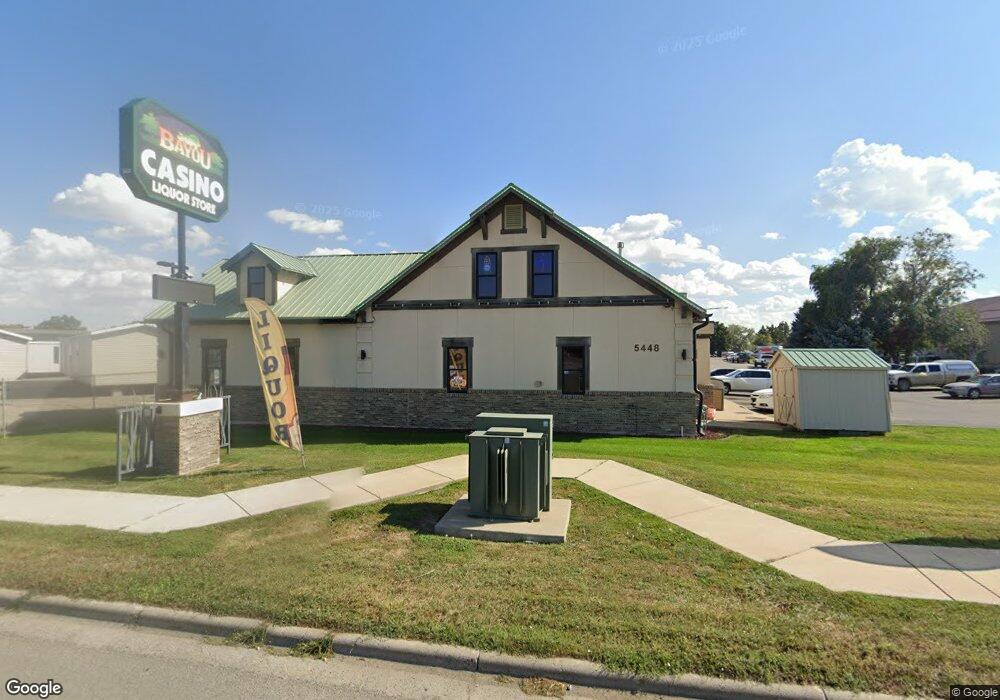
5448 Laurel Rd Billings, MT 59101
South Central Billings Neighborhood
--
Bed
--
Bath
2,644
Sq Ft
0.69
Acres
About This Home
This home is located at 5448 Laurel Rd, Billings, MT 59101. 5448 Laurel Rd is a home located in Yellowstone County with nearby schools including Elysian Elementary School, Elysian School, and Billings West High School.
Ownership History
Date
Name
Owned For
Owner Type
Purchase Details
Closed on
Apr 6, 2016
Sold by
Dash To Vegas Inc
Bought by
Montana Bayou Investments Llc
Home Financials for this Owner
Home Financials are based on the most recent Mortgage that was taken out on this home.
Original Mortgage
$249,055
Outstanding Balance
$109,021
Interest Rate
3.68%
Mortgage Type
Commercial
Purchase Details
Closed on
Mar 4, 2005
Sold by
Hill John F and Hill Lois I
Bought by
Dash To Vegas Inc
Create a Home Valuation Report for This Property
The Home Valuation Report is an in-depth analysis detailing your home's value as well as a comparison with similar homes in the area
Home Values in the Area
Average Home Value in this Area
Purchase History
| Date | Buyer | Sale Price | Title Company |
|---|---|---|---|
| Montana Bayou Investments Llc | -- | American Title & Escrow | |
| Dash To Vegas Inc | -- | American Title |
Source: Public Records
Mortgage History
| Date | Status | Borrower | Loan Amount |
|---|---|---|---|
| Open | Montana Bayou Investments Llc | $249,055 |
Source: Public Records
Tax History Compared to Growth
Tax History
| Year | Tax Paid | Tax Assessment Tax Assessment Total Assessment is a certain percentage of the fair market value that is determined by local assessors to be the total taxable value of land and additions on the property. | Land | Improvement |
|---|---|---|---|---|
| 2025 | $5,988 | $521,600 | $420,211 | $101,389 |
| 2024 | $5,988 | $452,400 | $342,665 | $109,735 |
| 2023 | $6,396 | $452,400 | $342,665 | $109,735 |
| 2022 | $5,135 | $460,500 | $0 | $0 |
| 2021 | $6,490 | $460,500 | $0 | $0 |
| 2020 | $6,413 | $441,600 | $0 | $0 |
| 2019 | $6,111 | $441,600 | $0 | $0 |
| 2018 | $6,594 | $471,900 | $0 | $0 |
| 2017 | $5,007 | $471,900 | $0 | $0 |
| 2016 | $5,440 | $406,400 | $0 | $0 |
| 2015 | $5,297 | $406,400 | $0 | $0 |
| 2014 | $4,629 | $254,262 | $0 | $0 |
Source: Public Records
Map
Nearby Homes
- 19 Patton Ave
- 12 Macarthur Ave
- 231 S 12th St W
- 2014 George St
- 2016 Monad Rd
- 226 Moore Ln
- 141 S 12th St W
- 240 Birchwood Dr
- 5325 Frontier Dr Unit 2
- 1219 Fairvale Dr
- 2109 George St
- 669 S 22nd St W
- 1212 Concord Dr
- 2225 Rosebud Dr
- 5412 Denali Dr
- 4645 Phillip St
- 126 Ardmore Dr
- 5531 Elysian Rd
- 1205 Lynn Ave
- 1231 Saint Johns Ave
- 744 Parkway Ln
- 6 Marshall Dr
- 8 Marshall Dr
- 10 Marshall Dr
- 12 Marshall Dr
- 14 Marshall Dr
- 16 Marshall Dr
- 18 Marshall Dr
- 20 Marshall Dr
- 43 Macarthur Ave
- 22 Marshall Dr
- 619 Daniel St
- 42 Macarthur Ave
- 41 Macarthur Ave
- 11 Marshall Dr
- 33 Berg Ave
- 39 Macarthur Ave
- 40 Mac Arthur Ave
- 40 Macarthur Ave
- 34 Berg Ave