545 Gull Wing Dr Vero Beach, FL 32968
Estimated Value: $526,637 - $707,000
3
Beds
2
Baths
1,787
Sq Ft
$329/Sq Ft
Est. Value
About This Home
This home is located at 545 Gull Wing Dr, Vero Beach, FL 32968 and is currently estimated at $588,159, approximately $329 per square foot. 545 Gull Wing Dr is a home located in Indian River County with nearby schools including Citrus Elementary School, Gifford Middle School, and Vero Beach High School.
Ownership History
Date
Name
Owned For
Owner Type
Purchase Details
Closed on
Oct 19, 2022
Sold by
Miller Carl A and Miller Donna M
Bought by
Miller Carl A and Miller Donna M
Current Estimated Value
Purchase Details
Closed on
Apr 19, 1996
Sold by
Daggett Myron L and Daggett Marigene C
Bought by
Miller Carl A and Thompson Donna M
Home Financials for this Owner
Home Financials are based on the most recent Mortgage that was taken out on this home.
Original Mortgage
$162,400
Interest Rate
7.36%
Create a Home Valuation Report for This Property
The Home Valuation Report is an in-depth analysis detailing your home's value as well as a comparison with similar homes in the area
Home Values in the Area
Average Home Value in this Area
Purchase History
| Date | Buyer | Sale Price | Title Company |
|---|---|---|---|
| Miller Carl A | -- | -- | |
| Miller Carl A | $203,000 | -- |
Source: Public Records
Mortgage History
| Date | Status | Borrower | Loan Amount |
|---|---|---|---|
| Previous Owner | Miller Carl A | $162,400 |
Source: Public Records
Tax History Compared to Growth
Tax History
| Year | Tax Paid | Tax Assessment Tax Assessment Total Assessment is a certain percentage of the fair market value that is determined by local assessors to be the total taxable value of land and additions on the property. | Land | Improvement |
|---|---|---|---|---|
| 2024 | $3,367 | $283,290 | -- | -- |
| 2023 | $3,367 | $267,287 | $0 | $0 |
| 2022 | $3,279 | $259,502 | $0 | $0 |
| 2021 | $3,267 | $251,944 | $0 | $0 |
| 2020 | $3,254 | $248,466 | $0 | $0 |
| 2019 | $3,259 | $242,879 | $0 | $0 |
| 2018 | $3,229 | $238,350 | $0 | $0 |
| 2017 | $3,201 | $233,447 | $0 | $0 |
| 2016 | $3,227 | $232,860 | $0 | $0 |
| 2015 | $3,340 | $231,250 | $0 | $0 |
| 2014 | $3,248 | $229,420 | $0 | $0 |
Source: Public Records
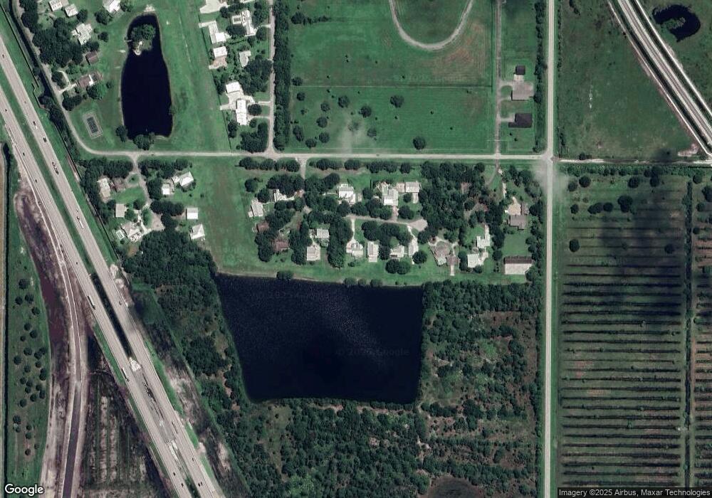
Map
Nearby Homes
- 505 Wright Cir
- 0 I-95 Unit MFRO6230037
- 280 Nieuport Dr
- 8280 Halbert Ln
- 8135 White Fences Ln
- 2105 86th Ave SW
- 6230 5th St
- 0 Sw Unit 23858392
- 0 Sw Unit A11821683
- 7395 6th St
- 6075 6th St
- 6055 6th St
- 7350 Andrews Place SW
- 470 Stoney Brook Farm Ct
- 8130 White Fences Ln
- 550 Stoney Brook Farm Ct
- 560 Stoney Brook Farm Ct
- 8300 Meredith Place
- 8557 19th Square SW
- 455 74th Ave
- 535 Gull Wing Dr
- 565 Gull Wing Dr
- 540 Gull Wing Dr
- 560 Gull Wing Dr
- 525 Gull Wing Dr
- 505 Gull Wing Dr
- 8235 5th St SW
- 520 Wright Cir
- 495 Nieuport Dr
- 510 Wright Cir
- Tbd 82nd Ave
- Tbd 82nd Ave Unit 1
- 485 Nieuport Dr
- 515 Wright Cir
- 8230 5th St SW
- 475 Nieuport Dr
- 465 Nieuport Dr
- 0 I-95 Unit A10284112
- 395 Nieuport Dr
- 440 Sopwith Dr