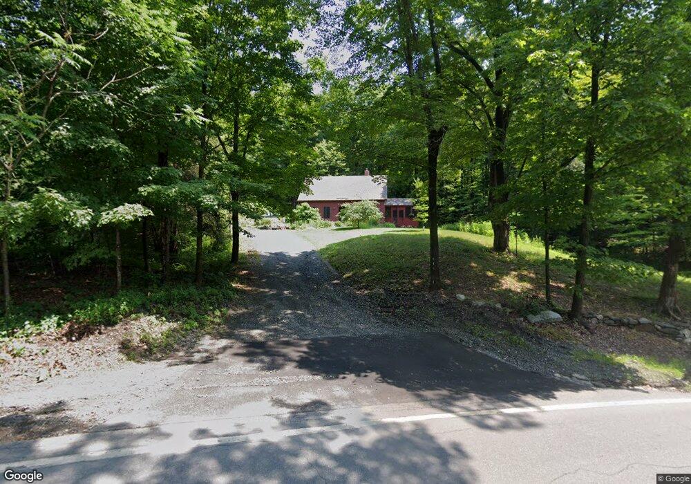
545 Route 63 Westmoreland, NH 03467
Estimated Value: $371,000 - $437,000
1
Bed
2
Baths
1,808
Sq Ft
$223/Sq Ft
Est. Value
About This Home
This home is located at 545 Route 63, Westmoreland, NH 03467 and is currently estimated at $402,596, approximately $222 per square foot. 545 Route 63 is a home with nearby schools including Keene High School and Pioneer Junior Academy.
Create a Home Valuation Report for This Property
The Home Valuation Report is an in-depth analysis detailing your home's value as well as a comparison with similar homes in the area
Home Values in the Area
Average Home Value in this Area
Tax History Compared to Growth
Tax History
| Year | Tax Paid | Tax Assessment Tax Assessment Total Assessment is a certain percentage of the fair market value that is determined by local assessors to be the total taxable value of land and additions on the property. | Land | Improvement |
|---|---|---|---|---|
| 2024 | $4,873 | $211,300 | $74,100 | $137,200 |
| 2023 | $4,499 | $211,300 | $74,100 | $137,200 |
| 2022 | $4,342 | $211,300 | $74,100 | $137,200 |
| 2021 | $4,311 | $211,300 | $74,100 | $137,200 |
| 2020 | $4,470 | $176,000 | $61,000 | $115,000 |
| 2019 | $4,685 | $174,500 | $61,000 | $113,500 |
| 2018 | $4,446 | $174,500 | $61,000 | $113,500 |
| 2017 | $4,363 | $174,500 | $61,000 | $113,500 |
| 2016 | $4,333 | $174,500 | $61,000 | $113,500 |
| 2015 | $4,259 | $195,300 | $66,700 | $128,600 |
| 2014 | $4,254 | $195,300 | $66,700 | $128,600 |
| 2012 | $4,127 | $195,300 | $66,700 | $128,600 |
Source: Public Records
Map
Nearby Homes
- 49 River Rd
- 00 S Pine Banks Rd
- 000 S Village Rd Unit 13
- 212 S Pine Banks Rd
- 14 Hurricane Rd
- 119 Main St
- 13 Kimball Hill
- 462 Spofford Rd
- 62 Westminster Rd
- 4 Signal Pine Rd
- 153 Westminster Rd
- 159 Westminster Rd
- 37 Fred Houghton Rd
- 1123 River Rd
- 203 Westminster Rd
- 0 Old Ledge Rd Unit 4950217
- 152 Halls Crossing Rd
- 85 Foley Rd
- 43 Westmoreland Rd
- 36 Canal St