546 Macarthur Blvd Bourne, MA 2532
Pocasset Neighborhood
Studio
--
Bath
--
Sq Ft
40,990
Sq Ft Lot
About This Home
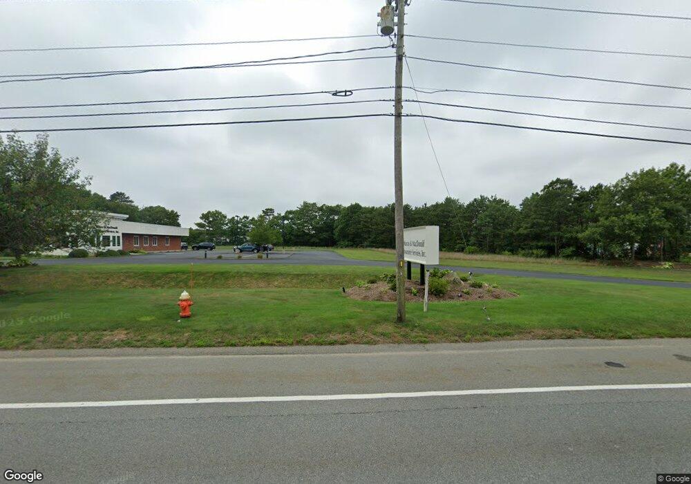
This home is located at 546 Macarthur Blvd, Bourne, MA 2532. 546 Macarthur Blvd is a home located in Barnstable County with nearby schools including Bourne High School, Cadence Academy Preschool - Bourne, and St Margaret Regional School.
Ownership History
Date
Name
Owned For
Owner Type
Purchase Details
Closed on
May 5, 2008
Sold by
Jabez Realty Llc
Bought by
Jabez 2 Rt and Macdonald
Purchase Details
Closed on
May 15, 2006
Sold by
Csa Rt and Denmark
Bought by
Jabez Realty Llc and Denmark
Home Financials for this Owner
Home Financials are based on the most recent Mortgage that was taken out on this home.
Original Mortgage
$975,000
Interest Rate
6.4%
Mortgage Type
Commercial
Create a Home Valuation Report for This Property
The Home Valuation Report is an in-depth analysis detailing your home's value as well as a comparison with similar homes in the area
Home Values in the Area
Average Home Value in this Area
Purchase History
| Date | Buyer | Sale Price | Title Company |
|---|---|---|---|
| Jabez 2 Rt | $10,000 | -- | |
| Jabez 2 Rt | $10,000 | -- | |
| Jabez Realty Llc | $960,000 | -- | |
| Jabez Realty Llc | $960,000 | -- | |
| Csa Rt | -- | -- |
Source: Public Records
Mortgage History
| Date | Status | Borrower | Loan Amount |
|---|---|---|---|
| Previous Owner | Csa Rt | $975,000 |
Source: Public Records
Tax History
| Year | Tax Paid | Tax Assessment Tax Assessment Total Assessment is a certain percentage of the fair market value that is determined by local assessors to be the total taxable value of land and additions on the property. | Land | Improvement |
|---|---|---|---|---|
| 2025 | $3,384 | $433,300 | $433,300 | $0 |
| 2024 | $3,310 | $412,700 | $412,700 | $0 |
| 2023 | $3,496 | $396,800 | $396,800 | $0 |
| 2022 | $3,765 | $373,100 | $373,100 | $0 |
| 2021 | $3,901 | $362,200 | $362,200 | $0 |
| 2020 | $3,814 | $355,100 | $355,100 | $0 |
| 2019 | $3,659 | $348,100 | $348,100 | $0 |
| 2018 | $3,528 | $334,700 | $334,700 | $0 |
| 2017 | $3,413 | $331,400 | $331,400 | $0 |
| 2016 | $3,367 | $331,400 | $331,400 | $0 |
| 2015 | $3,337 | $331,400 | $331,400 | $0 |
Source: Public Records
Map
Nearby Homes
- 20 Colony Ave
- 3 1st St
- 7 4th Ave
- 3 4th Ave
- 4 Harbor Hill Dr
- 709 County Rd
- 16 Amberwood Ct
- 254 Barlows Landing Rd
- 16 Michael Rd
- 566 Shore Rd
- 12 Turnberry Rd Unit 12
- 4 Hollyhock Knoll Ct Unit 4
- 4 Hollyhock Knoll Ct Unit 4
- 203 County Rd
- 14 Navajo Rd
- 5 Sea Knoll Ct
- 13 Laurel Hill Ct
- 5 Zoli Ln
- 44 Cotuit Rd
- 48 Red Brook Harbor Rd
- 550 Macarthur Blvd
- 552 Macarthur Blvd
- 536 Macarthur Blvd
- 560 Macarthur Blvd
- 530 Macarthur Blvd
- 9-11 Jonathan Bourne Dr
- 31 Jonathan Bourne Dr
- 4 Forest Park Dr
- 28 Jonathan Bourne Dr
- 568 Macarthur Blvd
- 6 Forest St
- 20 Jonathan Bourne Dr
- 24 Jonathan Bourne Dr
- 32 Jonathan Bourne Dr
- 5 Benjamin Nye Cir
- 6 Benjamin Nye Cir
- 16 Jonathan Bourne Dr
- 3 Forest Park Dr
- 3 Forest St
- 5 Daniel Webster Rd
Your Personal Tour Guide
Ask me questions while you tour the home.