Studio
2
Baths
1,510
Sq Ft
1,742
Sq Ft
About This Home
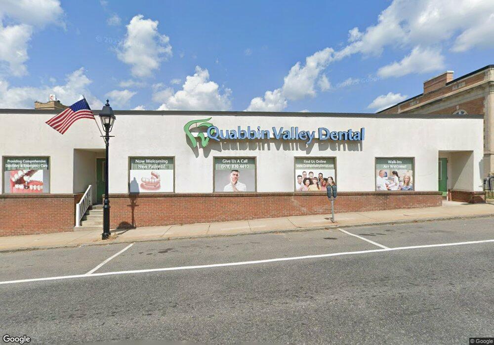
This home is located at 546 Main St, Athol, MA 01331. 546 Main St is a home located in Worcester County with nearby schools including Athol High School.
Ownership History
Date
Name
Owned For
Owner Type
Purchase Details
Closed on
Mar 16, 2023
Sold by
Dental Health Mgmt Llc
Bought by
546 Main St Nt and Kim
Home Financials for this Owner
Home Financials are based on the most recent Mortgage that was taken out on this home.
Original Mortgage
$410,000
Outstanding Balance
$395,627
Interest Rate
6.09%
Mortgage Type
Purchase Money Mortgage
Purchase Details
Closed on
Apr 18, 2012
Sold by
Vida Capital Group Llc
Bought by
Dental Health Mgmt Llc
Purchase Details
Closed on
Jan 25, 2007
Sold by
Mailloux Monica J
Bought by
Mailloux Wayne J
Purchase Details
Closed on
Mar 10, 2005
Sold by
Purple Norma M and Purple Norman W
Bought by
Mailloux Monica J and Mailloux Wayne J
Create a Home Valuation Report for This Property
The Home Valuation Report is an in-depth analysis detailing your home's value as well as a comparison with similar homes in the area
Home Values in the Area
Average Home Value in this Area
Purchase History
| Date | Buyer | Sale Price | Title Company |
|---|---|---|---|
| 546 Main St Nt | $400,000 | None Available | |
| Dental Health Mgmt Llc | $23,300 | -- | |
| Dental Health Mgmt Llc | $23,300 | -- | |
| Vida Capital Group Llc | $100,000 | -- | |
| Mailloux Wayne J | -- | -- | |
| Mailloux Wayne J | -- | -- | |
| Mailloux Monica J | -- | -- | |
| Mailloux Monica J | -- | -- |
Source: Public Records
Mortgage History
| Date | Status | Borrower | Loan Amount |
|---|---|---|---|
| Open | 546 Main St Nt | $410,000 |
Source: Public Records
Tax History
| Year | Tax Paid | Tax Assessment Tax Assessment Total Assessment is a certain percentage of the fair market value that is determined by local assessors to be the total taxable value of land and additions on the property. | Land | Improvement |
|---|---|---|---|---|
| 2025 | $3,920 | $308,400 | $77,400 | $231,000 |
| 2024 | $2,970 | $231,500 | $73,700 | $157,800 |
| 2023 | $2,965 | $211,200 | $53,400 | $157,800 |
| 2022 | $3,390 | $211,200 | $53,400 | $157,800 |
| 2021 | $2,471 | $139,900 | $34,300 | $105,600 |
| 2020 | $2,403 | $139,900 | $34,300 | $105,600 |
| 2019 | $2,441 | $139,900 | $34,300 | $105,600 |
| 2018 | $2,671 | $136,500 | $30,900 | $105,600 |
| 2017 | $2,785 | $136,500 | $30,900 | $105,600 |
| 2016 | $2,437 | $122,900 | $26,300 | $96,600 |
| 2015 | $2,339 | $122,900 | $26,300 | $96,600 |
| 2014 | $2,265 | $122,900 | $26,300 | $96,600 |
Source: Public Records
Map
Nearby Homes
- lot1 Riceville Rd
- 1 Island Home
- 1 Island Home 1
- 63 Island #1 Lake Ellis
- 522 Main St
- 512 Main St
- 573 Main St
- 500 Main St Unit 1
- 500 Main St
- 54 Island 2 - Lake Ellis
- 489 Main St
- 498 Main St
- 585 Main St
- 194 Marble St
- 485 Main St
- 491 Main St
- 493 Main St
- 491 Main St Unit A
- 491 Main St Unit 8
- 491 Main St Unit 7
Your Personal Tour Guide
Ask me questions while you tour the home.