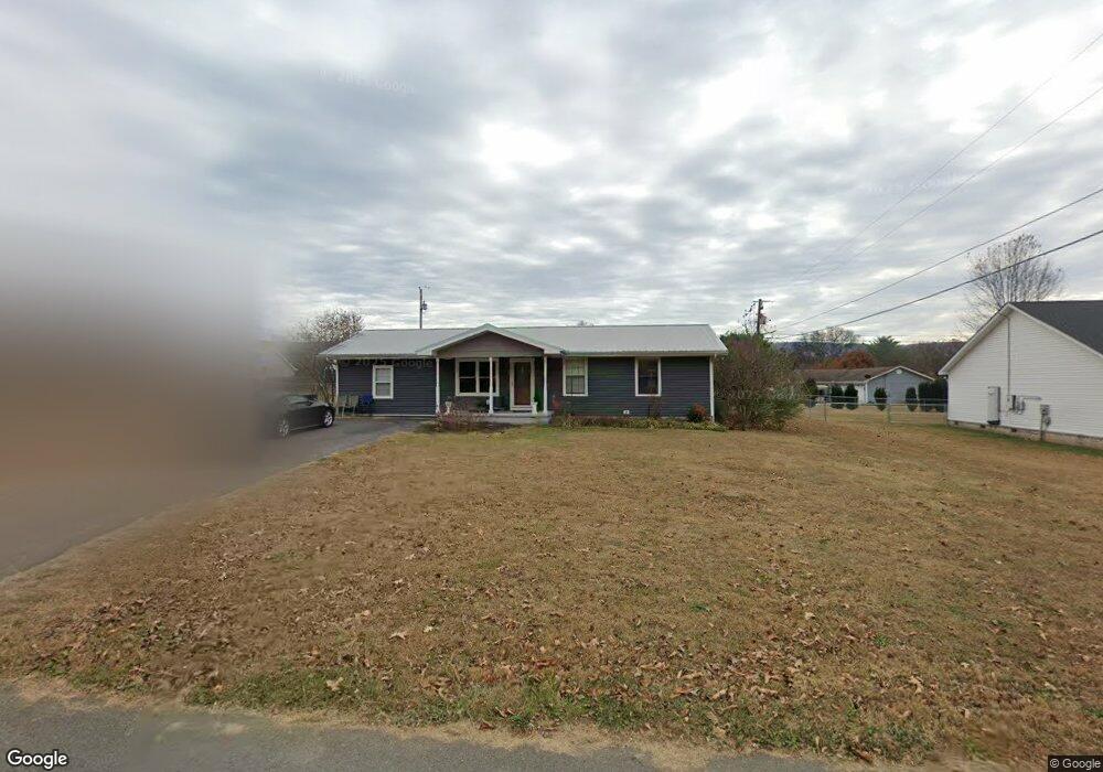
547 Hill Cir Dunlap, TN 37327
Estimated Value: $188,124 - $305,000
--
Bed
1
Bath
1,306
Sq Ft
$201/Sq Ft
Est. Value
About This Home
This home is located at 547 Hill Cir, Dunlap, TN 37327 and is currently estimated at $262,531, approximately $201 per square foot. 547 Hill Cir is a home located in Sequatchie County with nearby schools including Griffith Elementary School, Sequatchie County Middle School, and Sequatchie County High School.
Ownership History
Date
Name
Owned For
Owner Type
Purchase Details
Closed on
Apr 8, 2020
Sold by
Brady David Michael
Bought by
Smith Cory P
Current Estimated Value
Home Financials for this Owner
Home Financials are based on the most recent Mortgage that was taken out on this home.
Original Mortgage
$153,260
Outstanding Balance
$135,179
Interest Rate
3.4%
Mortgage Type
New Conventional
Estimated Equity
$127,352
Purchase Details
Closed on
Nov 25, 2006
Bought by
Brady David Micheal and Wife Shana Suzanne
Home Financials for this Owner
Home Financials are based on the most recent Mortgage that was taken out on this home.
Original Mortgage
$106,700
Interest Rate
6.36%
Purchase Details
Closed on
Dec 4, 1996
Sold by
Swanger Michael J
Bought by
Michael Brady Daird
Create a Home Valuation Report for This Property
The Home Valuation Report is an in-depth analysis detailing your home's value as well as a comparison with similar homes in the area
Home Values in the Area
Average Home Value in this Area
Purchase History
| Date | Buyer | Sale Price | Title Company |
|---|---|---|---|
| Smith Cory P | $158,000 | None Available | |
| Brady David Micheal | -- | -- | |
| Michael Brady Daird | $64,000 | -- |
Source: Public Records
Mortgage History
| Date | Status | Borrower | Loan Amount |
|---|---|---|---|
| Open | Smith Cory P | $153,260 | |
| Previous Owner | Michael Brady Daird | $106,700 |
Source: Public Records
Tax History Compared to Growth
Tax History
| Year | Tax Paid | Tax Assessment Tax Assessment Total Assessment is a certain percentage of the fair market value that is determined by local assessors to be the total taxable value of land and additions on the property. | Land | Improvement |
|---|---|---|---|---|
| 2025 | $1,199 | $47,075 | $0 | $0 |
| 2024 | $1,199 | $49,675 | $5,000 | $44,675 |
| 2023 | $1,199 | $49,675 | $5,000 | $44,675 |
| 2022 | $1,003 | $30,225 | $4,275 | $25,950 |
| 2021 | $988 | $30,225 | $4,275 | $25,950 |
| 2020 | $988 | $30,225 | $4,275 | $25,950 |
| 2019 | $677 | $20,725 | $4,275 | $16,450 |
| 2018 | $670 | $20,725 | $4,275 | $16,450 |
| 2017 | $662 | $20,725 | $4,275 | $16,450 |
| 2016 | $717 | $21,525 | $4,275 | $17,250 |
| 2015 | $717 | $21,525 | $4,275 | $17,250 |
| 2014 | $717 | $21,525 | $4,275 | $17,250 |
Source: Public Records
Map
Nearby Homes
- 11342 Fredonia Rd
- 21 Fredonia Rd
- 0 Fredonia Loop
- 103 Fredonia Rd
- 14999 Rankin Ave
- 3 Fredonia Rd
- 1 Fredonia Rd
- 2 Fredonia Rd
- 217 A Day Dream Dr
- 267 Williams Rd
- 0 State Rt 399 Lot 13
- 2 Boulder Dr
- 2000 Fredonia Rd
- 410 Cherry St
- 0 SE US Hwy 127 Unit 1519993
- 0 SE US Hwy 127 Unit 1519990
- 0 SE US Hwy 127 Unit 1519988
- 0 SE US Hwy 127 Unit 1314389
- 0 SE US Hwy 127 Unit 1519979
- 0 SE US Hwy 127 Unit 1519991