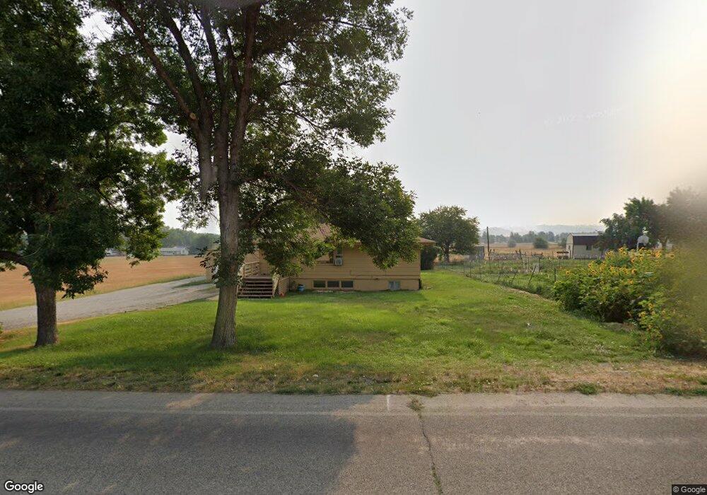
547 Johnson Ln Billings, MT 59101
Lockwood NeighborhoodEstimated Value: $410,000 - $536,113
3
Beds
2
Baths
2,432
Sq Ft
$189/Sq Ft
Est. Value
About This Home
This home is located at 547 Johnson Ln, Billings, MT 59101 and is currently estimated at $460,278, approximately $189 per square foot. 547 Johnson Ln is a home with nearby schools including Lockwood Primary School, Lockwood Intermediate School, and Lockwood Middle School.
Ownership History
Date
Name
Owned For
Owner Type
Purchase Details
Closed on
Mar 24, 2025
Sold by
Clock Tower Inn Llc
Bought by
Bsw Lockwood Llc
Current Estimated Value
Purchase Details
Closed on
Sep 14, 2023
Sold by
Board Of Trustees Of Lockwood Fire Distr and Lockwood Rural Fire District
Bought by
Clock Tower Inn Llc
Home Financials for this Owner
Home Financials are based on the most recent Mortgage that was taken out on this home.
Original Mortgage
$529,658
Interest Rate
6.9%
Mortgage Type
New Conventional
Create a Home Valuation Report for This Property
The Home Valuation Report is an in-depth analysis detailing your home's value as well as a comparison with similar homes in the area
Home Values in the Area
Average Home Value in this Area
Purchase History
| Date | Buyer | Sale Price | Title Company |
|---|---|---|---|
| Bsw Lockwood Llc | -- | None Listed On Document | |
| Clock Tower Inn Llc | -- | Chicago Title |
Source: Public Records
Mortgage History
| Date | Status | Borrower | Loan Amount |
|---|---|---|---|
| Previous Owner | Clock Tower Inn Llc | $529,658 |
Source: Public Records
Tax History Compared to Growth
Tax History
| Year | Tax Paid | Tax Assessment Tax Assessment Total Assessment is a certain percentage of the fair market value that is determined by local assessors to be the total taxable value of land and additions on the property. | Land | Improvement |
|---|---|---|---|---|
| 2025 | $4,316 | $383,200 | $123,526 | $259,674 |
| 2024 | $4,316 | $384,900 | $121,315 | $263,585 |
| 2023 | $4,280 | $384,900 | $121,315 | $263,585 |
| 2022 | $2,362 | $265,981 | $0 | $0 |
| 2021 | $3,402 | $265,981 | $0 | $0 |
| 2020 | $3,022 | $232,643 | $0 | $0 |
| 2019 | $3,069 | $232,643 | $0 | $0 |
| 2018 | $2,953 | $206,100 | $0 | $0 |
| 2017 | $1,543 | $206,100 | $0 | $0 |
| 2016 | $2,569 | $223,000 | $0 | $0 |
| 2015 | $2,500 | $223,000 | $0 | $0 |
| 2014 | $2,232 | $102,396 | $0 | $0 |
Source: Public Records
Map
Nearby Homes
- 2710 Silverton St
- 531 Andrick Ave
- 2528 Sterling St
- 908 Saddle Ln
- 3306 Becraft Ln
- 505 El Molino St
- 1125 Firth St
- 242 Hemlock Dr
- TBD Navarro Rd
- 955 Barbara Dr
- TBD San Marino Dr
- 1129 Wren St
- 149 Nightingale Dr
- 119 Nightingale Dr
- 430 Sunlight Cir
- 420 Sunlight Cir
- 410 Sunlight Cir
- 400 Sunlight Cir
- 320 Sunlight Cir
- 325 Sunlight Cir
- 535 Johnson Ln
- 537 Kallen Dr
- 525 Kallen Dr
- 626 Johnson Ln
- 532 Jemstone Dr
- 2907 Unertal Ave
- 509 Kallen Dr
- 515 Jemstone Dr
- 2908 Alaskan Ave
- 2913 Unertal Ave
- 528 Jemstone Dr
- 506 Kallen Dr
- 511 Jemstone Dr
- 2914 Alaskan Ave
- 2919 Unertal Ave
- 2701 Rockwood St
- 514 Jemstone Dr
- 633 Mauser St
- 507 Jemstone Dr
- 2920 Alaskan Ave