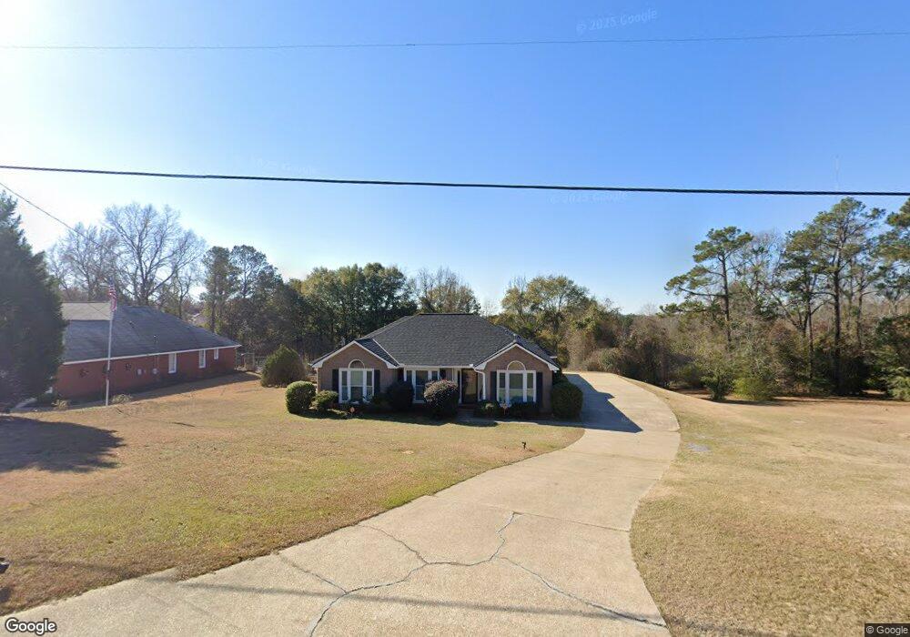
547 Moye Rd Columbus, GA 31907
Eastern Columbus NeighborhoodEstimated Value: $212,526 - $294,000
4
Beds
3
Baths
1,844
Sq Ft
$128/Sq Ft
Est. Value
About This Home
This home is located at 547 Moye Rd, Columbus, GA 31907 and is currently estimated at $236,132, approximately $128 per square foot. 547 Moye Rd is a home located in Muscogee County with nearby schools including Taylor Ranch Elementary School, Georgetown Elementary School, and East Columbus Magnet Academy.
Ownership History
Date
Name
Owned For
Owner Type
Purchase Details
Closed on
Sep 28, 2015
Sold by
Powers Investments Llc
Bought by
Anderson Kathy M and Barber Corneill O
Current Estimated Value
Home Financials for this Owner
Home Financials are based on the most recent Mortgage that was taken out on this home.
Original Mortgage
$149,900
Outstanding Balance
$117,940
Interest Rate
3.88%
Mortgage Type
VA
Estimated Equity
$118,192
Purchase Details
Closed on
Jun 9, 2015
Sold by
Sec Of Veterans Affa
Bought by
Powers Investments Llc
Home Financials for this Owner
Home Financials are based on the most recent Mortgage that was taken out on this home.
Original Mortgage
$85,800
Interest Rate
3.92%
Mortgage Type
New Conventional
Purchase Details
Closed on
Dec 2, 2014
Sold by
Beal Bank
Bought by
Secretary Of Veterans Affairs
Create a Home Valuation Report for This Property
The Home Valuation Report is an in-depth analysis detailing your home's value as well as a comparison with similar homes in the area
Home Values in the Area
Average Home Value in this Area
Purchase History
| Date | Buyer | Sale Price | Title Company |
|---|---|---|---|
| Anderson Kathy M | $149,900 | -- | |
| Powers Investments Llc | $75,000 | -- | |
| Secretary Of Veterans Affairs | -- | -- | |
| Beal Bank | -- | -- | |
| Sec Of Veterans Affairs | -- | -- | |
| Beal Bank | -- | -- |
Source: Public Records
Mortgage History
| Date | Status | Borrower | Loan Amount |
|---|---|---|---|
| Open | Anderson Kathy M | $149,900 | |
| Previous Owner | Powers Investments Llc | $85,800 |
Source: Public Records
Tax History Compared to Growth
Tax History
| Year | Tax Paid | Tax Assessment Tax Assessment Total Assessment is a certain percentage of the fair market value that is determined by local assessors to be the total taxable value of land and additions on the property. | Land | Improvement |
|---|---|---|---|---|
| 2025 | -- | $69,380 | $12,644 | $56,736 |
| 2024 | -- | $69,380 | $12,644 | $56,736 |
| 2023 | $0 | $69,380 | $12,644 | $56,736 |
| 2022 | $1,901 | $61,144 | $12,644 | $48,500 |
| 2021 | $1,901 | $59,664 | $12,644 | $47,020 |
| 2020 | $1,902 | $59,664 | $12,644 | $47,020 |
| 2019 | $1,910 | $59,664 | $12,644 | $47,020 |
| 2018 | $1,910 | $59,664 | $12,644 | $47,020 |
| 2017 | $1,918 | $59,664 | $12,644 | $47,020 |
| 2016 | $1,926 | $59,960 | $9,328 | $50,632 |
| 2015 | $902 | $54,615 | $9,328 | $45,287 |
| 2014 | -- | $54,615 | $9,328 | $45,287 |
| 2013 | -- | $54,615 | $9,328 | $45,287 |
Source: Public Records
Map
Nearby Homes
- 5833 Bunche St
- 1111 Richland Dr
- 905 Bethune Ct
- 6416 Sandy Bottom Dr
- 754 Red Oak Dr
- 6188 Valencia Dr
- 6620 Cove Cir
- 1252 School House Dr
- 1607 Mazor Dr
- 6061 Luna Dr
- 908 Arlington Dr
- 6040 Luna Dr
- 6033 Luna Dr
- 1068 Valencia Dr
- 6213 Fitzgerald Dr
- 1925 Woodhollow Dr
- 5834 Blueridge Dr
- 5730 Teresa St
- 5500 Amber Dr
- 5802 Blueridge Dr