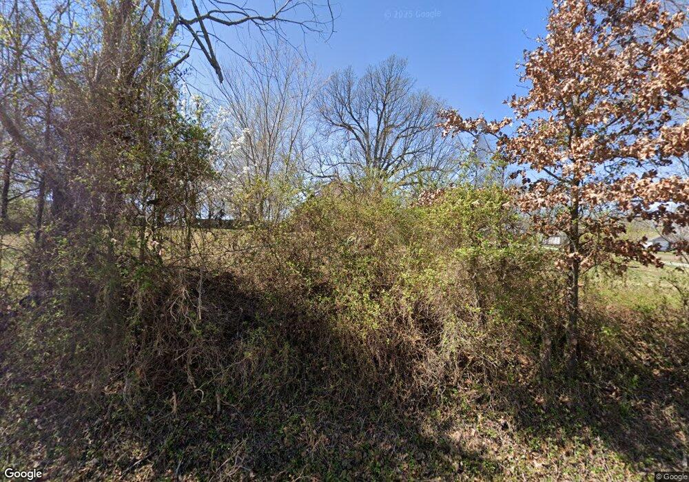
547 N Mantegani Rd Tontitown, AR 72762
Estimated Value: $662,000 - $886,000
--
Bed
1
Bath
3,866
Sq Ft
$210/Sq Ft
Est. Value
About This Home
This home is located at 547 N Mantegani Rd, Tontitown, AR 72762 and is currently estimated at $813,739, approximately $210 per square foot. 547 N Mantegani Rd is a home with nearby schools including Willis Shaw Elementary School, Hellstern Middle School, and Central Junior High School.
Ownership History
Date
Name
Owned For
Owner Type
Purchase Details
Closed on
Jan 14, 2015
Sold by
Kaduchak Philop and Kaduchak Dorinda
Bought by
Kaduchak Philip and Kaduchak Dorinda
Current Estimated Value
Home Financials for this Owner
Home Financials are based on the most recent Mortgage that was taken out on this home.
Original Mortgage
$300,000
Interest Rate
3.12%
Mortgage Type
Adjustable Rate Mortgage/ARM
Create a Home Valuation Report for This Property
The Home Valuation Report is an in-depth analysis detailing your home's value as well as a comparison with similar homes in the area
Home Values in the Area
Average Home Value in this Area
Purchase History
| Date | Buyer | Sale Price | Title Company |
|---|---|---|---|
| Kaduchak Philip | -- | None Available |
Source: Public Records
Mortgage History
| Date | Status | Borrower | Loan Amount |
|---|---|---|---|
| Closed | Kaduchak Philip | $300,000 |
Source: Public Records
Tax History Compared to Growth
Tax History
| Year | Tax Paid | Tax Assessment Tax Assessment Total Assessment is a certain percentage of the fair market value that is determined by local assessors to be the total taxable value of land and additions on the property. | Land | Improvement |
|---|---|---|---|---|
| 2025 | $5,398 | $161,060 | $21,180 | $139,880 |
| 2024 | $5,238 | $161,060 | $21,180 | $139,880 |
| 2023 | $5,185 | $161,060 | $21,180 | $139,880 |
| 2022 | $4,968 | $105,800 | $14,710 | $91,090 |
| 2021 | $4,968 | $105,800 | $14,710 | $91,090 |
| 2020 | $4,867 | $105,800 | $14,710 | $91,090 |
| 2019 | $4,490 | $96,340 | $8,470 | $87,870 |
| 2018 | $4,515 | $96,340 | $8,470 | $87,870 |
| 2017 | $4,419 | $96,340 | $8,470 | $87,870 |
| 2016 | $4,419 | $96,340 | $8,470 | $87,870 |
| 2015 | $4,260 | $96,340 | $8,470 | $87,870 |
| 2014 | $3,951 | $88,573 | $7,870 | $80,703 |
Source: Public Records
Map
Nearby Homes
- 363 N Mantegani Rd
- 1375 Cittadella Ave
- Lot 66 Ardie Martin St
- 1523 Padova Ave
- 410 Brooke St
- 695 Malbec Rd
- 1145 Javello Rd
- 1145 Javello Rd Unit LotWP001
- 470 Brooke St
- 0 Millsap Rd Unit 1318059
- 720 Via Sangro Rd
- 1529 Ardemagni Rd
- 11977 Churchill Downs Dr
- 813 Barolo St
- 1563 Ardemagni Rd
- 873 Lambrusco Blvd
- 11920 Churchill Downs Dr
- 861 Lambrusco Blvd
- 294 Arlington Way
- 859 Bausinger Rd
- 507 N Mantegani Rd
- 493 N Mantegani Rd
- 1262 Cittadella Ave
- 1294 Cittadella Ave
- 1246 Cittadella Ave
- 1216 Cittadella Ave
- 1232 Cittadella Ave
- 0 Hwy 412 Mantigani Rd Unit 600340
- 1308 Cittadella Ave
- 457 Treviso St
- 1326 Cittadella Ave
- 1340 Cittadella Ave
- 0 N Mantegani Dr Unit 599388
- 460 Casella St
- 1356 Cittadella Ave
- 432 Casella St
- 430 Treviso
- 431 Treviso St
- 1473 Liberty Ave
- 458 Treviso St
