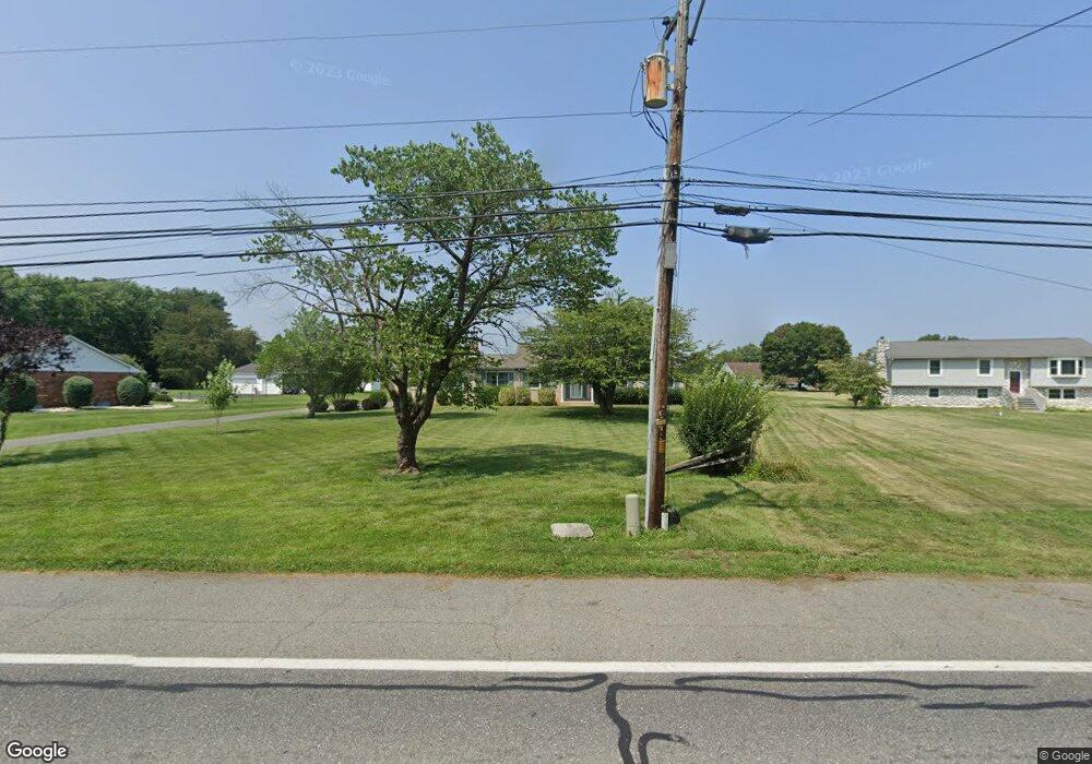
547 Port Penn Rd Middletown, DE 19709
Estimated Value: $433,000 - $469,000
3
Beds
2
Baths
1,537
Sq Ft
$293/Sq Ft
Est. Value
About This Home
This home is located at 547 Port Penn Rd, Middletown, DE 19709 and is currently estimated at $450,471, approximately $293 per square foot. 547 Port Penn Rd is a home located in New Castle County with nearby schools including Southern Elementary School and Gunning Bedford Middle School.
Ownership History
Date
Name
Owned For
Owner Type
Purchase Details
Closed on
Sep 27, 2002
Sold by
Creamer Robert T and Creamer Joyce M
Bought by
Phillips William M and Phillips Karen J
Current Estimated Value
Home Financials for this Owner
Home Financials are based on the most recent Mortgage that was taken out on this home.
Original Mortgage
$109,000
Outstanding Balance
$45,998
Interest Rate
6.25%
Estimated Equity
$404,473
Create a Home Valuation Report for This Property
The Home Valuation Report is an in-depth analysis detailing your home's value as well as a comparison with similar homes in the area
Home Values in the Area
Average Home Value in this Area
Purchase History
| Date | Buyer | Sale Price | Title Company |
|---|---|---|---|
| Phillips William M | $218,000 | -- |
Source: Public Records
Mortgage History
| Date | Status | Borrower | Loan Amount |
|---|---|---|---|
| Open | Phillips William M | $109,000 |
Source: Public Records
Tax History Compared to Growth
Tax History
| Year | Tax Paid | Tax Assessment Tax Assessment Total Assessment is a certain percentage of the fair market value that is determined by local assessors to be the total taxable value of land and additions on the property. | Land | Improvement |
|---|---|---|---|---|
| 2024 | $1,908 | $72,200 | $12,200 | $60,000 |
| 2023 | $1,683 | $72,200 | $12,200 | $60,000 |
| 2022 | $1,789 | $72,200 | $12,200 | $60,000 |
| 2021 | $1,889 | $72,200 | $12,200 | $60,000 |
| 2020 | $1,905 | $72,200 | $12,200 | $60,000 |
| 2019 | $1,900 | $72,200 | $12,200 | $60,000 |
| 2018 | $1,857 | $72,200 | $12,200 | $60,000 |
| 2017 | $1,708 | $72,200 | $12,200 | $60,000 |
| 2016 | $1,384 | $72,200 | $12,200 | $60,000 |
| 2015 | -- | $72,200 | $12,200 | $60,000 |
| 2014 | $1,885 | $72,200 | $12,200 | $60,000 |
Source: Public Records
Map
Nearby Homes
- 301 White Pine Dr
- 243 Sugar Pine Dr
- 133 Pine Valley Dr
- 17 Cedar Ct
- 1521 Lesterfield Way
- 1518 Lesterfield Way
- Kerr Plan at K. Hovnanian’s® Four Seasons at Pennfield
- Aberdeen II Plan at K. Hovnanian’s® Four Seasons at Pennfield
- Carver Plan at K. Hovnanian’s® Four Seasons at Pennfield
- Morse Plan at K. Hovnanian’s® Four Seasons at Pennfield
- Asheville Plan at K. Hovnanian’s® Four Seasons at Pennfield
- 1422 Pennfield Dr
- 0 Port Penn Rd
- 875 Port Penn Rd
- 1381 Pole Bridge Rd
- 110 Sunshine Ln
- 467 Hyetts Corner Rd
- 832 Lissicasey Loop
- 840 Lissicasey Loop
- 325 Great Oak Dr
- 541 Port Penn Rd
- 553 Port Penn Rd
- 561 Port Penn Rd
- 535 Port Penn Rd
- 554 Port Penn Rd
- 567 Port Penn Rd
- 156 Netherlands Dr
- 158 Tulip Ct
- 529 Port Penn Rd
- 154 Netherlands Dr
- 215 Sugar Pine Dr
- 160 Tulip Ct
- 523 Port Penn Rd
- 152 Netherlands Dr
- 571 Port Penn Rd
- 213 Sugar Pine Dr
- 217 Sugar Pine Dr
- 162 Tulip Ct
- 165 Netherlands Dr
- 150 Netherlands Dr
