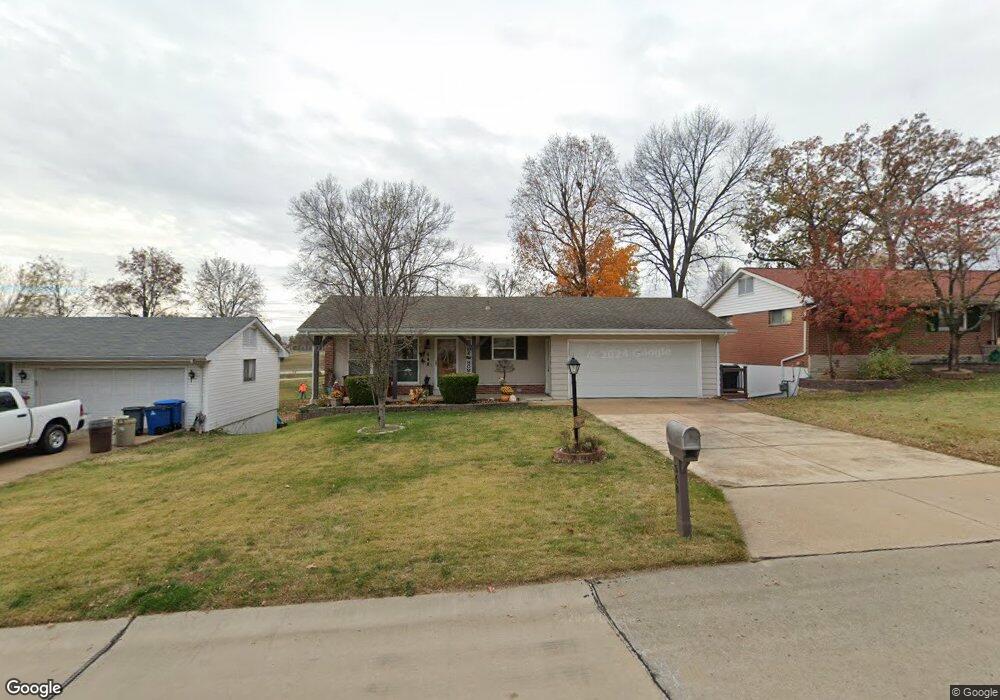
548 Lind Rd Saint Louis, MO 63125
Mehlville NeighborhoodEstimated Value: $261,869 - $274,000
3
Beds
2
Baths
1,176
Sq Ft
$227/Sq Ft
Est. Value
About This Home
This home is located at 548 Lind Rd, Saint Louis, MO 63125 and is currently estimated at $267,467, approximately $227 per square foot. 548 Lind Rd is a home located in St. Louis County with nearby schools including Beasley Elementary School, Margaret Buerkle Middle School, and Mehlville High School.
Ownership History
Date
Name
Owned For
Owner Type
Purchase Details
Closed on
Aug 25, 2005
Sold by
Lee David
Bought by
Foppe Albert J and Foppe Mary Ann E
Current Estimated Value
Home Financials for this Owner
Home Financials are based on the most recent Mortgage that was taken out on this home.
Original Mortgage
$125,200
Outstanding Balance
$65,862
Interest Rate
5.78%
Mortgage Type
Fannie Mae Freddie Mac
Estimated Equity
$201,605
Create a Home Valuation Report for This Property
The Home Valuation Report is an in-depth analysis detailing your home's value as well as a comparison with similar homes in the area
Home Values in the Area
Average Home Value in this Area
Purchase History
| Date | Buyer | Sale Price | Title Company |
|---|---|---|---|
| Foppe Albert J | $156,500 | -- |
Source: Public Records
Mortgage History
| Date | Status | Borrower | Loan Amount |
|---|---|---|---|
| Open | Foppe Albert J | $125,200 |
Source: Public Records
Tax History
| Year | Tax Paid | Tax Assessment Tax Assessment Total Assessment is a certain percentage of the fair market value that is determined by local assessors to be the total taxable value of land and additions on the property. | Land | Improvement |
|---|---|---|---|---|
| 2025 | $2,687 | $47,650 | $14,400 | $33,250 |
| 2024 | $2,687 | $39,880 | $10,410 | $29,470 |
| 2023 | $2,687 | $39,880 | $10,410 | $29,470 |
| 2022 | $2,299 | $34,690 | $9,610 | $25,080 |
| 2021 | $2,225 | $34,690 | $9,610 | $25,080 |
| 2020 | $2,069 | $30,650 | $10,410 | $20,240 |
| 2019 | $2,063 | $30,650 | $10,410 | $20,240 |
| 2018 | $1,943 | $26,050 | $6,840 | $19,210 |
| 2017 | $1,940 | $26,050 | $6,840 | $19,210 |
| 2016 | $1,899 | $24,450 | $5,890 | $18,560 |
| 2015 | $1,744 | $24,450 | $5,890 | $18,560 |
| 2014 | $1,826 | $25,360 | $5,470 | $19,890 |
Source: Public Records
Map
Nearby Homes
- 3228 Lin Tel Rd
- 4130 Monte Vista Dr
- 525 Fairwick Dr
- 851 Poplar Dr
- 701 Chevron Dr
- 2957 Caspian Ln
- 2956 Chevron Dr
- 807 Victory Dr
- 793 Forder Manor Dr
- 767 Paschal Dr
- 105 Sylvia Dr
- 628 Tanya Court Dr
- 1 Berview Cir Unit B
- 1021 Adworth Dr Unit J
- 10 Berview Cir Unit D
- 2844 Westlawn St
- 19 Berview Cir Unit H
- 19 Berview Cir Unit B
- 2818 Redstone Dr
- 2529 Grayford Walk
Your Personal Tour Guide
Ask me questions while you tour the home.