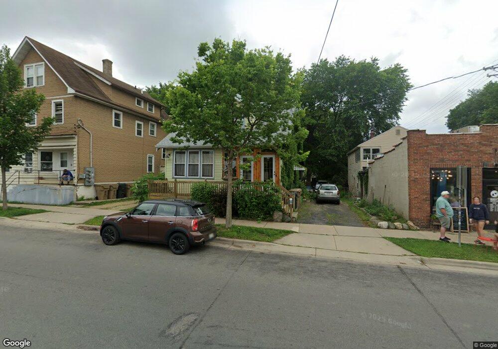
548 North St Unit 1 Madison, WI 53704
Emerson East NeighborhoodEstimated Value: $289,000 - $328,887
4
Beds
1
Bath
1,330
Sq Ft
$231/Sq Ft
Est. Value
About This Home
This home is located at 548 North St Unit 1, Madison, WI 53704 and is currently estimated at $307,222, approximately $230 per square foot. 548 North St Unit 1 is a home located in Dane County with nearby schools including Emerson Elementary School, Sherman Middle School, and East High School.
Ownership History
Date
Name
Owned For
Owner Type
Purchase Details
Closed on
Jul 2, 2007
Sold by
Shaw Mark A and Shaw Cheryl L
Bought by
Carter Brian
Current Estimated Value
Home Financials for this Owner
Home Financials are based on the most recent Mortgage that was taken out on this home.
Original Mortgage
$140,000
Outstanding Balance
$87,138
Interest Rate
6.42%
Mortgage Type
Unknown
Estimated Equity
$220,084
Create a Home Valuation Report for This Property
The Home Valuation Report is an in-depth analysis detailing your home's value as well as a comparison with similar homes in the area
Home Values in the Area
Average Home Value in this Area
Purchase History
| Date | Buyer | Sale Price | Title Company |
|---|---|---|---|
| Carter Brian | $140,000 | None Available |
Source: Public Records
Mortgage History
| Date | Status | Borrower | Loan Amount |
|---|---|---|---|
| Open | Carter Brian | $140,000 |
Source: Public Records
Tax History
| Year | Tax Paid | Tax Assessment Tax Assessment Total Assessment is a certain percentage of the fair market value that is determined by local assessors to be the total taxable value of land and additions on the property. | Land | Improvement |
|---|---|---|---|---|
| 2024 | $12,018 | $275,400 | $105,300 | $170,100 |
| 2023 | $6,940 | $257,400 | $98,400 | $159,000 |
| 2022 | $11,415 | $229,800 | $87,100 | $142,700 |
| 2021 | $5,387 | $201,600 | $76,400 | $125,200 |
| 2020 | $5,211 | $186,700 | $70,700 | $116,000 |
| 2019 | $4,937 | $177,800 | $67,300 | $110,500 |
| 2018 | $5,454 | $174,300 | $67,300 | $107,000 |
| 2017 | $3,909 | $155,600 | $62,900 | $92,700 |
| 2016 | $4,709 | $155,600 | $62,900 | $92,700 |
| 2015 | $3,464 | $142,000 | $55,500 | $86,500 |
| 2014 | $3,362 | $142,000 | $55,500 | $86,500 |
| 2013 | $3,505 | $137,900 | $53,900 | $84,000 |
Source: Public Records
Map
Nearby Homes
- 2670 Hoard St Unit 1
- 2330 Upham St
- 2852 Commercial Ave
- 2528 E Washington Ave
- 914 N Oak St
- 238 Kensington Dr
- 225 Kensington Dr
- 1937 Spohn Ave Unit 1
- 2122 E Johnson St
- 108 N 4th St
- 10 Maple Wood Ln Unit 3
- 816 Melvin Ct Unit 1
- 1842 Spohn Ave
- 1025 Melvin Ct Unit 13
- 3218 Quincy Ave
- 2205 Winnebago St
- 2146 Winnebago St
- 3014 Union St
- 345 Kensington Dr
- 2025 E Dayton St
- 2409 Commercial Ave
- 560 North St
- 546 North St Unit 1
- 546 North St
- 542 North St
- 2401 Commercial Ave
- 2637 Scofield St
- 538 North St
- 2633 Scofield St
- 2629 Scofield St
- 534 North St Unit 1
- 2625 Scofield St
- 549 North St Unit 2
- 545 North St
- 530 North St
- 2621 Scofield St
- 539 North St Unit 1
- 601 North St
- 2617 Scofield St Unit 1
- 526 North St
Your Personal Tour Guide
Ask me questions while you tour the home.