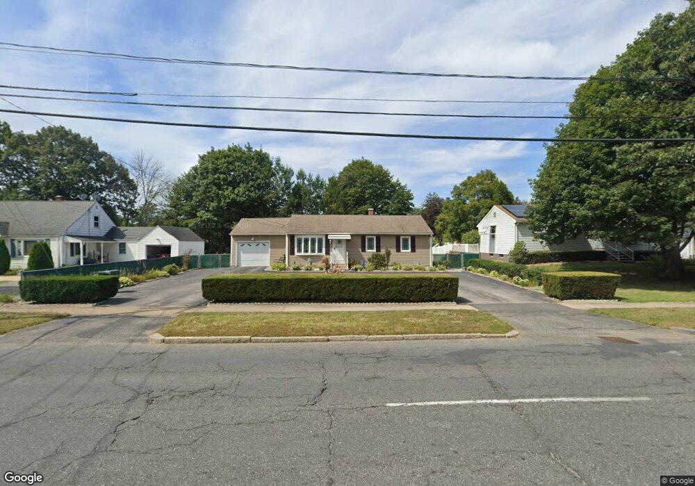
548 Parker St Springfield, MA 01129
Boston Road NeighborhoodEstimated Value: $291,000 - $306,162
3
Beds
1
Bath
1,040
Sq Ft
$287/Sq Ft
Est. Value
About This Home
This home is located at 548 Parker St, Springfield, MA 01129 and is currently estimated at $298,541, approximately $287 per square foot. 548 Parker St is a home located in Hampden County with nearby schools including Warner, M Marcus Kiley Middle, and Springfield Central High School.
Create a Home Valuation Report for This Property
The Home Valuation Report is an in-depth analysis detailing your home's value as well as a comparison with similar homes in the area
Home Values in the Area
Average Home Value in this Area
Tax History
| Year | Tax Paid | Tax Assessment Tax Assessment Total Assessment is a certain percentage of the fair market value that is determined by local assessors to be the total taxable value of land and additions on the property. | Land | Improvement |
|---|---|---|---|---|
| 2025 | $3,780 | $241,100 | $46,300 | $194,800 |
| 2024 | $3,721 | $231,700 | $43,400 | $188,300 |
| 2023 | $3,596 | $210,900 | $41,300 | $169,600 |
| 2022 | $3,374 | $179,300 | $41,300 | $138,000 |
| 2021 | $3,349 | $177,200 | $37,500 | $139,700 |
| 2020 | $3,107 | $159,100 | $37,500 | $121,600 |
| 2019 | $2,867 | $145,700 | $37,500 | $108,200 |
| 2018 | $2,808 | $142,700 | $37,500 | $105,200 |
| 2017 | $2,642 | $134,400 | $37,500 | $96,900 |
| 2016 | $2,550 | $129,700 | $37,500 | $92,200 |
| 2015 | $2,614 | $132,900 | $37,500 | $95,400 |
Source: Public Records
Map
Nearby Homes
Your Personal Tour Guide
Ask me questions while you tour the home.