Estimated Value: $946,580 - $1,278,000
2
Beds
2
Baths
1,880
Sq Ft
$581/Sq Ft
Est. Value
About This Home
This home is located at 548 Rattlesnake Island, Alton, NH 03810 and is currently estimated at $1,091,645, approximately $580 per square foot. 548 Rattlesnake Island is a home located in Belknap County with nearby schools including Alton Central School (Elem) and Prospect Mountain High School.
Ownership History
Date
Name
Owned For
Owner Type
Purchase Details
Closed on
Oct 15, 2008
Sold by
Digaetano Michael J and Digaetano Sandra G
Bought by
Wilkinson Mark A
Current Estimated Value
Home Financials for this Owner
Home Financials are based on the most recent Mortgage that was taken out on this home.
Original Mortgage
$296,000
Outstanding Balance
$196,645
Interest Rate
6.41%
Mortgage Type
Purchase Money Mortgage
Estimated Equity
$895,000
Create a Home Valuation Report for This Property
The Home Valuation Report is an in-depth analysis detailing your home's value as well as a comparison with similar homes in the area
Home Values in the Area
Average Home Value in this Area
Purchase History
| Date | Buyer | Sale Price | Title Company |
|---|---|---|---|
| Wilkinson Mark A | $370,000 | -- |
Source: Public Records
Mortgage History
| Date | Status | Borrower | Loan Amount |
|---|---|---|---|
| Open | Wilkinson Mark A | $296,000 | |
| Previous Owner | Wilkinson Mark A | $130,000 |
Source: Public Records
Tax History Compared to Growth
Tax History
| Year | Tax Paid | Tax Assessment Tax Assessment Total Assessment is a certain percentage of the fair market value that is determined by local assessors to be the total taxable value of land and additions on the property. | Land | Improvement |
|---|---|---|---|---|
| 2024 | $7,985 | $615,200 | $434,600 | $180,600 |
| 2022 | $6,995 | $615,200 | $434,600 | $180,600 |
| 2021 | $7,001 | $615,200 | $434,600 | $180,600 |
| 2020 | $5,962 | $427,400 | $243,100 | $184,300 |
| 2019 | $5,347 | $427,400 | $243,100 | $184,300 |
| 2018 | $5,979 | $427,400 | $243,100 | $184,300 |
| 2017 | $5,496 | $427,400 | $243,100 | $184,300 |
| 2016 | $5,350 | $378,100 | $213,400 | $164,700 |
| 2015 | $4,556 | $319,300 | $213,400 | $105,900 |
| 2014 | $4,523 | $326,600 | $220,800 | $105,800 |
| 2013 | $4,513 | $335,800 | $214,800 | $121,000 |
Source: Public Records
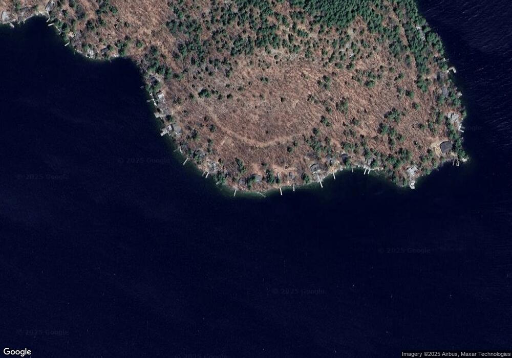
Map
Nearby Homes
- Lot 36 Mauhaut Shores Rd
- 0 Parker Island Rd Unit 10
- 20 Wyman Dr
- 1425 Mount Major Hwy
- 208 Forest Rd
- 195 Sewall Rd
- 36-3 Checkerberry Ln
- 120 Big Barndoor Island
- 180 Sewall Rd
- 3 Cedar Dr
- 104 Hopewell Rd
- 38 Spy Gold Ln
- 101 Tuftonboro Neck Rd
- 25 Clay Point Rd
- 427 N Main St
- 222 N Main St
- 34 Harbor Way Unit 27
- 17 Waumbeck Rd
- 1256 Cherry Valley Rd
- 163 Clark Rd
- 544 Rattlesnake Island
- 554 Rattlesnake Island
- 540 Rattlesnake Island
- 556 Rattlesnake Island
- 562 Rattlesnake Island
- 536 Rattlesnake Island
- 566 Rattlesnake Island
- 532 Rattlesnake Island
- 528 Rattlesnake Island
- 570 Rattlesnake Island
- 574 Rattlesnake Island
- 524 Rattlesnake Island
- 520 Rattlesnake Island
- 516 Rattlesnake Island
- 514 Rattlesnake Island
- 514 Rattlesnake Island
- 584 Rattlesnake Island
- 606 Rattlesnake Island
- 616 Rattlesnake Island
- 620 Rattlesnake Island