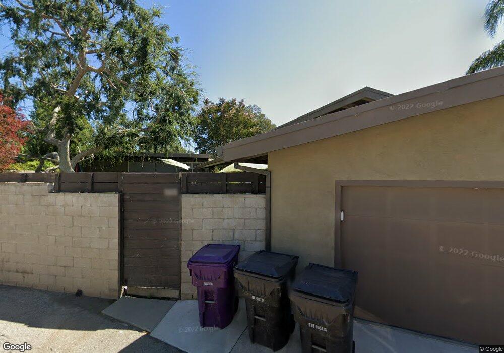
5485 E Anaheim Rd Long Beach, CA 90815
Park Estates NeighborhoodEstimated Value: $1,575,000 - $2,320,156
3
Beds
3
Baths
3,098
Sq Ft
$631/Sq Ft
Est. Value
About This Home
This home is located at 5485 E Anaheim Rd, Long Beach, CA 90815 and is currently estimated at $1,954,289, approximately $630 per square foot. 5485 E Anaheim Rd is a home located in Los Angeles County with nearby schools including Minnie Gant Elementary School, Stanford Middle School, and Woodrow Wilson High School.
Ownership History
Date
Name
Owned For
Owner Type
Purchase Details
Closed on
Mar 12, 2014
Sold by
Carson Steven Gray
Bought by
Carson Guthrie Family Trust
Current Estimated Value
Purchase Details
Closed on
Dec 16, 1999
Sold by
Sandhoff Geraldine Decd Est Of
Bought by
Carson Steve G and Carson Leslie R
Home Financials for this Owner
Home Financials are based on the most recent Mortgage that was taken out on this home.
Original Mortgage
$300,000
Interest Rate
8.06%
Create a Home Valuation Report for This Property
The Home Valuation Report is an in-depth analysis detailing your home's value as well as a comparison with similar homes in the area
Home Values in the Area
Average Home Value in this Area
Purchase History
| Date | Buyer | Sale Price | Title Company |
|---|---|---|---|
| Carson Guthrie Family Trust | -- | None Available | |
| Carson Steven Gray | -- | None Available | |
| Carson Steve G | $450,000 | Gateway Title |
Source: Public Records
Mortgage History
| Date | Status | Borrower | Loan Amount |
|---|---|---|---|
| Previous Owner | Carson Steve G | $300,000 |
Source: Public Records
Tax History
| Year | Tax Paid | Tax Assessment Tax Assessment Total Assessment is a certain percentage of the fair market value that is determined by local assessors to be the total taxable value of land and additions on the property. | Land | Improvement |
|---|---|---|---|---|
| 2025 | $12,230 | $952,383 | $480,758 | $471,625 |
| 2024 | $12,230 | $933,710 | $471,332 | $462,378 |
| 2023 | $12,031 | $915,403 | $462,091 | $453,312 |
| 2022 | $11,296 | $897,455 | $453,031 | $444,424 |
| 2021 | $11,071 | $879,859 | $444,149 | $435,710 |
| 2019 | $10,913 | $853,764 | $430,976 | $422,788 |
| 2018 | $10,536 | $837,025 | $422,526 | $414,499 |
| 2016 | $9,677 | $804,524 | $406,120 | $398,404 |
| 2015 | $9,286 | $994,480 | $657,887 | $336,593 |
| 2014 | $9,137 | $776,919 | $392,185 | $384,734 |
Source: Public Records
Map
Nearby Homes
- 5440 E La Pasada St
- 1205 Bryant Rd
- 790 Santiago Ave
- 5585 E Pacific Coast Hwy Unit 343
- 5585 E Pacific Coast Hwy Unit 342
- 5585 E Pacific Coast Hwy Unit 171
- 5585 E Pacific Coast Hwy Unit 353
- 5585 E Pacific Coast Hwy Unit 125
- 5585 E Pacific Coast Hwy Unit 361
- 5585 E Pacific Coast Hwy Unit 154
- 5585 E Pacific Coast Hwy Unit 260
- 735 Ultimo Ave
- 730 Santiago Ave
- 1507 Ramillo Ave
- 1591 Ramillo Ave
- 5300 E Atherton St Unit 2F
- 4835 E Anaheim St Unit 101
- 431 Terraine Ave
- 5110 E Atherton St Unit 62
- 4701 E Anaheim St Unit 304
- 5485 E Anaheim Rd
- 5481 E Anaheim Rd
- 5475 E Anaheim Rd
- 5489 E Anaheim Rd
- 5530 E La Pasada St
- 5520 E La Pasada St
- 5469 E Anaheim Rd
- 5540 E La Pasada St
- 5493 E Anaheim Rd
- 5550 E La Pasada St
- 5463 E Anaheim Rd
- 5505 E Anaheim Rd
- 5506 E La Pasada St
- 1121 El Mirador Ave
- 5480 E Anaheim Rd
- 5560 E La Pasada St
- 1120 El Mirador Ave
- 5457 E Anaheim Rd
- 1181 Bryant Rd
- 5500 E La Pasada St
Your Personal Tour Guide
Ask me questions while you tour the home.