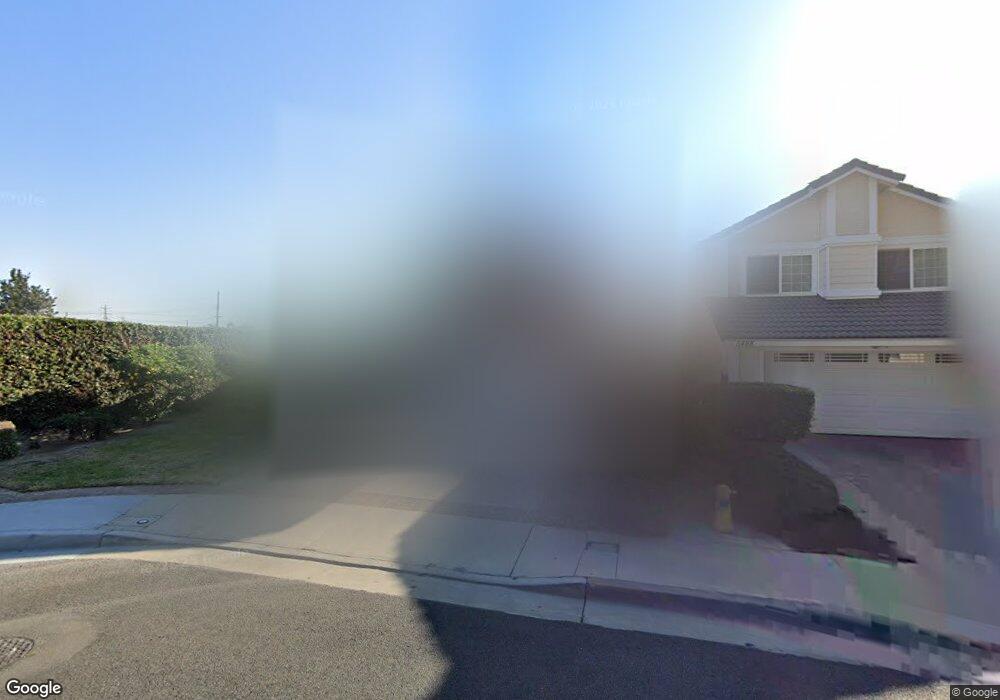
5498 Houston Ave La Palma, CA 90623
Estimated Value: $1,185,719 - $1,741,000
4
Beds
3
Baths
2,375
Sq Ft
$590/Sq Ft
Est. Value
About This Home
This home is located at 5498 Houston Ave, La Palma, CA 90623 and is currently estimated at $1,400,430, approximately $589 per square foot. 5498 Houston Ave is a home located in Orange County with nearby schools including George B. Miller Elementary School, Walker Junior High School, and John F. Kennedy High School.
Ownership History
Date
Name
Owned For
Owner Type
Purchase Details
Closed on
Mar 28, 2002
Sold by
Fong Sam K and Fong Miranda T
Bought by
Min Tae Jong
Current Estimated Value
Home Financials for this Owner
Home Financials are based on the most recent Mortgage that was taken out on this home.
Original Mortgage
$415,000
Outstanding Balance
$175,960
Interest Rate
7.13%
Mortgage Type
Stand Alone First
Estimated Equity
$1,224,470
Create a Home Valuation Report for This Property
The Home Valuation Report is an in-depth analysis detailing your home's value as well as a comparison with similar homes in the area
Home Values in the Area
Average Home Value in this Area
Purchase History
| Date | Buyer | Sale Price | Title Company |
|---|---|---|---|
| Min Tae Jong | $415,000 | Commonwealth Land Title |
Source: Public Records
Mortgage History
| Date | Status | Borrower | Loan Amount |
|---|---|---|---|
| Open | Min Tae Jong | $415,000 |
Source: Public Records
Tax History Compared to Growth
Tax History
| Year | Tax Paid | Tax Assessment Tax Assessment Total Assessment is a certain percentage of the fair market value that is determined by local assessors to be the total taxable value of land and additions on the property. | Land | Improvement |
|---|---|---|---|---|
| 2025 | $7,045 | $613,071 | $340,603 | $272,468 |
| 2024 | $7,045 | $601,050 | $333,924 | $267,126 |
| 2023 | $6,872 | $589,265 | $327,376 | $261,889 |
| 2022 | $6,789 | $577,711 | $320,957 | $256,754 |
| 2021 | $6,693 | $566,384 | $314,664 | $251,720 |
| 2020 | $6,655 | $560,577 | $311,438 | $249,139 |
| 2019 | $6,486 | $549,586 | $305,332 | $244,254 |
| 2018 | $6,369 | $538,810 | $299,345 | $239,465 |
| 2017 | $6,168 | $528,246 | $293,476 | $234,770 |
| 2016 | $6,051 | $517,889 | $287,722 | $230,167 |
| 2015 | $5,985 | $510,110 | $283,400 | $226,710 |
| 2014 | $5,682 | $500,118 | $277,848 | $222,270 |
Source: Public Records
Map
Nearby Homes
- 5568 Ozawa Cir
- 7442 Susan Cir
- 5412 Bransford Dr
- 5686 Panama Dr
- 5836 Trinidad Way
- 5072 Alder Ln
- 5212 Lena Dr
- 19118 Martha Ave
- 8011 Rose St
- 5201 La Luna Dr
- 5837 Los Arcos Way
- 7571 San Rafael Dr
- 18517 Betty Way
- 13435 Cascade Ct
- 19008 Jeffrey Ave
- 7862 Squaw Valley Way
- 13522 Carnaby St
- 8451 San Clemente Way
- 8312 Bellhaven St
- 5166 Banbury Cir
- 5488 Houston Ave
- 5478 Houston Ave
- 5479 Dirk Cir
- 5489 Dirk Cir
- 5468 Houston Ave
- 5511 Paraguay Dr
- 5506 Paraguay Dr
- 5469 Dirk Cir
- 5458 Houston Ave
- 5499 Dirk Cir
- 5502 Oak Dr
- 7351 Dallas Dr
- 5459 Dirk Cir
- 5521 Paraguay Dr
- 5516 Paraguay Dr Unit B
- 5516 Paraguay Dr
- 5511 Panama Dr
- 7361 Dallas Dr
- 5448 Houston Ave
- 5512 Oak Dr