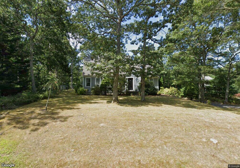
55 Anne Way Brewster, MA 02631
Estimated Value: $676,000 - $772,000
3
Beds
2
Baths
1,536
Sq Ft
$476/Sq Ft
Est. Value
About This Home
This home is located at 55 Anne Way, Brewster, MA 02631 and is currently estimated at $731,668, approximately $476 per square foot. 55 Anne Way is a home located in Barnstable County with nearby schools including Nauset Regional Middle School, Nauset Regional High School, and Latham School.
Ownership History
Date
Name
Owned For
Owner Type
Purchase Details
Closed on
Jul 27, 1995
Sold by
Hodges Carolyn S
Bought by
Ketchum Ernest F and Ketchum Kathleen G
Current Estimated Value
Home Financials for this Owner
Home Financials are based on the most recent Mortgage that was taken out on this home.
Original Mortgage
$103,380
Interest Rate
7.56%
Mortgage Type
Purchase Money Mortgage
Create a Home Valuation Report for This Property
The Home Valuation Report is an in-depth analysis detailing your home's value as well as a comparison with similar homes in the area
Home Values in the Area
Average Home Value in this Area
Purchase History
| Date | Buyer | Sale Price | Title Company |
|---|---|---|---|
| Ketchum Ernest F | $115,000 | -- |
Source: Public Records
Mortgage History
| Date | Status | Borrower | Loan Amount |
|---|---|---|---|
| Closed | Ketchum Ernest F | $103,380 |
Source: Public Records
Tax History Compared to Growth
Tax History
| Year | Tax Paid | Tax Assessment Tax Assessment Total Assessment is a certain percentage of the fair market value that is determined by local assessors to be the total taxable value of land and additions on the property. | Land | Improvement |
|---|---|---|---|---|
| 2025 | $4,214 | $612,500 | $258,100 | $354,400 |
| 2024 | $4,114 | $604,100 | $264,700 | $339,400 |
| 2023 | $3,774 | $539,900 | $236,300 | $303,600 |
| 2022 | $3,567 | $454,400 | $196,900 | $257,500 |
| 2021 | $0 | $396,800 | $171,100 | $225,700 |
| 2020 | $3,229 | $374,600 | $157,500 | $217,100 |
| 2019 | $0 | $354,300 | $144,900 | $209,400 |
| 2018 | $2,882 | $348,900 | $144,900 | $204,000 |
| 2017 | $0 | $322,400 | $144,900 | $177,500 |
| 2016 | $2,577 | $305,700 | $129,100 | $176,600 |
| 2015 | $2,471 | $299,100 | $126,600 | $172,500 |
Source: Public Records
Map
Nearby Homes
- 728 Great Fields Rd
- 597 Great Fields Rd
- 52 Bettys Ln
- 30 Fox Crossing Rd
- 309 Great Fields Rd
- 120 Red Maple Rd
- 272 Sheep Pond Dr
- 14 2nd St
- 1424 Main St
- 33 Captain William Arthur Rd
- 1580 Main St
- 16 Long Pond Dr
- 958 Long Pond Rd
- 55 Leona Terrace
- 0 Canoe Pond Dr
- 43 Billington Ln
- 43 Billington Ln Unit 43
- 21 Sea Meadow Ln