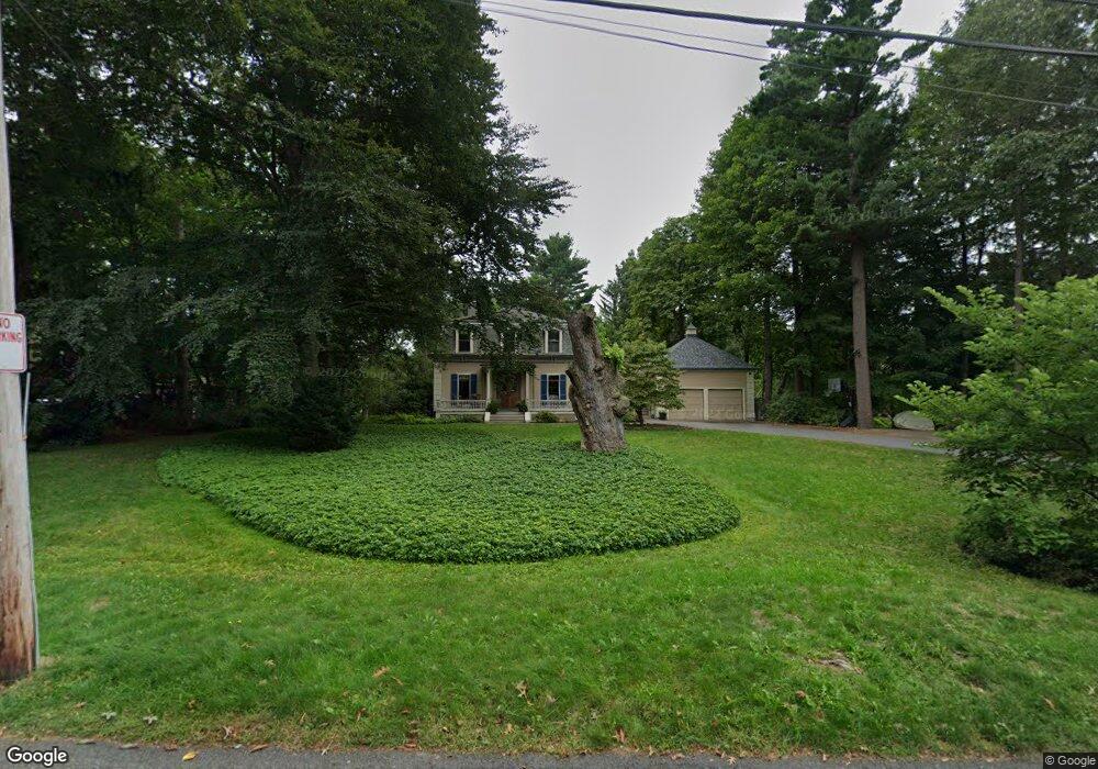
55 Aspen Ave Auburndale, MA 02466
Auburndale NeighborhoodEstimated Value: $1,802,000 - $2,813,000
3
Beds
4
Baths
2,862
Sq Ft
$858/Sq Ft
Est. Value
About This Home
This home is located at 55 Aspen Ave, Auburndale, MA 02466 and is currently estimated at $2,456,503, approximately $858 per square foot. 55 Aspen Ave is a home located in Middlesex County with nearby schools including Williams Elementary School, Charles E Brown Middle School, and Newton South High School.
Ownership History
Date
Name
Owned For
Owner Type
Purchase Details
Closed on
Jun 22, 1994
Sold by
Fallon John T and Fallon Kathleen A
Bought by
Moore Timothy P and Moore Deborah W
Current Estimated Value
Home Financials for this Owner
Home Financials are based on the most recent Mortgage that was taken out on this home.
Original Mortgage
$250,000
Interest Rate
8.74%
Mortgage Type
Purchase Money Mortgage
Create a Home Valuation Report for This Property
The Home Valuation Report is an in-depth analysis detailing your home's value as well as a comparison with similar homes in the area
Home Values in the Area
Average Home Value in this Area
Purchase History
| Date | Buyer | Sale Price | Title Company |
|---|---|---|---|
| Moore Timothy P | $647,200 | -- |
Source: Public Records
Mortgage History
| Date | Status | Borrower | Loan Amount |
|---|---|---|---|
| Closed | Moore Timothy P | $250,000 |
Source: Public Records
Tax History Compared to Growth
Tax History
| Year | Tax Paid | Tax Assessment Tax Assessment Total Assessment is a certain percentage of the fair market value that is determined by local assessors to be the total taxable value of land and additions on the property. | Land | Improvement |
|---|---|---|---|---|
| 2025 | $27,295 | $2,785,200 | $1,861,400 | $923,800 |
| 2024 | $26,392 | $2,704,100 | $1,807,200 | $896,900 |
| 2023 | $25,207 | $2,476,100 | $1,474,600 | $1,001,500 |
| 2022 | $24,119 | $2,292,700 | $1,365,400 | $927,300 |
| 2021 | $23,273 | $2,162,900 | $1,288,100 | $874,800 |
| 2020 | $22,581 | $2,162,900 | $1,288,100 | $874,800 |
| 2019 | $21,944 | $2,099,900 | $1,250,600 | $849,300 |
| 2018 | $20,756 | $1,918,300 | $1,098,200 | $820,100 |
| 2017 | $20,124 | $1,809,700 | $1,036,000 | $773,700 |
| 2016 | $19,247 | $1,691,300 | $968,200 | $723,100 |
| 2015 | $17,421 | $1,500,500 | $904,900 | $595,600 |
Source: Public Records
Map
Nearby Homes
- 283 Woodland Rd
- 17 Lasell St
- 1754 Washington St
- 27 Oakwood Rd
- 224 Auburn St Unit 224
- 224 Auburn St Unit A
- 226 Auburn St Unit 226
- 1639 Washington St
- 283 Melrose St
- 13 Weir St
- 1640 Commonwealth Ave
- 2084 Washington St
- 17 Gilbert St
- 2202 Commonwealth Ave Unit 2
- 2202 Commonwealth Ave Unit 1
- 51 Bourne St
- 10 Lorraine Cir
- 17 Deforest Rd
- 62-64 Rowe St Unit B
- 0 Duncan Rd Unit 72925240
- 63 Aspen Ave
- 41 Aspen Ave
- 98 Hawthorne Ave
- 96 Hawthorne Ave
- 110 Hawthorne Ave
- 81 Vista Ave
- 75 Aspen Ave
- 50 Aspen Ave
- 33 Aspen Ave
- 83 Aspen Ave
- 101 Hawthorne Ave
- 107 Hawthorne Ave
- 71 Vista Ave
- 111 Hawthorne Ave
- 27 Aspen Ave
- 78 Hawthorne Ave
- 78 Hawthorn St
- 85 Hawthorne Ave
- 79 Hawthorne Ave
- 91 Aspen Ave