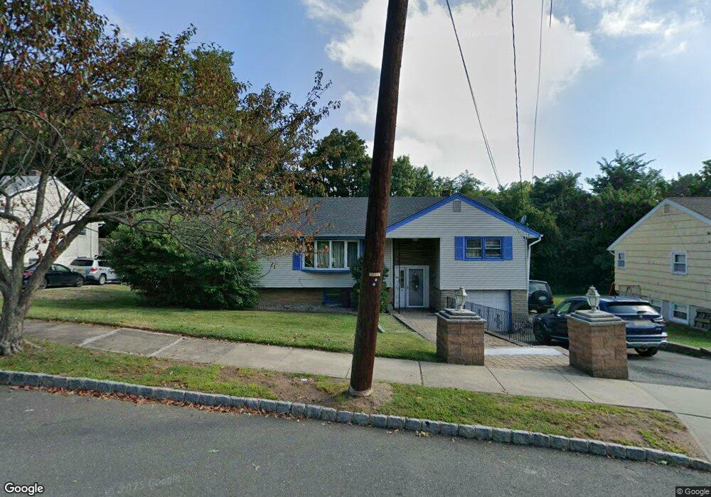
55 Brookside Rd West Orange, NJ 07052
Estimated Value: $695,273 - $931,000
Studio
--
Bath
2,546
Sq Ft
$320/Sq Ft
Est. Value
About This Home
This home is located at 55 Brookside Rd, West Orange, NJ 07052 and is currently estimated at $814,068, approximately $319 per square foot. 55 Brookside Rd is a home located in Essex County with nearby schools including West Orange High School, Golda Och Academy Lower School, and Mount Carmel Guild Academy.
Ownership History
Date
Name
Owned For
Owner Type
Purchase Details
Closed on
Mar 14, 2014
Sold by
Njoku Chinyere F and Njoku Uzodinma
Bought by
Njoku Chinedu J and Njoku Chinyere F
Current Estimated Value
Purchase Details
Closed on
Jul 19, 2001
Sold by
City Of Orange
Bought by
Njoku Uzodimma
Purchase Details
Closed on
Oct 31, 1996
Sold by
Maresca Carmella
Bought by
Njoku Chinyere and Njoku Uzodinma
Home Financials for this Owner
Home Financials are based on the most recent Mortgage that was taken out on this home.
Original Mortgage
$140,000
Interest Rate
7.81%
Create a Home Valuation Report for This Property
The Home Valuation Report is an in-depth analysis detailing your home's value as well as a comparison with similar homes in the area
Home Values in the Area
Average Home Value in this Area
Purchase History
| Date | Buyer | Sale Price | Title Company |
|---|---|---|---|
| Njoku Chinedu J | -- | None Available | |
| Njoku Uzodimma | $51,000 | -- | |
| Njoku Chinyere | $155,000 | -- |
Source: Public Records
Mortgage History
| Date | Status | Borrower | Loan Amount |
|---|---|---|---|
| Previous Owner | Njoku Chinyere | $140,000 | |
| Closed | Njoku Chinedu J | -- |
Source: Public Records
Tax History
| Year | Tax Paid | Tax Assessment Tax Assessment Total Assessment is a certain percentage of the fair market value that is determined by local assessors to be the total taxable value of land and additions on the property. | Land | Improvement |
|---|---|---|---|---|
| 2025 | $16,450 | $595,600 | $268,600 | $327,000 |
| 2024 | $16,148 | $351,200 | $149,900 | $201,300 |
| 2022 | $15,583 | $351,200 | $149,900 | $201,300 |
| 2021 | $15,291 | $351,200 | $149,900 | $201,300 |
| 2020 | $15,045 | $351,200 | $149,900 | $201,300 |
| 2019 | $14,613 | $351,200 | $149,900 | $201,300 |
| 2018 | $14,181 | $351,200 | $149,900 | $201,300 |
| 2017 | $13,999 | $351,200 | $149,900 | $201,300 |
| 2016 | $13,662 | $351,200 | $149,900 | $201,300 |
| 2015 | $13,405 | $351,200 | $149,900 | $201,300 |
| 2014 | $13,142 | $351,200 | $149,900 | $201,300 |
Source: Public Records
Map
Nearby Homes
- 60 Wildwood Ave
- 27 Fairway Dr
- 37 Gregory Ave
- 41 Park Way
- 3 Brook Way
- 209 Cerrutti Ct
- 2 Ridge Rd
- 80 Lindsley Ave
- 11 Cerone Ct
- 252 Crescenzi Ct Unit 252
- 254 Crescenzi Ct
- 279 De Rose Ct Unit 279
- 80 Glen Ave
- 57 Musano Ct Unit 5
- 107 Main St
- 258 De Rose Ct Unit 258
- 29 White St
- 32 Edisonia Terrace
- 50 Ridgehurst Rd
- 10 Glennon Place
- 57 Brookside Rd
- 53 Brookside Rd
- 51 Brookside Rd
- 1 Highland Place
- 59 Brookside Rd
- 8 Gregory Ave
- 49 Brookside Rd
- 2 Gregory Ave
- 50 Brookside Rd
- 3 Highland Place
- 10 Gregory Ave
- 17 Byrne Rd
- 7 Gregory Ave
- 11 Gregory Ave
- 5 Gregory Ave
- 1 Clearview Terrace
- 5 Highland Place
- 3 Gregory Ave
- 15 Gregory Ave
- 1 Gregory Ave
Your Personal Tour Guide
Ask me questions while you tour the home.