55 Lighthouse Ln Moultonborough, NH 03254
Estimated Value: $2,957,000 - $4,807,000
5
Beds
5
Baths
4,600
Sq Ft
$834/Sq Ft
Est. Value
About This Home
This home is located at 55 Lighthouse Ln, Moultonborough, NH 03254 and is currently estimated at $3,834,800, approximately $833 per square foot. 55 Lighthouse Ln is a home located in Carroll County with nearby schools including Moultonborough Central School and Moultonborough Academy High School.
Create a Home Valuation Report for This Property
The Home Valuation Report is an in-depth analysis detailing your home's value as well as a comparison with similar homes in the area
Home Values in the Area
Average Home Value in this Area
Tax History Compared to Growth
Tax History
| Year | Tax Paid | Tax Assessment Tax Assessment Total Assessment is a certain percentage of the fair market value that is determined by local assessors to be the total taxable value of land and additions on the property. | Land | Improvement |
|---|---|---|---|---|
| 2024 | $19,937 | $3,528,600 | $2,404,800 | $1,123,800 |
| 2023 | $18,511 | $3,247,600 | $2,147,800 | $1,099,800 |
| 2022 | $13,187 | $2,758,800 | $1,759,000 | $999,800 |
| 2021 | $15,493 | $2,219,600 | $1,349,500 | $870,100 |
| 2020 | $13,814 | $1,937,500 | $1,119,400 | $818,100 |
| 2019 | $13,432 | $1,878,600 | $1,089,200 | $789,400 |
| 2018 | $13,193 | $1,708,900 | $933,600 | $775,300 |
| 2017 | $13,728 | $1,670,100 | $933,600 | $736,500 |
| 2016 | $14,374 | $1,644,600 | $950,000 | $694,600 |
| 2015 | $14,193 | $1,575,200 | $950,000 | $625,200 |
| 2014 | $14,293 | $1,613,200 | $981,700 | $631,500 |
| 2013 | $14,073 | $1,619,500 | $981,700 | $637,800 |
Source: Public Records
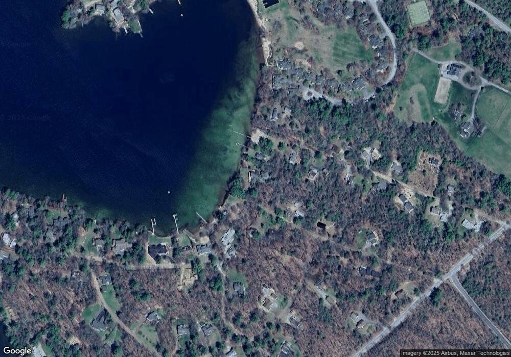
Map
Nearby Homes
- 29 Kona Farm Rd
- 203 Krainewood Dr
- 30 Leopards Leap
- 22 Tiger Trail
- 5 Ferry Rd
- 33 Blackadar Ln
- 320 Redding Ln
- 122 Toltec Point Rd
- 31 Rays Way
- 1 Little Beaver Island
- 21 Orton Ln
- 11 Geery Ln
- 244 Wentworth Shores Rd
- 4 Schneider Rd
- 2 Little Badger Island
- 41 Saint Gallen St
- 525 Whittier Hwy
- 27 First Point Rd
- 28 Moose Walk
- 16 Myrtle Dr
- 53 Lighthouse Ln
- 47 Lighthouse Ln
- 36 Bay Rd
- 41 Lighthouse Ln
- 39 Bay Rd
- 50 Lighthouse Ln
- 38 Kona Bay Rd
- 28 Bay Rd
- 38 Lighthouse Ln
- 40 Kona Bay Rd
- 35 Lighthouse Ln
- 44 Kona Bay Rd
- 34 Kona Bay Rd
- 46 Kona Bay Rd
- 34 Lighthouse Ln
- 20 Lighthouse Ln
- 43 Kona Bay Rd
- 25 Lighthouse Ln
- LOT D Lighthouse Ln
- 22 Bay Rd