55 Patch Hill Rd Boxborough, MA 01719
Estimated Value: $939,000 - $1,246,000
4
Beds
3
Baths
2,940
Sq Ft
$371/Sq Ft
Est. Value
About This Home
This home is located at 55 Patch Hill Rd, Boxborough, MA 01719 and is currently estimated at $1,091,694, approximately $371 per square foot. 55 Patch Hill Rd is a home located in Middlesex County with nearby schools including Acton-Boxborough Regional High School.
Ownership History
Date
Name
Owned For
Owner Type
Purchase Details
Closed on
Feb 14, 2023
Sold by
Richard & Lauren Grady Lt
Bought by
Grady Rt
Current Estimated Value
Purchase Details
Closed on
Apr 11, 2022
Sold by
Grady Richard K and Grady Lauren E
Bought by
Richard & Lauren Grady Lt
Purchase Details
Closed on
Nov 15, 1993
Sold by
Compass Bldrs Inc
Bought by
Grady Richard K and Grady Lauren E
Create a Home Valuation Report for This Property
The Home Valuation Report is an in-depth analysis detailing your home's value as well as a comparison with similar homes in the area
Home Values in the Area
Average Home Value in this Area
Purchase History
| Date | Buyer | Sale Price | Title Company |
|---|---|---|---|
| Grady Rt | -- | None Available | |
| Richard & Lauren Grady Lt | -- | None Available | |
| Grady Richard K | $374,640 | -- |
Source: Public Records
Mortgage History
| Date | Status | Borrower | Loan Amount |
|---|---|---|---|
| Previous Owner | Grady Richard K | $340,000 | |
| Previous Owner | Grady Richard K | $100,000 | |
| Previous Owner | Grady Richard K | $25,000 | |
| Previous Owner | Grady Richard K | $24,000 |
Source: Public Records
Tax History
| Year | Tax Paid | Tax Assessment Tax Assessment Total Assessment is a certain percentage of the fair market value that is determined by local assessors to be the total taxable value of land and additions on the property. | Land | Improvement |
|---|---|---|---|---|
| 2025 | $14,798 | $977,400 | $299,000 | $678,400 |
| 2024 | $13,668 | $911,800 | $287,400 | $624,400 |
| 2023 | $13,118 | $845,200 | $258,900 | $586,300 |
| 2022 | $12,659 | $726,700 | $258,900 | $467,800 |
| 2020 | $11,428 | $683,500 | $258,900 | $424,600 |
| 2019 | $11,223 | $683,500 | $258,900 | $424,600 |
| 2018 | $10,643 | $647,400 | $246,700 | $400,700 |
| 2017 | $10,671 | $634,800 | $246,700 | $388,100 |
| 2016 | $10,128 | $619,100 | $246,700 | $372,400 |
| 2015 | $10,200 | $612,600 | $246,300 | $366,300 |
| 2014 | $10,289 | $581,600 | $243,800 | $337,800 |
Source: Public Records
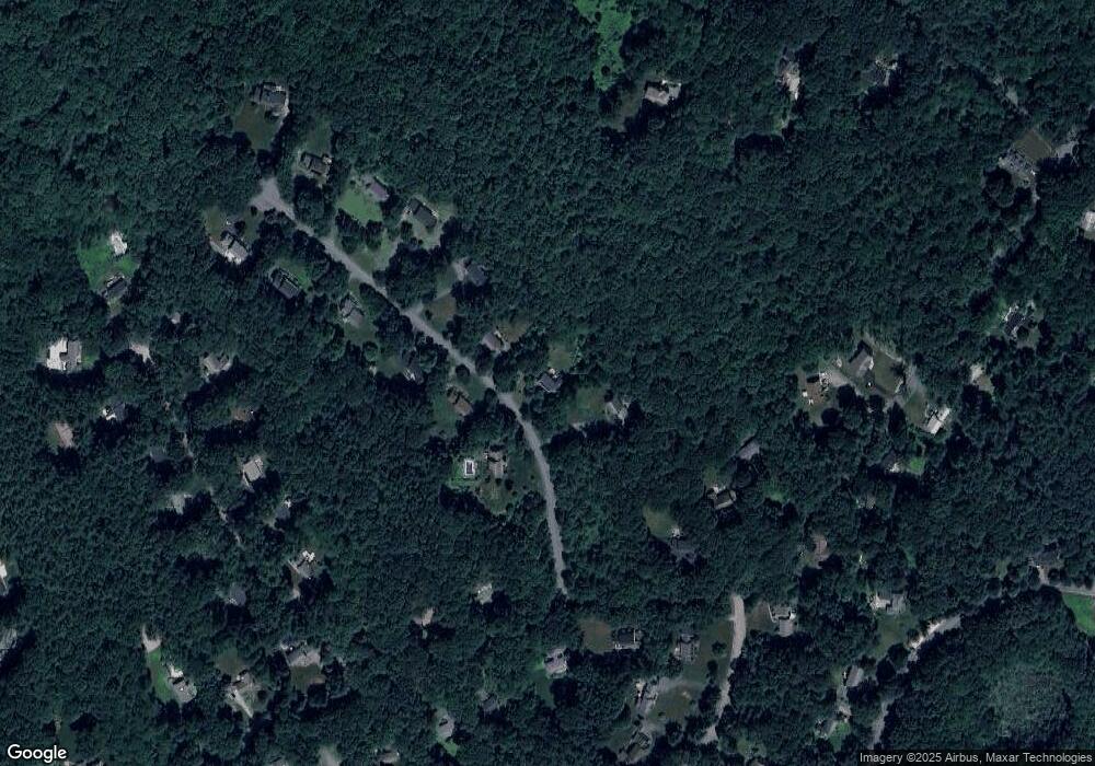
Map
Nearby Homes
- 79 Old Orchard Ln
- 959 Hill Rd
- 36 Leonard Rd
- 4 Littlefield Rd
- 20 Lyons Ln Unit 20
- 77 Wheeler Dr Unit 77
- 60 Nashoba Rd
- 235 Arlington St
- 50 Spencer Rd Unit 12L
- 15 Spencer Rd Unit 12E
- 5 Perkins Ln
- 40 Fifers Ln
- 220 Swanson Rd Unit 605
- 220 Swanson Rd Unit 606
- 220 Swanson Rd Unit 604
- 92 Willow St Unit 3
- 92 Willow St Unit 2
- 20 Joseph Reed Ln
- 90 Willow St Unit 1
- 208 Swanson Rd Unit 526
- 37 Patch Hill Rd
- 71 Patch Hill Rd
- 34 Patch Hill Rd
- 62 Patch Hill Rd
- 85 Patch Hill Rd
- 80 Patch Hill Rd
- 685 Depot Rd
- 97 Patch Hill Rd
- 667 Depot Rd
- 645 Depot Rd
- 96 Patch Hill Rd
- 745 Depot Rd
- 621 Depot Rd
- 113 Patch Hill Rd
- 726 Depot Rd
- 120 Patch Hill Rd
- 706 Liberty Square Rd
- 1 Emanuel Dr
- 615 Depot Rd
- 763 Depot Rd
Your Personal Tour Guide
Ask me questions while you tour the home.