55 Pine Island Meredith, NH 03253
Estimated Value: $944,000 - $1,159,000
2
Beds
1
Bath
1,024
Sq Ft
$990/Sq Ft
Est. Value
About This Home
This home is located at 55 Pine Island, Meredith, NH 03253 and is currently estimated at $1,013,873, approximately $990 per square foot. 55 Pine Island is a home with nearby schools including Inter-Lakes Elementary School.
Ownership History
Date
Name
Owned For
Owner Type
Purchase Details
Closed on
Jul 28, 2017
Sold by
Pine Island 3 Llc
Bought by
Leavit Donald M and Paine Todd S
Current Estimated Value
Home Financials for this Owner
Home Financials are based on the most recent Mortgage that was taken out on this home.
Original Mortgage
$285,000
Outstanding Balance
$237,489
Interest Rate
3.91%
Mortgage Type
Unknown
Estimated Equity
$776,384
Purchase Details
Closed on
Aug 20, 2013
Sold by
Leavitt Howard B
Bought by
Pine Island 3 Llc
Purchase Details
Closed on
May 28, 1969
Bought by
Pine Island 3 Llc
Create a Home Valuation Report for This Property
The Home Valuation Report is an in-depth analysis detailing your home's value as well as a comparison with similar homes in the area
Home Values in the Area
Average Home Value in this Area
Purchase History
| Date | Buyer | Sale Price | Title Company |
|---|---|---|---|
| Leavit Donald M | $360,866 | -- | |
| Pine Island 3 Llc | -- | -- | |
| Pine Island 3 Llc | -- | -- |
Source: Public Records
Mortgage History
| Date | Status | Borrower | Loan Amount |
|---|---|---|---|
| Open | Leavit Donald M | $285,000 |
Source: Public Records
Tax History Compared to Growth
Tax History
| Year | Tax Paid | Tax Assessment Tax Assessment Total Assessment is a certain percentage of the fair market value that is determined by local assessors to be the total taxable value of land and additions on the property. | Land | Improvement |
|---|---|---|---|---|
| 2024 | $8,289 | $807,900 | $658,400 | $149,500 |
| 2023 | $7,990 | $807,900 | $658,400 | $149,500 |
| 2022 | $7,238 | $518,100 | $387,400 | $130,700 |
| 2021 | $6,958 | $518,100 | $387,400 | $130,700 |
| 2020 | $7,264 | $518,100 | $387,400 | $130,700 |
| 2019 | $6,847 | $430,900 | $305,300 | $125,600 |
| 2018 | $6,731 | $430,900 | $305,300 | $125,600 |
| 2016 | $6,208 | $398,200 | $275,900 | $122,300 |
| 2015 | $6,053 | $398,200 | $275,900 | $122,300 |
| 2014 | $5,905 | $398,200 | $275,900 | $122,300 |
| 2013 | $5,738 | $398,200 | $275,900 | $122,300 |
Source: Public Records
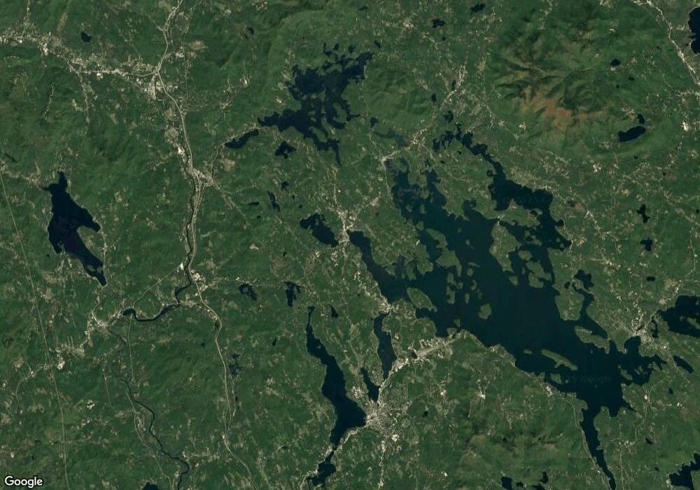
Map
Nearby Homes
- 1 Little Beaver Island
- 30 Leopards Leap
- 22 Tiger Trail
- 85 Blueberry Hill Rd
- 11 Quimby Rd
- 39 Lake Country Rd
- 103 Meredith Neck Rd
- 70 Pinnacle Park Rd
- 320 Redding Ln
- 113-117 Pinnacle Park Rd
- 29 Kona Farm Rd
- 203 Krainewood Dr
- 99 Pleasant St
- 31 Rays Way
- 5 Ferry Rd
- 00 Gilman Hill Rd Unit 1
- 142 Nh Route 25
- 75 Neal Shore Rd
- 111 Nh Route 25
- 7 Mudgett Ave