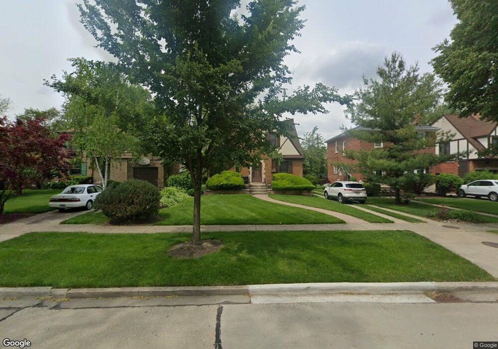
550 Byrd Rd Riverside, IL 60546
Estimated Value: $392,628 - $520,000
3
Beds
1
Bath
1,146
Sq Ft
$385/Sq Ft
Est. Value
About This Home
This home is located at 550 Byrd Rd, Riverside, IL 60546 and is currently estimated at $440,657, approximately $384 per square foot. 550 Byrd Rd is a home located in Cook County with nearby schools including Blythe Park Elementary School, L J Hauser Jr High School, and Riverside Brookfield High School.
Ownership History
Date
Name
Owned For
Owner Type
Purchase Details
Closed on
Jan 29, 2025
Sold by
Weiss James K and Weiss Sharon M
Bought by
Sharon M Weiss And James K Weiss Revocable Li and Weiss
Current Estimated Value
Purchase Details
Closed on
Mar 20, 2002
Sold by
Lasalle Bank National Assn
Bought by
Weiss Sharon M and Weiss James K
Create a Home Valuation Report for This Property
The Home Valuation Report is an in-depth analysis detailing your home's value as well as a comparison with similar homes in the area
Home Values in the Area
Average Home Value in this Area
Purchase History
| Date | Buyer | Sale Price | Title Company |
|---|---|---|---|
| Sharon M Weiss And James K Weiss Revocable Li | -- | None Listed On Document | |
| Weiss Sharon M | -- | -- |
Source: Public Records
Tax History
| Year | Tax Paid | Tax Assessment Tax Assessment Total Assessment is a certain percentage of the fair market value that is determined by local assessors to be the total taxable value of land and additions on the property. | Land | Improvement |
|---|---|---|---|---|
| 2025 | $8,968 | $34,000 | $7,500 | $26,500 |
| 2024 | $8,968 | $34,000 | $7,500 | $26,500 |
| 2023 | $9,079 | $34,000 | $7,500 | $26,500 |
| 2022 | $9,079 | $29,862 | $6,563 | $23,299 |
| 2021 | $9,370 | $31,453 | $6,562 | $24,891 |
| 2020 | $9,209 | $31,453 | $6,562 | $24,891 |
| 2019 | $7,258 | $24,050 | $6,000 | $18,050 |
| 2018 | $7,426 | $25,173 | $6,000 | $19,173 |
| 2017 | $7,205 | $25,173 | $6,000 | $19,173 |
| 2016 | $7,152 | $22,807 | $5,250 | $17,557 |
| 2015 | $7,163 | $23,440 | $5,250 | $18,190 |
| 2014 | $7,059 | $23,440 | $5,250 | $18,190 |
| 2013 | $6,738 | $24,228 | $5,250 | $18,978 |
Source: Public Records
Map
Nearby Homes
- 562 Byrd Rd
- 571 Byrd Rd
- 478 Kent Rd
- 2816 Wenonah Ave
- 2817 Wenonah Ave
- 484 Shenstone Rd
- 2532 Clinton Ave
- 475 Shenstone Rd Unit 104
- 475 Shenstone Rd Unit 304
- 475 Shenstone Rd Unit 303
- 2508 Kenilworth Ave
- 3111 Wenonah Ave
- 2716 Grove Ave
- 2728 Grove Ave
- 369 Addison Rd
- 2420 Kenilworth Ave
- 2516 Grove Ave
- 6840 29th Place
- 101 Southcote Rd
- 2252 Northgate Ave
Your Personal Tour Guide
Ask me questions while you tour the home.