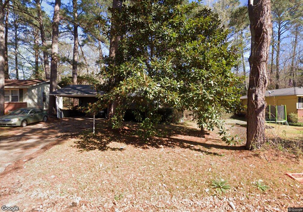
550 Daniel Cir Jackson, MS 39212
South Jackson NeighborhoodEstimated Value: $73,285 - $83,000
3
Beds
2
Baths
1,386
Sq Ft
$55/Sq Ft
Est. Value
About This Home
This home is located at 550 Daniel Cir, Jackson, MS 39212 and is currently estimated at $76,321, approximately $55 per square foot. 550 Daniel Cir is a home located in Hinds County with nearby schools including Reimagine Prep Middle School.
Ownership History
Date
Name
Owned For
Owner Type
Purchase Details
Closed on
Sep 13, 2018
Sold by
Semper Fidelis Llc
Bought by
Greene Chakita D
Current Estimated Value
Home Financials for this Owner
Home Financials are based on the most recent Mortgage that was taken out on this home.
Original Mortgage
$56,000
Outstanding Balance
$48,735
Interest Rate
4.5%
Mortgage Type
New Conventional
Estimated Equity
$27,586
Purchase Details
Closed on
Apr 9, 2009
Sold by
Deutsche Bank Nationalbank Trust Co As T
Bought by
Madison Capital Llc
Create a Home Valuation Report for This Property
The Home Valuation Report is an in-depth analysis detailing your home's value as well as a comparison with similar homes in the area
Home Values in the Area
Average Home Value in this Area
Purchase History
| Date | Buyer | Sale Price | Title Company |
|---|---|---|---|
| Greene Chakita D | -- | -- | |
| Madison Capital Llc | -- | -- |
Source: Public Records
Mortgage History
| Date | Status | Borrower | Loan Amount |
|---|---|---|---|
| Open | Greene Chakita D | $56,000 |
Source: Public Records
Tax History
| Year | Tax Paid | Tax Assessment Tax Assessment Total Assessment is a certain percentage of the fair market value that is determined by local assessors to be the total taxable value of land and additions on the property. | Land | Improvement |
|---|---|---|---|---|
| 2025 | $740 | $4,962 | $1,200 | $3,762 |
| 2024 | $740 | $4,850 | $1,200 | $3,650 |
| 2023 | $740 | $4,850 | $1,200 | $3,650 |
| 2022 | $933 | $4,850 | $1,200 | $3,650 |
| 2021 | $735 | $4,850 | $1,200 | $3,650 |
| 2020 | $724 | $4,817 | $1,200 | $3,617 |
| 2019 | $724 | $4,817 | $1,200 | $3,617 |
| 2018 | $1,368 | $7,226 | $1,800 | $5,426 |
| 2017 | $1,333 | $7,226 | $1,800 | $5,426 |
| 2016 | $1,333 | $7,226 | $1,800 | $5,426 |
| 2015 | $1,271 | $7,098 | $1,800 | $5,298 |
| 2014 | -- | $7,098 | $1,800 | $5,298 |
Source: Public Records
Map
Nearby Homes
- 3129 Adrienne Dr
- 2834 Glenderry St
- 1249 Marydale Dr
- 2842 Teresa Dr
- 2815 Tara Rd
- 2806 Tara Rd
- 2732 Teresa Dr
- 677 Woody Dr
- 3143 Shirley Dr
- 145 W Woodcrest Dr
- 2725 Charleston Dr
- 3155 Shirley Dr
- 3103 Woodside Dr
- 2813 Marydale Dr
- 2704 Shannon St
- 2677 Shannon St
- 920 Woody Dr
- 2646 Revere St
- 154 E Woodcrest Dr
- 2745 Marydale Dr
Your Personal Tour Guide
Ask me questions while you tour the home.